COLUMBIA, S.C. — If you have just moved to Columbia, or have lived here for a while but live or work in a different neighborhood, a new online tool has been created to make it easier to find fresh food vendors in the city.
The food access geographic information system (GIS) map lists outlets such as grocery stores, farmers markets, food pantries, FoodShare produce box sites and free summer meal locations for children age 18 and under.
The map was compiled in collaboration with Columbia's Food Policy Committee, DHEC, FoodShare SC, Harvest Hope Food Bank, Department of Education, Central Midlands Council of Governments, Richland School District One, and the city's GIS Department. The goal is to tackle food insecurity in areas where traditional grocery stores might be hard to find.
On Columbia's food map, you can search for food services by type, or name. Clicking on an icon will show you the the name, address, and phone number for the location. It will also give you information on when the locations are open.
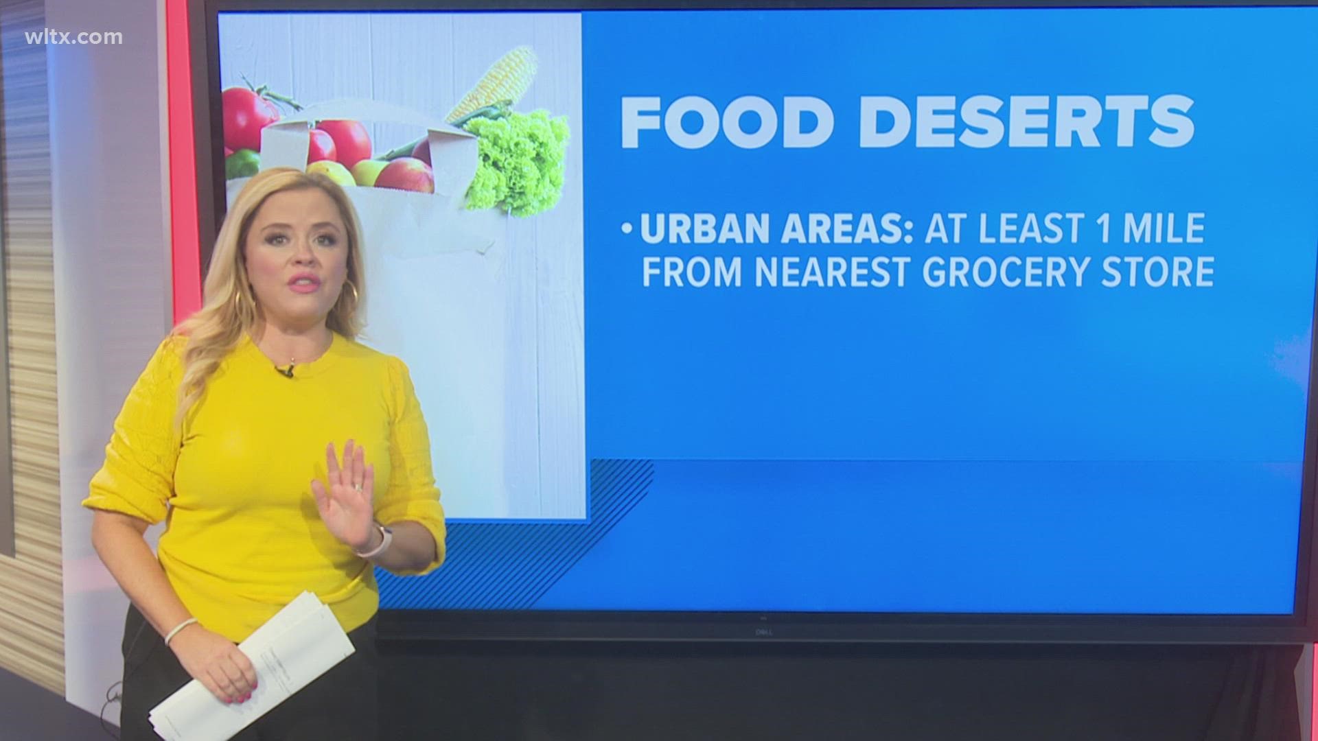
An area where people have limited access to healthy and affordable food is often described as a food desert. In urban areas, a food desert is defined as being more than a half a mile from the nearest grocery store. For rural communities, that's extended to 10 miles.
South Carolina's Department of Health and Environmental Control (DHEC) has a tool to keep track of food deserts across the state.
The yellow areas on DHEC's SC Food Desert map represent areas with limited access to food. Zooming in to Columbia, you can see that large sections of the city are in areas designated food deserts.
Columbia's food access map will be updated throughout the year, and residents are encouraged to add food accessible sites to the map by emailing location details to Columbia Food Policy Committee at columbiascfpc@gmail.com.


