
COLUMBIA, S.C. — A winter storm will bring snow and ice to the Midlands, which could trigger some hazards.
Download the free WLTX app for the latest weather on your mobile device.
The latest forecasts calls for some snow accumulation across most of the central Midlands, with the greatest risk in an area north and east of I-20 in Richland, roughly in Kershaw and Lee Counties. Those counties are in a winter storm warning, the first Midlands counties to get such a warning in three years. However, the rest of the region is at risk for snow, with a winter weather advisory in effect.
The wintry precipitation will stop overnight, but the remaining ice and snow in some areas could lead to slippery roads.
WLTX will post the latest updates on the storm below:
12:32PM Don't forget about the wind chill.
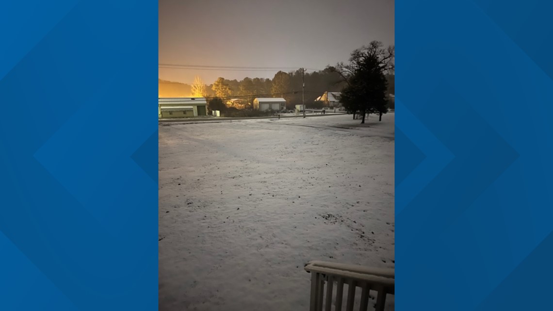
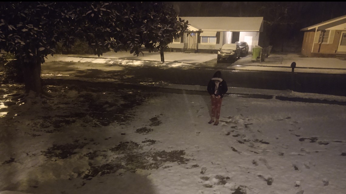
12:21PM: Photos from the St. Andrews area that show just what a difference a few hours can make.
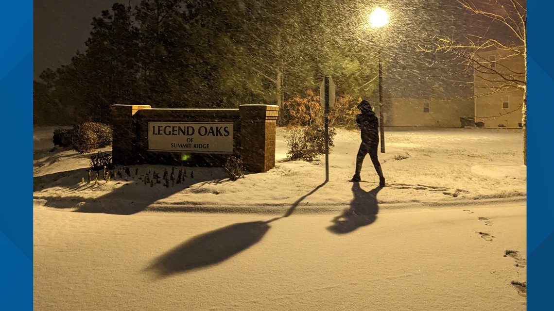
12:17PM: Photo from viewer Adianez Espada of Legend Oaks in Richland County.

12:12PM Beautiful photo of downtown Lexington by the Lexington Police Department.
12:09PM The Batesburg-Leesville Fire Department says the roads in the area are getting slicker and if you don't have to be on the roads stay home.
12:06PM If you do a snow angel like our reporter Tai Wong we hope you'll send us photos and video.
11:44PM: Photo by Angel Meyers from the St. Andrews area.

11:40PM Lexington Police advising caution on roadways.
11:30PM:
10:50PM:
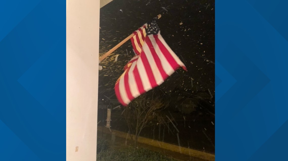
10:45PM: Photo by Leah Crocker of her flag in the snow.

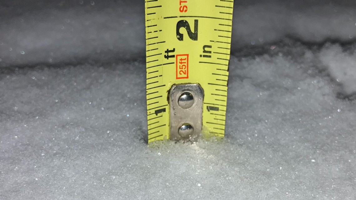
10:40PM: It's official. Columbia gets over an inch of snow for the first time in eight years.
10:38PM: University of South Carolina tweets students on the Horseshoe and a snowball fight.
10:33PM: WLTX Meteorologist Corey Smith outside the WLTX studio.
10:27PM: Beautiful snow scene in Pine Ridge, SC by Chad Dulinsky.

10:22PM: Snow photos from Andrew Peeler on Monticello road.

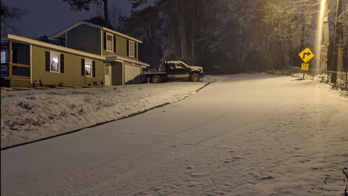
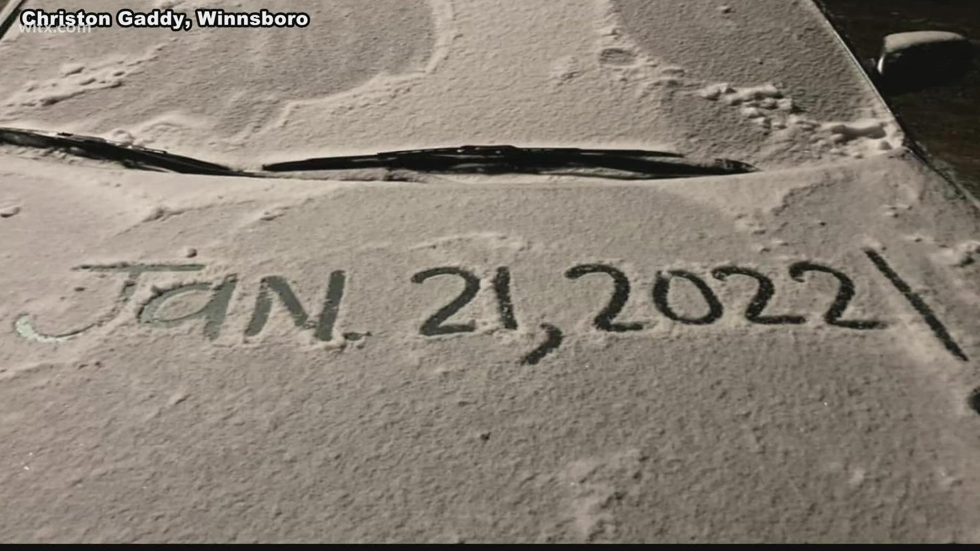
10:15PM: Photo from Tyresha Quails in Winnsboro.

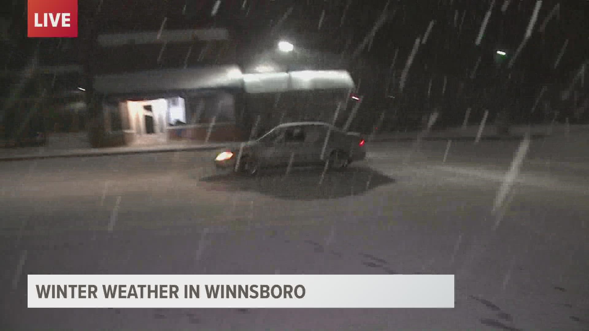
10:13PM: Update on snow in Winnsboro.
10:10PM: Snow on Leesburg road from the Sutton family!

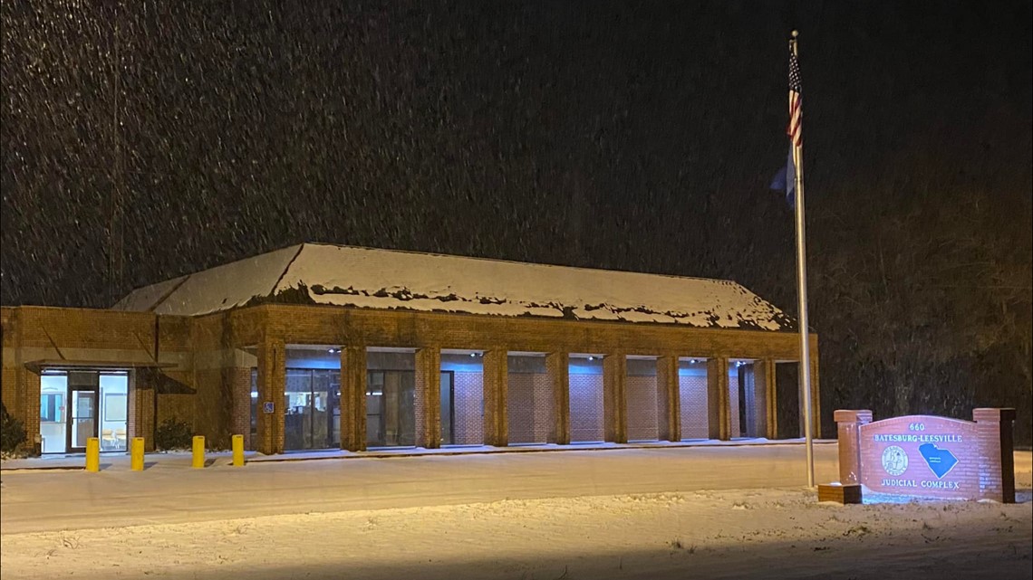
10:05PM: Batesburg-Leesville Judicial Complex covered in snow.

10:02PM From USC President Harris Pastides:
9:57PM
9:53PM You might recognize him from your favorite WLTX commercials, but here Benny enjoys some snow in the Harbison area.
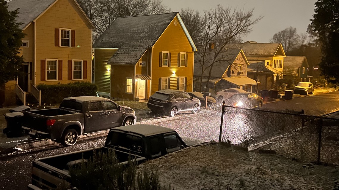
9:47PM: Snow falling in West Columbia.

9:33 PM: Snow coating Meteorologist Alex Calamia's deck in northeastern Columbia.
9:05 PM: More snow falling at WLTX!
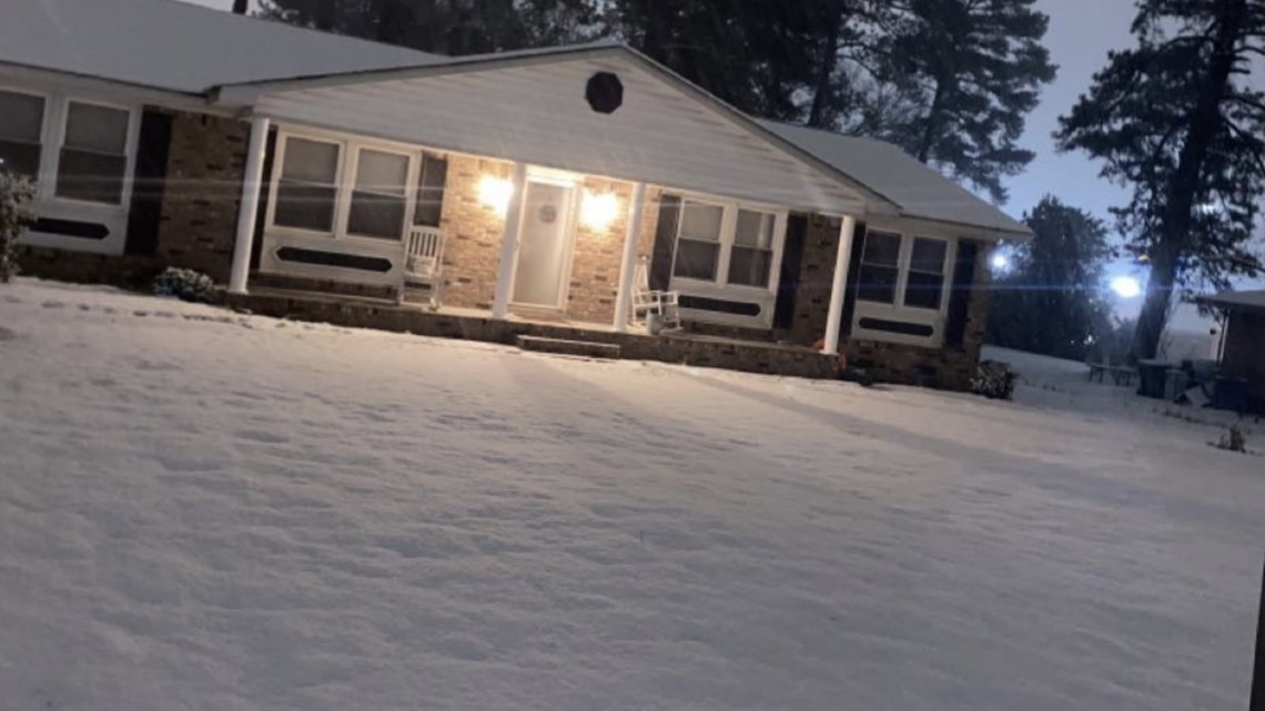
9:00 PM: Meanwhile, back in Winnsboro, about a half-inch of snow.

8:58 PM: Just before 9 p.m., it's officially snowing lightly on Garners Ferry Road in Columbia.
8:48 PM: Snow falling in northeast Richland County according to WLTX's Darci Strickland!
8:45 PM: We're now receiving reports of snow as far into Columbia as the Earlewood neighborhood.
8:24 PM: Viewers are reporting a "good dusting" of snow in Lugoff near Lake Wateree.
8:22 PM: Seeing snow? Be sure to report it to WLTX and the National Weather Service.
8:15 PM: Meteorologist Alex Calamia is reporting freezing rain and sleet covering his porch. But there are snowflakes beginning to fly!
7:55 PM: Reports of accumulation in Little Mountain (Newberry County) are beginning to come in.
7:45 PM: The National Weather Service is reporting that the "transition zone" is now moving into the I-20 area from Camden to Lexington. This will lead to driving conditions continuing to deteriorate.
7:45 PM: Residents are now reporting snow in northern Richland County - particularly in the Blythwood area.
7:43 PM: Snow is beginning to accumulate in Winnsboro
7:42 PM: Frozen precipitation and even snow falling around the Midlands have not yet led to any serious power outages across Dominion Energy, Duke Energy, and the state's electric cooperatives. There are less than 10 outages reported in the Midlands.
7:41 PM: Snow is making its way into Lexington County now with flurries over Chapin.
7:33 PM: Frozen rain on a palmetto leaf? Only in South Carolina
7:27 PM: Snow mixing with rain in Camden, South Carolina.
7:25 PM: An update from Meteorologist Daniel Bonds. Snow is now covering the deck and dusting the grass in Winnsboro.
7:23 PM: Key message from WLTX as we head deeper into this cold evening: If the precipitation hasn't changed over yet, it will between 8 p.m. and 9 p.m. And the roads will be hazardous when it does.
7:17 PM: WLTX's Becky Budds isn't seeing snow - or much of anything else - through her frozen windshield in Columbia.
7:13 PM: The National Weather Service office in Columbia is reporting increasingly slick roads where precipitation is falling, particularly as roads are cooling. They recommend residents avoid travel where possible.
7:10 PM: Public reports of sleet are coming out of Richland County near Blythewood according to the National Weather Service.
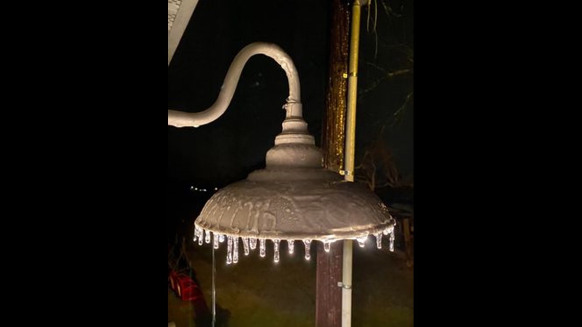
7:06 PM: Viewer Bridgett Addy just shared this photo of frozen raindrops on a lamp in Hopkins, South Carolina.

7:03 PM: The National Weather Service suggests there are public reports of snow near Little Mountain in Newberry County.
7:00 PM: Emergency management in Orangeburg County is reporting freezing rain near Holly Hill, South Carolina.
6:40 PM: The National Weather Service is showing public reports of freezing rain in Richland County along Delchester Drive.
6:37 PM: Minutes later, Daniel Bonds is seeing sleet transitioning to snow in Winnsboro.
6:34 PM: We're officially seeing some snow in Fairfield County!
6:03 PM: Meteorologist Daniel Bonds shared this report from Winnsboro that shows rain now transitioning into sleet as night falls.
6:00 PM: With temperatures dropping, many agencies are urging the public to stay off of the road due to the possibility of freezing water. However, for those who do have to drive, the South Carolina Department of Public Safety has these tips in the event that they start to skid.
5:56 PM: Chief Meteorologist Efren Afante is sharing a forecast of what you can expect overnight with a 70% chance of sleet and snow flurries. Expect temperatures as low as 23 degrees with wind chills down to 17 degrees.
5:54 PM: Emergency management in Kershaw County is reporting light sleep in Lugoff near Lake Wateree according to the National Weather Service.
5:37 PM: Freezing rain at WLTX Studios
Seeing some freezing rain accumulate at the station in Columbia. Just a light glaze on plants right now.
5:30 PM: The National Weather Service is reporting public accounts of light freezing rain in and around Orangeburg.
5:25 PM: Sleet, freezing rain
Some sleet and snow being reported in this area in Fairfield County
4:45 PM: The National Weather Service reports a co-op observer indicating a sleet and snow mix in the Longton area of Fairfield County.
4:33 PM: Ice on palm trees in Lexington County
From Mitch West: "Already have ice starting to hang off my palm tree in Oak Grove"
4:29 PM: Freezing drizzle
From News19 Meteorologist Alex Calamia: "We have freezing drizzle in Columbia, SC on the north side of town."
4:10 PM: Wintry precipitation begins in the Midlands
Precipitation is starting to change to freezing rain, sleet and maybe some snow flakes.
3:25 PM: Winter storm warning issued for Richland, Lexington, Fairfield, Sumter Counties.
A winter storm warning has been issued for more Midlands counties. Richland, Lexington, Fairfield, and Sumter were added just after 3:20 p.m. They join Kershaw and Lee, which were already under the advisory.
The change from a winter weather advisory to a winter storm warning means those areas could see more than two inches of snow.
2:58 PM: South Carolina National Guard mobilizes
The SC National Guard is prepared with personnel and equipment at several locations throughout SC Jan. 21, as part of vehicle recovery teams in support of civil authorities responding to expected winter weather conditions.
2:45 PM - Lexington County offices close early
Lexington County government has made the decision to close down offices at 3 p.m. due to the weather.
2:02 PM - Quiet in downtown Columbia
Things are QUIET here in Downtown Columbia as winter weather makes its way towards the capital city. Not many people are out and about.
1:42 PM: SCDOT Preparing the roads
Per SCDOT: "SCDOT crews are seen spreading salt brine on I-20 in Kershaw County. Please slow down and stay off the roads if you can."
1:04 PM: Sumter United Ministries winter shelter is open
From News19's Kayland Hagwood: The Sumter United Ministries Winter Shelter is open for 24 hours today and Saturday to help those in need during the storm.
11:27 AM: Models are in agreement: Snow will happen in the Midlands
From News19 Meteorologist Daniel Bonds: Short-range forecast models are in pretty good agreement with the snow across the Midlands. The greatest chance for snow is in the winter storm warning area (Kershaw and Lee counties).