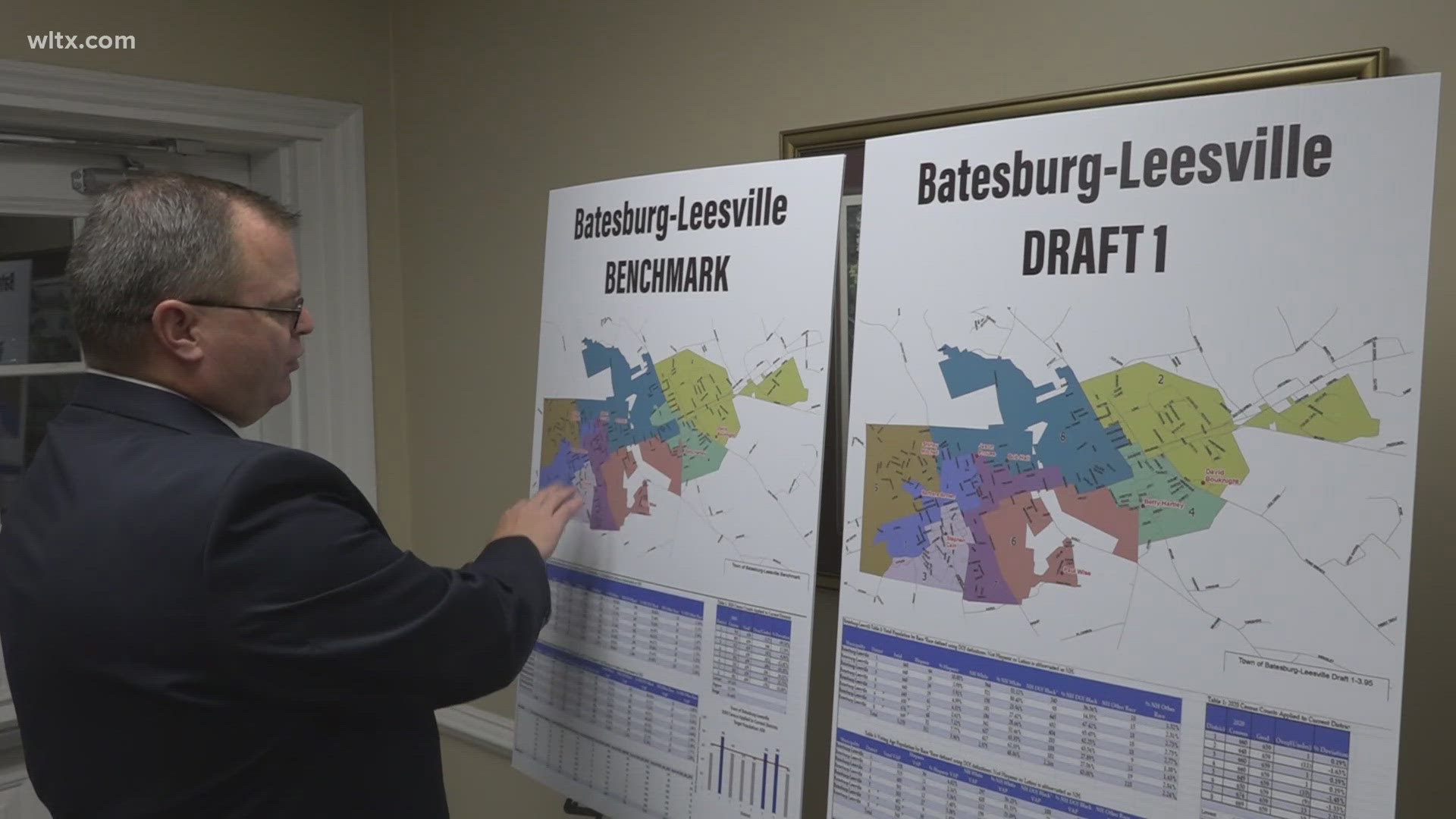
BATESBURG-LEESVILLE, S.C. — South Carolina surveyors are ready to discuss their efforts to figure out exactly where the border between Lexington County and Saluda County lies.
The South Carolina Geodetic Survey is holding a public meeting at 6 p.m. Monday at the Batesburg-Leesville Town Hall.
The agency was asked in 2014 to make exact measurements of county borders which were initially surveyed a century ago or longer through less exact methods than today's satellites and GPS.
Surveyors also use historical records and explanations of the boundaries from state law to determine the precise location of county lines.
The survey has already resolved county lines in several other parts of the state and took up determining the exact location of the state line between South Carolina and North Carolina about a decade ago.


