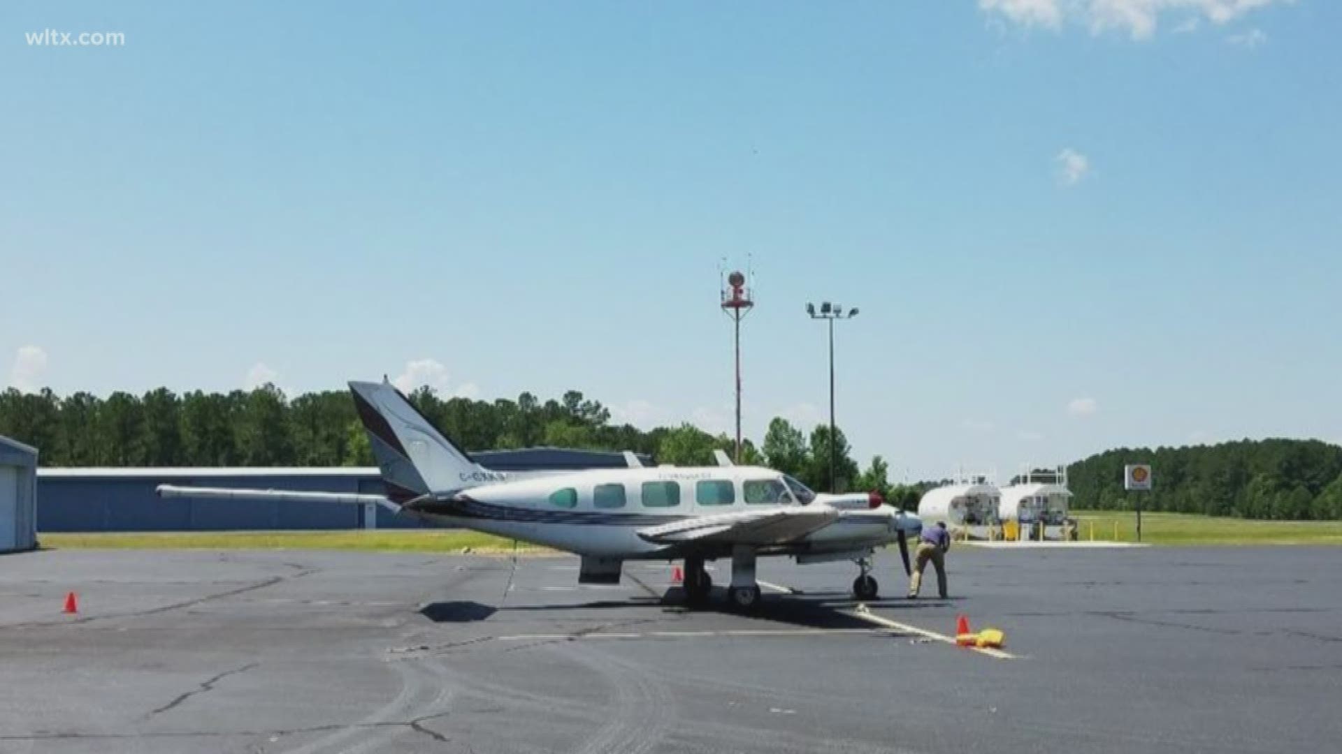
COLUMBIA, S.C. — You may see a low flying airplane in the next month but don't panic.
Geologists from the United States Geological Survey are doing low-level flghts as a way to image geology above and below ground.
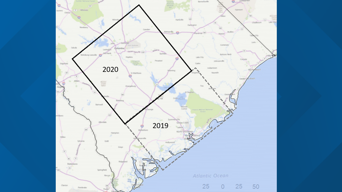
Beginning in March and lasting through April, an airplane under contract to Terraquest Inc. will be flying over Columbia, Orangeburg and portions of Aiken, Bamberg, Barnwell, Calhoun, Clarendon, Colleton, Dorchester, Edgefield, Fairfield, Kershaw, Lee, Lexington, Orangeburg, Richland, Saluda, Sumter and Williamsburg counties.


Instruments on the airplane will passively detect the Earth’s naturally occurring magnetic field and radiation. The surveys will be adjacent to those flown in 2019 to help evaluate earthquake hazards in the Charleston-Summerville area and will use the same technology. While earthquakes have been less common in the 2020 survey area, the new information will help researchers develop geologic maps of the area and better evaluate natural resources.
Flights will occur at an altitude of 300 to 500 feet above ground.
Experienced pilots specially trained and approved for low-level flying will operate the aircraft. All flights will occur during daylight hours and are coordinated with the Federal Aviation Administration to ensure accordance with U.S. law. The flights will be based out of the Santee-Cooper Regional Airport in Manning.

