COLUMBIA, S.C. — Some scientists say water seeping deep into the ground may be causing a swarm of earthquakes in the midlands region of South Carolina.
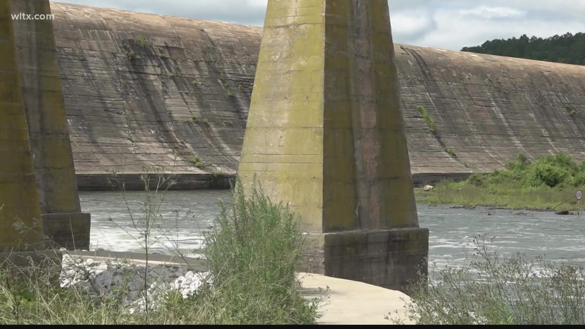
More than 60 earthquakes have been recorded since December in an area near the towns of Lugoff and Eglin, about 20 miles northeast of Columbia. Now, some geologists suggest that an initial December quake may have allowed water from the Wateree River to seep into new cracks opened by the quake, setting off additional temblors.
Pradeep Talwani, a retired geologist and former director of the South Carolina Seismic Network at the University of South Carolina, suggests that the additional quakes may be caused by hydroseismicity, the effect of water impacting earthquake faults.
“What I’m thinking is contributing to all these earthquakes was the month, to month-and-a-half of very high water levels we had,’’ Talwani, a leading authority on the impact of water on seismic activity, told The State newspaper of Columbia. “Those pressure pulses are going into these fractures.’’
The idea is that water moving above ground can increase pressure on water below ground. That downward pressure, in turn, can cause the earth to move.
"We think it probably ought to be looked into,’’ said Scott Howard, the state’s chief geologist with the South Carolina Department of Natural Resources.
Howard and Talwani are examining river levels in the Wateree, which are affected by the Lake Wateree dam upstream. They're also seeking information about changes in water wells. Cloudy water or sinking well levels could show a relationship to earthquakes, Howard said.
Five earthquakes with a magnitude of more than 3 have been recorded in the area. The largest quake was 3.6 in magnitude last month, an event that was felt across the region.
So far, no damage has been reported. Typically, earthquakes have to exceed 5 in magnitude to damage structures. But state officials say the current swarm of earthquakes could weaken buildings from repeated shaking.
The earthquake fault zone isn't connected to bigger faults near the Atlantic coast, officials said. A 7.3 magnitude quake that hit the Charleston area in 1886 leveled buildings, sparked fires, and killed at least 60 people.
It would take more manpower and equipment to prove that hydroseismicity is causing the Elgin quakes or understand the fault system, Howard told The Post and Courier of Charleston.
Monitoring equipment is expensive, and the limited units available are concentrated in areas with a history of larger earthquakes.
Currently, only a single seismic monitoring station is located near Elgin, deployed by the South Carolina Seismic Network in late December, said Scott White, the network’s director.
But so far, when he’s requested more equipment, Howard said he's been turned down because the quakes are so weak.
"'They’re too small.' is the response we keep getting," he said.

