COLUMBIA, S.C. — Hurricane season officially began June 1 and runs through November 30, 2023. As they always do during the first weeks of the season, the South Carolina Department of Public Safety (SCDPS), Department of Transportation (SCDOT), and Emergency Management Division (SCEMD), along with other state and local agencies, will be conducting a full-scale exercise of the state's hurricane evacuation plan from the coast.
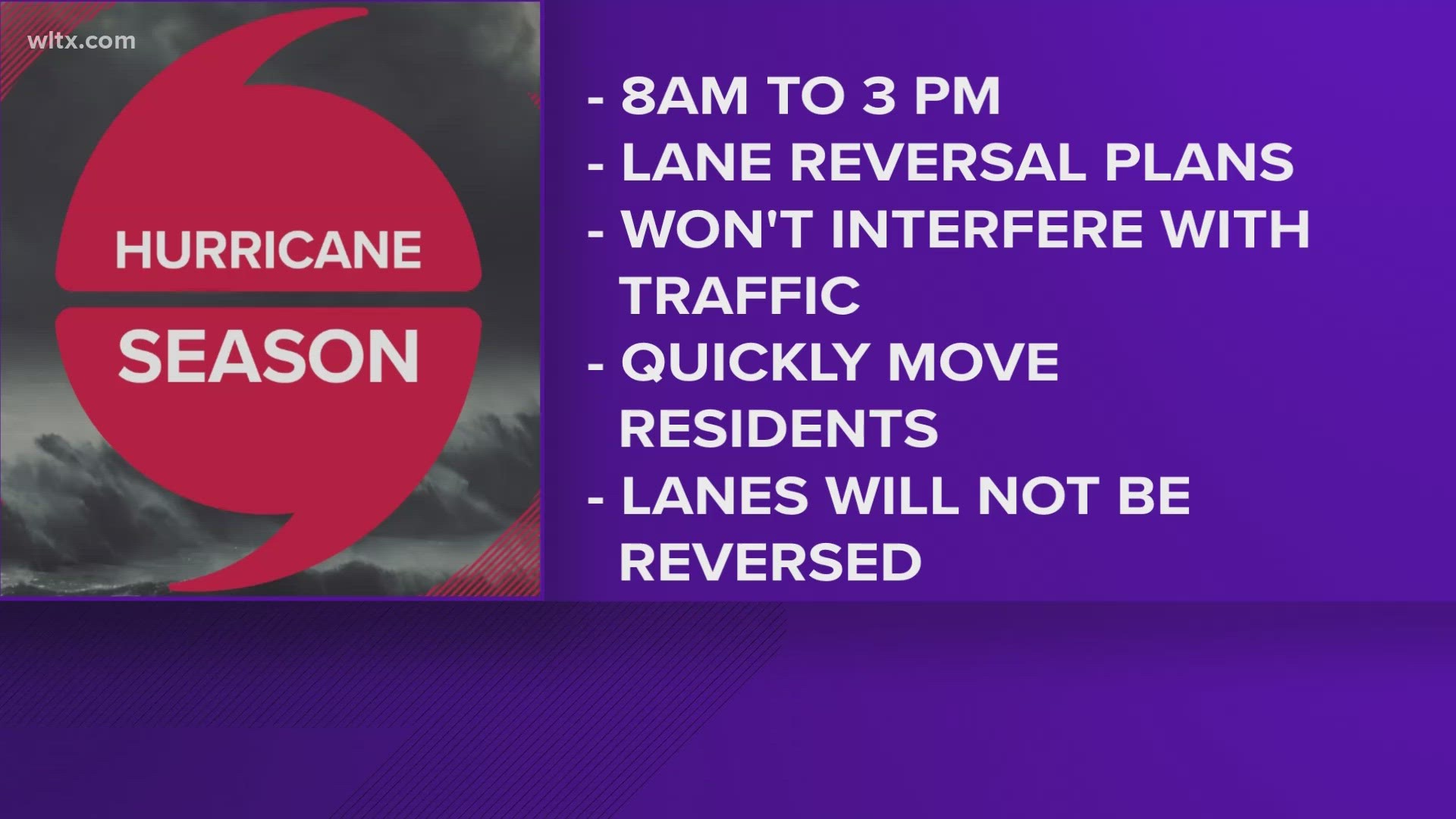
Scheduled for 8 a.m. to 3 p.m. Thursday, June 8, the exercise will test lane reversal plans for I-26, US 21, US 278, US 501, and SC 544 in the event of a coastal evacuation order. Please note that NO TRAFFIC LANES WILL ACTUALLY BE REVERSED during this exercise -- it is only a test.
Motorists along the designated evacuation routes should expect to see personnel and equipment deployed from the participating agencies -- including SC State Law Enforcement Division (SLED), Department of Natural Resources (SCDNR), SC Forestry Commission, Department of Probation, Parole and Pardon Services, SC Army National Guard (SCANG), and Civil Air Patrol.
As a reminder, the exercise will not interfere with the flow of traffic. Intersections will not be blocked, and motorists will be allowed to move freely. However, the Highway Patrol cautions motorists traveling I-26, U.S. 501, and S.C. 544 as well as U.S. 278 and U.S. 21 to exercise caution and be aware that law enforcement officers and state personnel will be located on the shoulder of the highway and at exits.
The exercise will simulate reversal operations on U.S. 278 and U.S. 21. The deployment of equipment and personnel will be made on these roads leading out of Hilton Head and Beaufort. SCDOT equipment will be stationed on U.S. 278 from Almeda to Hampton in Hampton County. Law enforcement personnel and traffic control devices will be deployed along Interstate 26 from the intersection of the 197 mm (Nexton Parkway) and I-26 in Charleston to I-77 and I-26 in Columbia. Traffic control equipment and personnel will be stationed on U.S. 501 beginning at S.C. 544 and ending at U.S. 378 as well as between S.C. 22 and the Marion By-Pass. Aerial units from the SC National Guard, the Civil Air Patrol, the South Carolina Department of Natural Resources and the South Carolina Forestry Commission will be flying assigned aerial surveillance routes.
“These annual exercises are critically important as it helps our agency coordinate a hurricane evacuation response with our state and local partners,” said SC Department of Public Safety Director Robert G. Woods, IV. “During the exercise, our course of action and communication are tested in such a way that allows us to assess our response and make critical adjustments. A successful exercise should provide confidence to the public that we are prepared to safely and quickly move residents and visitors in the event of an evacuation order.”

