COLUMBIA, S.C. — The Congaree River has been running above its normal stage; not technically flooding right now but still elevated is due to the heavy rain we saw over the weekend; around 2-3 inches. It has felt like it has been a really wet start to this year but is that actually the truth, let’s break that down.
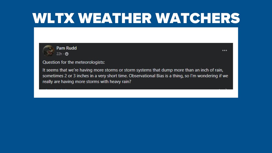
There’s plenty of sunshine this week in the Midlands, as temperatures easily reach the 70s. This hasn’t been the case for much of this year though. One of our WLTX Weather Watchers brought up the increased rain recently and was wondering if we were having more systems drop heavy rain.

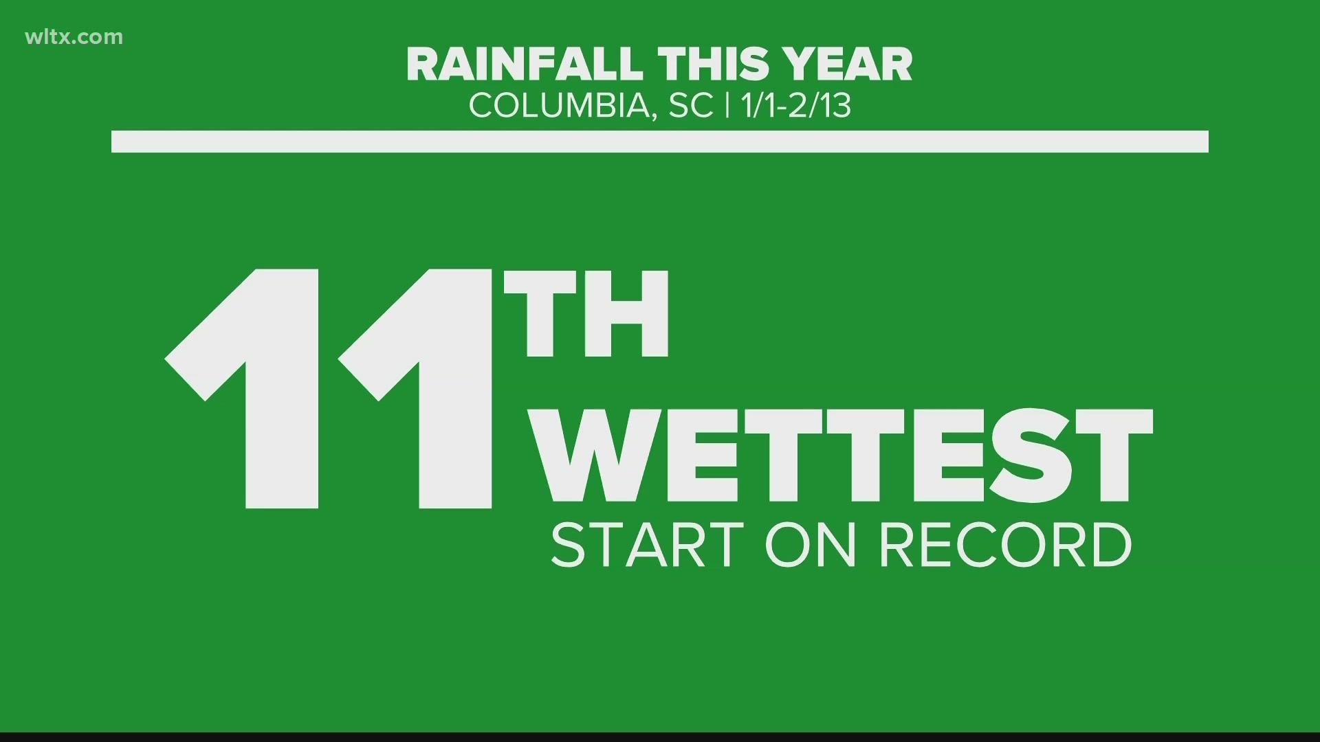
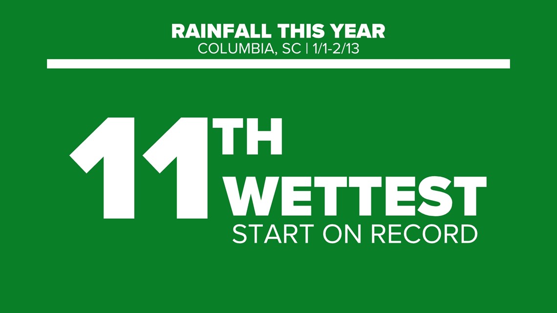
This year so far, currently, we are at the 11th wettest year on record with 8.87 inches in Columbia.

To address Pam’s question about storms dropping at least 1 inch of rain, we have already seen that 3 times this year which ties us for 7th all-time, which is more than normal.
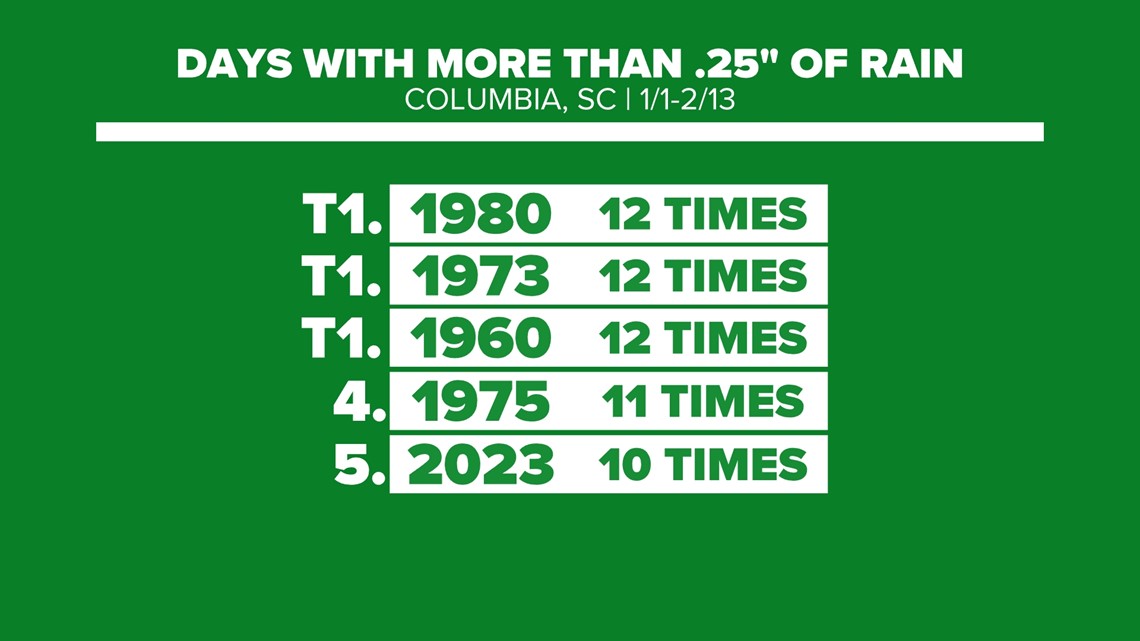
If we change our amounts though we can really see it’s been more about the frequency of rain, we have seen in 2023. So far, we have picked up at least a quarter of an inch of rain 10 times, that’s the 5th most ever for this portion of the year.

Let’s explain all of this wet weather then. We have been in a La Nina winter, which typically favors a warm but also drier weather pattern for South Carolina. So why hasn’t this been the case? Our pattern has actually been more spring-like than winter.

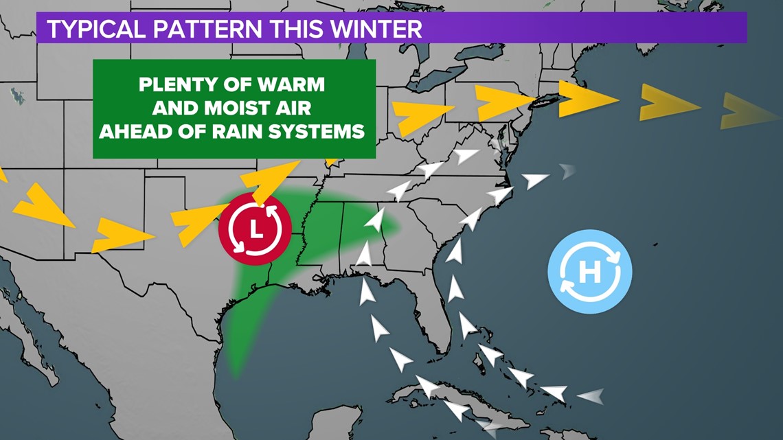
A large trough in the west with ridging in the east allows high pressure to usher in plenty of warm and moist air ahead of approaching low-pressure systems that move across the country. This has all led to the wetter-than-average start to the year here in the Midlands.

