
COLUMBIA, S.C. — The National Weather Service has completed its survey of the three tornadoes that struck Lexington and Richland Counties Sunday, and the result is a clearer picture of the path of destruction the storms took.
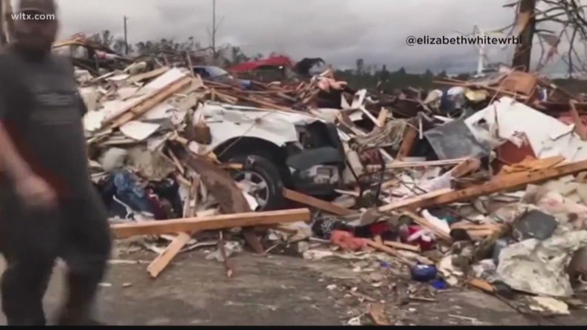
The twisters were part of the large outbreak of severe weather and tornadoes that moved through the southeastern United States Sunday. A total of 23 people died, but all of those deaths were in Lee County, Alabama, where a massive tornado with 170 mile an hour winds struck.
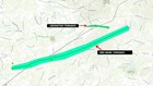
In the Midlands, the most powerful tornado we saw had winds of 110 miles an hour. Three tornadoes were observed: one near the town of Red Bank in Lexington County, one near the town of Lexington, and the other in Columbia. The longest went along a nearly 11 mile long path, while another went just a mile and a half.
Luckily, there were no injuries, just property damage.
Below is the detail of the surveys, showing when the twisters struck, how long they were on the ground, how powerful they were, and the damage they produced.
Red Bank, SC Tornado:
Start location: 2 east-southeast of Gilbert
End location: 2 miles southwest of Oak Grove
Estimated time: 06:53 pm est
Maximum EF-scale rating: EF 1
Estimated maximum wind speed: 100 mph
Maximum path width: 100.0 yards
Path length: 10.92 miles
Injuries/Fatalities: none
Summary: A tornado touched down near Blackthorn Drive and Two Notch Road southeast of Gilbert, then tracked in a general east-northeast direction for approximately 11 miles, crossing I-20 between mile markers 48-49, then moving across Long Pond Road, Muddy Springs Road, South Lake Drive and Emanuel Church Road before dissipating near Kitti Wake Drive near Red Bank.
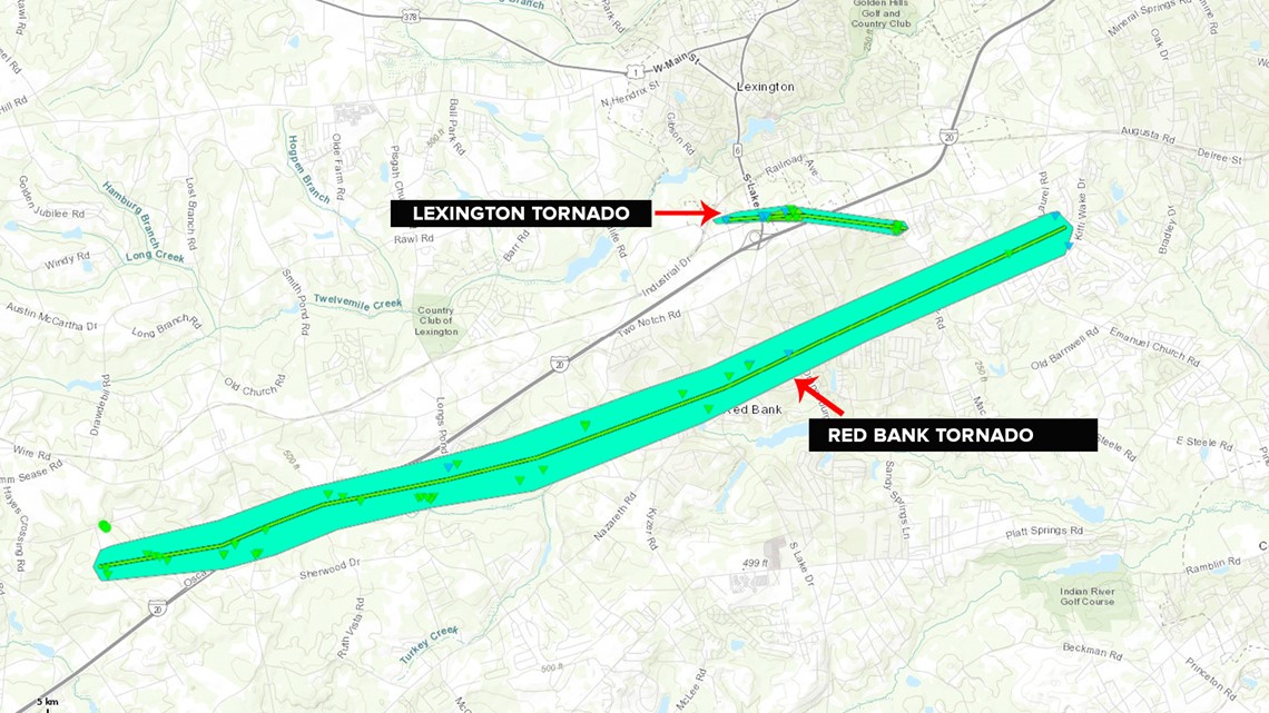
The tornado snapped and uprooted numerous hardwood and softwood trees, causing damage to support columns at the Red Bank Baptist Church, and resulted in roof and property damage to several homes.
RELATED: 'Very thankful that I'm alive,' tornado knocks down trees around Lexington residents' homes
Lexington, SC tornado:
Start location: 2 miles south of Lexington
End location: 2 miles southeast of Lexington
Estimated time: 07:02 pm est
Maximum EF-scale rating: EF-1
Estimated maximum wind speed: 110 mph
Maximum path width: 50.0 yards
Path length: 1.93 miles
Injuries/fatalities: 0
Summary: A tornado touched down near Industrial Boulevard in Lexington, then tracked to the east for approximately 1.9 miles, crossing South Lake Drive, Glassmaster Road, I-20 and Two Notch Road, before dissipating near Shirway Road.
The tornado produced damage to several businesses along the path. There was damage to an awning at the Shell gas station on south lake drive at Glassmaster Road. The roof was blown of the porch of a seafood restaurant. there were about 8 recreational vehicles that were overturned at a business along Glassmaster Road, with several of them moving nearly 50 yards. Two other large trailers were overturned at another business along Glassmaster Road. Some minor roof damage occurred to homes near Shirway Road and Dusty Court.
Many hardwood and softwood trees were also snapped or uprooted along the path of the tornado.
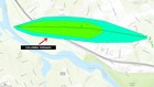
Columbia, SC Tornado:
Start location: 2 miles northwest-west Columbia
End location: 2 north west Columbia
Estimated time: 07:13 pm est
Maximum Ef-scale rating: EF-1
Estimated maximum wind speed: 105 mph
Maximum path width: 150.0 yards
Path length: 1.46 miles
Fatalities/injuries: 0
Summary: A tornado touched down near the Saluda River just south of the I-26 and I-126 interchange, north of the Riverbanks Zoo. The tornado then tracked to the east for approximately 1.5 miles, crossing I-126, Janice Drive, Betsy Drive, Saluda River Road, Timothy Drive, Moore Hopkins Lane, and Greystone Boulevard, before dissipating near West Shawnee Road.

The tornado produced significant damage along its path, snapping and uprooting a significant amount of hardwood and softwood trees.
Many of the trees fell onto vehicles and homes. Major structural damage occurred to several of the homes along the path due to the fallen trees. Additional straight line wind damage occurred east of the tornado to near Bull Street.