COLUMBIA, S.C. — In just a span of one day, we have picked up close to the same amount of rain we have already seen this month. We have talked about the drought in the region and how it continues to expand.
This dry weather has led to burn bans and has allowed for multiple wildfires to begin burning over the past few weeks in states like North Carolina, Tennessee, and Virginia.
The rain this week is the first heavier rainfall of an inch or more that some of these locations have seen in months.
With rainfall on Tuesday creating wet conditions, this is something that the Climate Prediction Center says might become more common as we close out the end of the year.
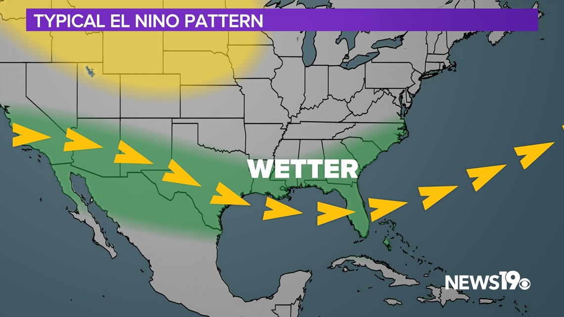
We have talked about how El Nino impacts our winters but when it comes to precipitation the subtropical jet creates a more active storm track that we haven’t seen so far this Fall.


This is looking to change starting with the rain we are currently seeing. The jet stream is helping the low pressure moving across the eastern US develop and could play a role in other systems in the coming weeks.


Models remain very split on our future weather but remain consistent in southerly storm tracks that would bring beneficial rain to the region.
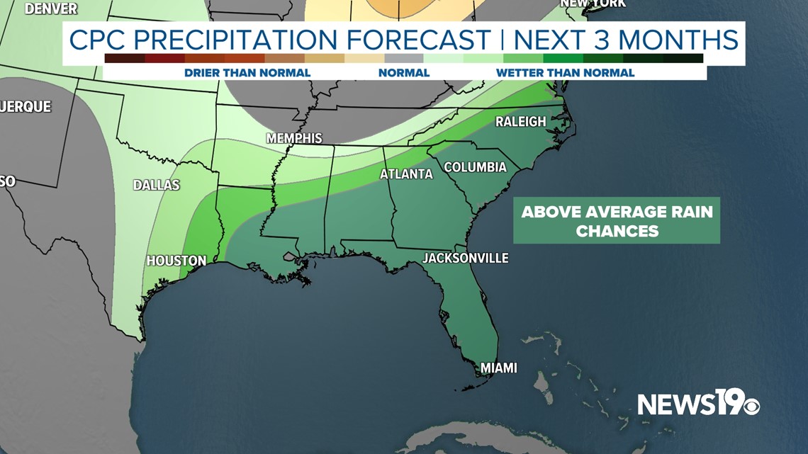
This can be backed by forecasts from the Climate Prediction Center that stretches into the next 3 months. As of right now, a very wet pattern is looking to develop in the coming weeks and into the winter months ahead.


