COLUMBIA, S.C. — If you have kept up with national weather news you already know it has been a rough 24 hours out west. A tornado outbreak leveled communities across several states in the Mid-South. In the Upper-Midwest cities and towns were covered in over a foot of snow on the northern side of the system. While we will learn more about the true scale of damage especially from the severe weather in the coming days, this system will continue to work east and bring us rain through early Sunday morning.

The cold front associated with this system is moving through this evening and will bring some heavy rain along with gusty winds. Scattered showers are expected to be continuing overnight and into the early morning hours on Sunday. As you wake up, well, that rain should be long gone but clouds will be greeting us to start off the day.

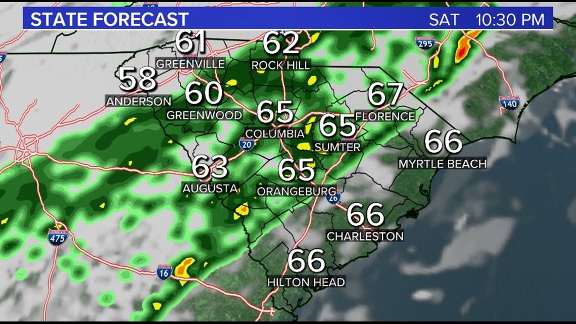
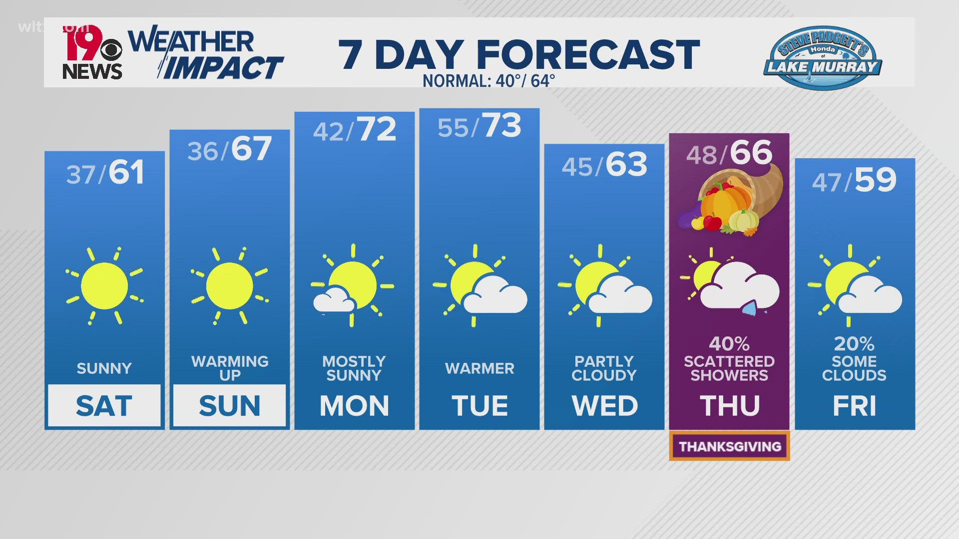
Sunshine should break out as we get into the afternoon and we will be cooler with highs topping out in the upper 50s for most.
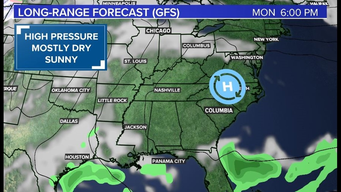
As we go into next week, it is all about high pressure! A high will be building into the region on Monday and not moving too much as we go into next week. That means two things; plenty of sunshine and warming temperatures as we go through the week.
While we did pick up rain the last few days this prolonged dry period ahead isn't what we need with ongoing drought conditions across the state. Warm conditions during this period as well will keep