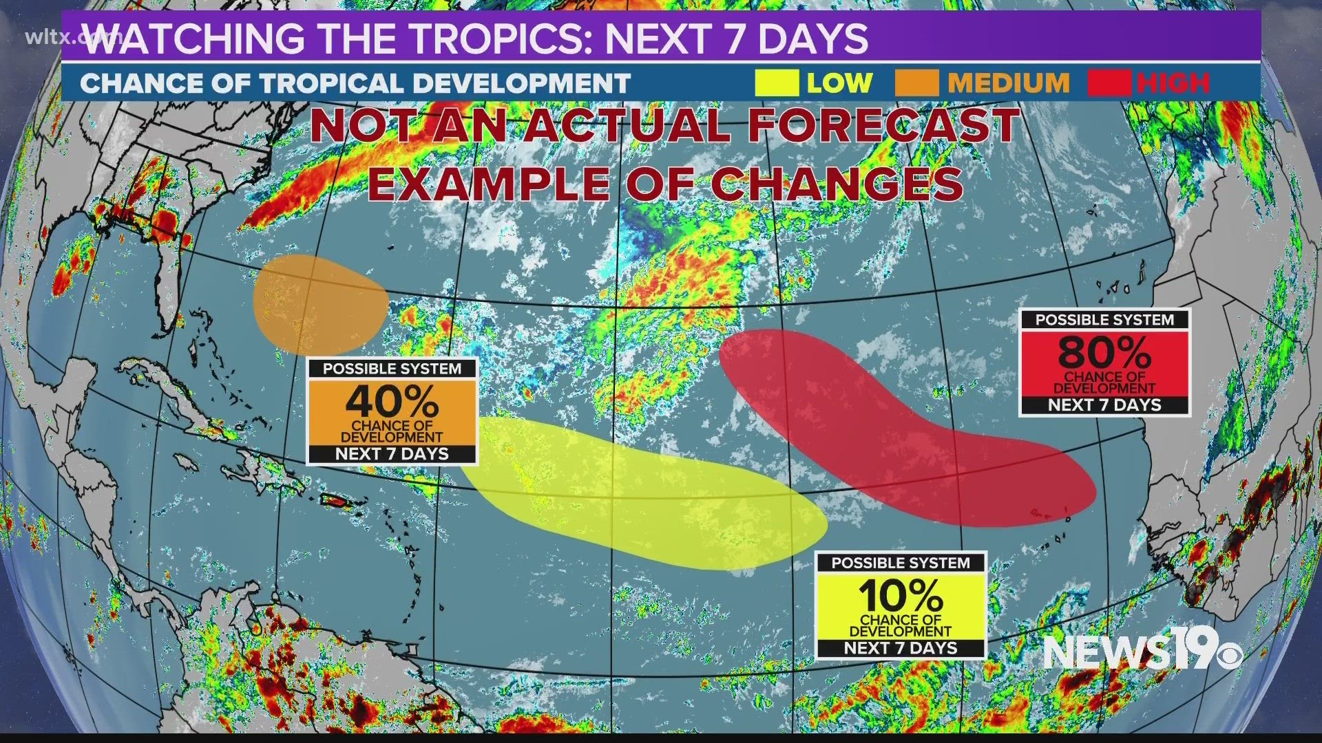
COLUMBIA, S.C. — Tropical systems are unique when it comes to the weather world. They can spin up off our coasts or travel an entire ocean before impacting land. This means we could see well over a week's notice or as little as 48 hours when it comes to these systems. This makes giving a large lead time to prepare for these storms more important which is why the National Hurricane Center is implementing multiple changes this year.
This year, we will bring you the forecast for tropical weather in a new way. The National Hurricane Center always strives to improve its forecasts and communication and this year is no different.
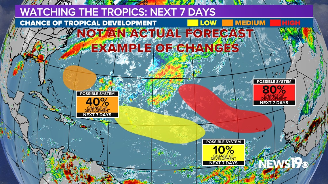
This past Monday, the NHC has begun to issue extended tropical weather outlooks. You have seen these maps before but, instead of being issued for 2 and 5 days out, they will now include a 7-day forecast.

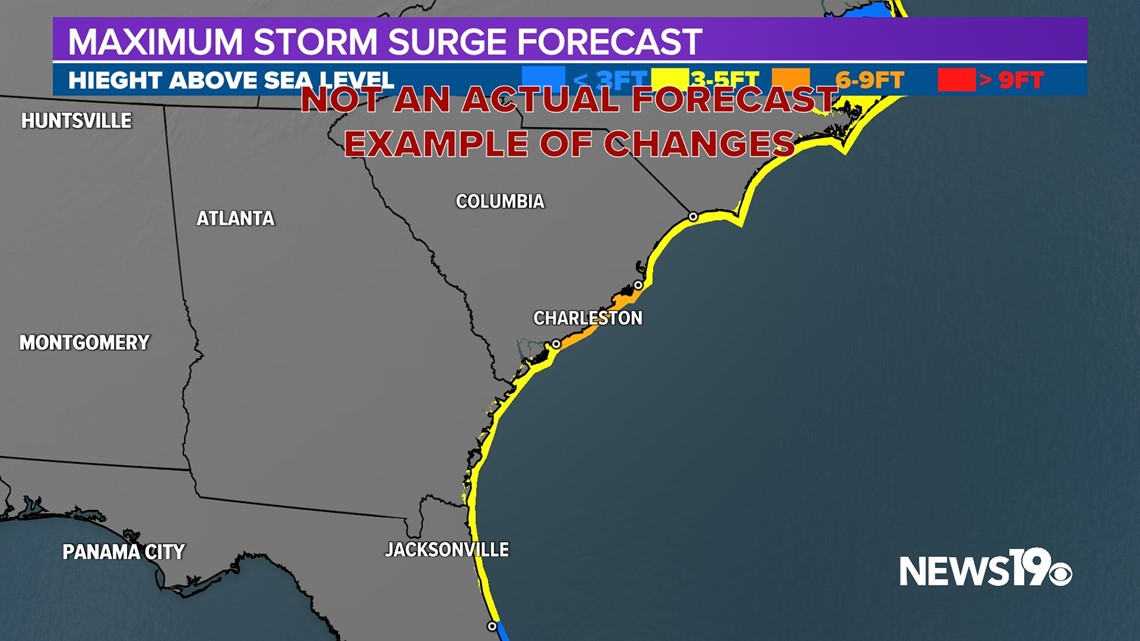
Along with this change, the Storm Surge Forecast is now an official product from the National Hurricane Center. This will allow us to better communicate coastal impacts from these storms.

The tropical forecast cone will not see any major changes this year but we have seen it shrink in size over the past 2 decades.

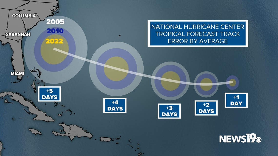

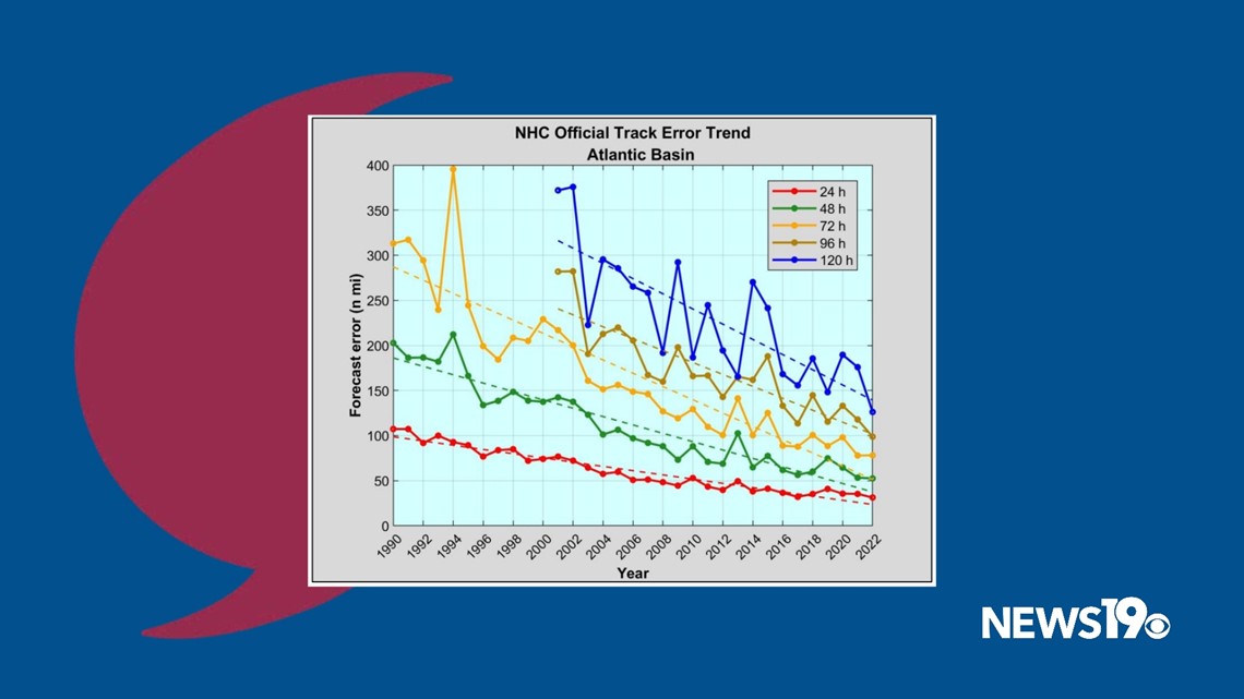
When the comes to the actual forecast, since 2005 we have seen forecast track error almost half in distance from the National Hurricane Center which has allowed for a more accurate forecast up to 5 days out. This trend can be seen in error numbers that continue to fall year after year leading to a better track when Hurricanes approach the coast.

