(WLTX) - Hurricane Michael has formed, and is tracking toward the southeastern United States.
At present, the storm is expected to strike the Florida panhandle by mid-week, and then move across Georgia and into South Carolina. In South Carolina, high winds that could produced widespread power outages are expected, as are occasionally heavy rains and a chance of a severe weather outbreak.
Below we have a list of resources that will allow you to track the storm over the next several days.
Interactive Map:
Michael forecast cone and latest position
Michael Spaghetti Models
In the spaghetti model, each strand represents a different computer model's estimation of where the storm will go.
Michael latest satellite image
This is an enhanced satellite image of the storm
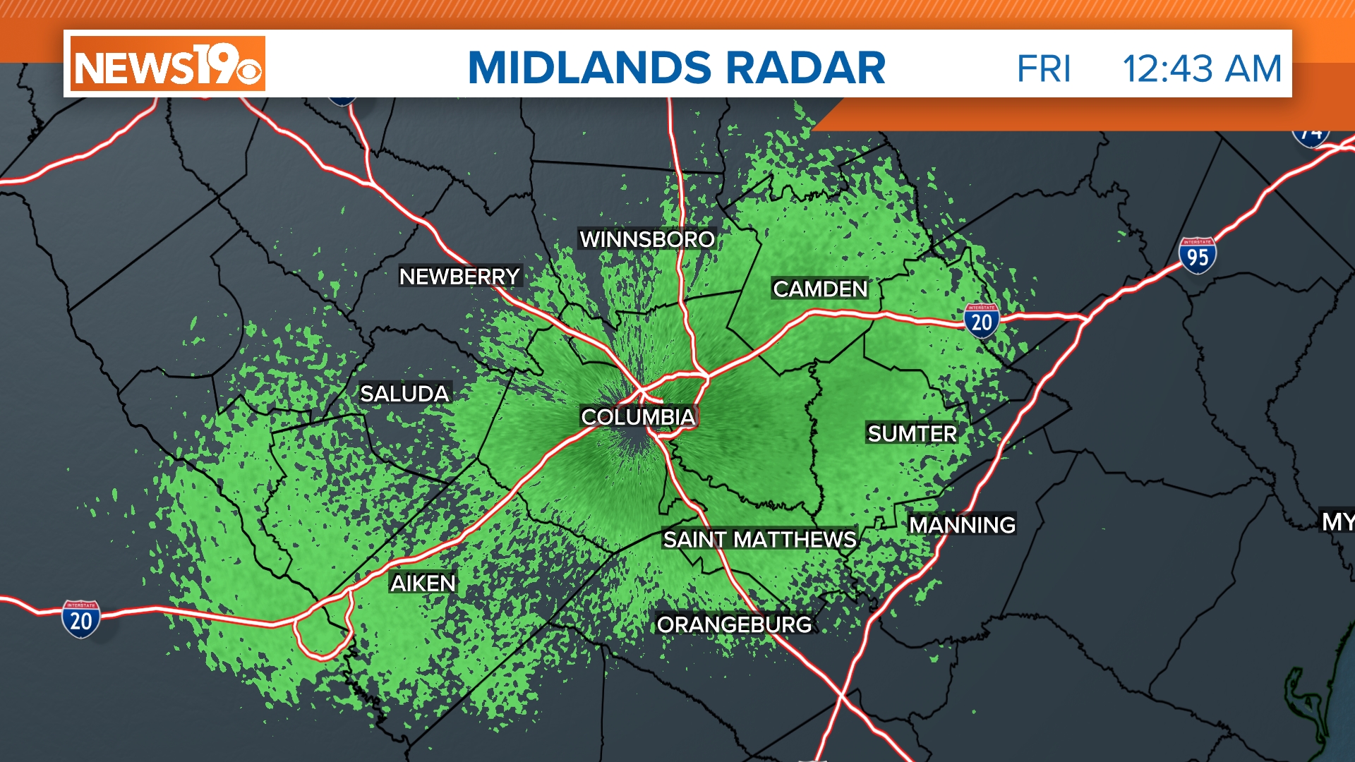
Columbia Radar
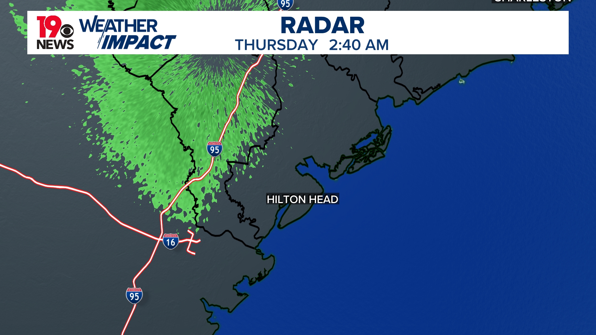
Hilton Head Radar
Charleston Radar
Myrtle Beach Radar
Stay Connected/Download the WLTX App
You can also review the South Carolina Emergency Management Division's checklist for preparation. Again, no need to panic and run out and buy things at the grocery store. But it's just good to go ahead and look at it. There are a ton of good resources there.


