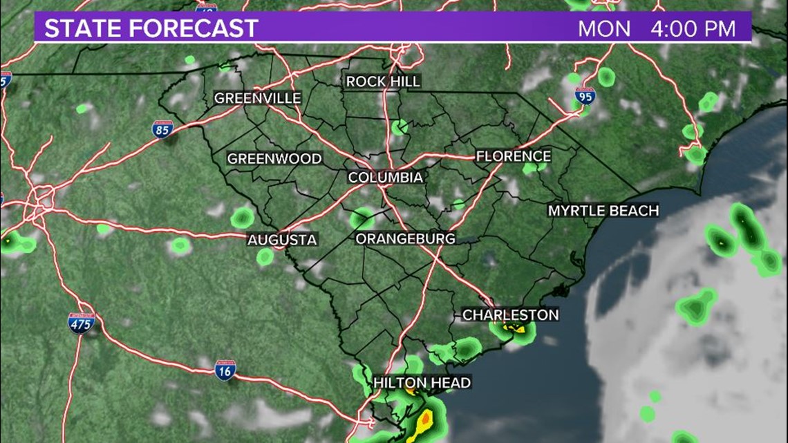
COLUMBIA, S.C. — Parts of the Midlands received lots of rain Sunday afternoon as heavy showers slowly moved through the area. Some flash flooding was reported in several areas. Monday will be mostly sunny and mostly dry; this will allow the area to dry up a little.
Flooding was reported Sunday afternoon in several Midlands counties. Roads were closed in parts of Lexington County due to the heavy rainfall.
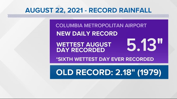
The Columbia airport set a new daily record for rainfall Sunday. The airport reported 5.13" of rain. The old record for August 22 was 2.18" set in 1979.
This also set the record for the wettest August day in Columbia. It is the sixth wettest day ever recorded. Climate records go back to 1887.
The shower activity will diminish tonight. Some fog will form by Monday morning. Lows will be in the lower 70s.
Monday will be hot, humid, and mostly dry. We are expected a lot more sunshine. High temperatures will top out in the lower 90s. Heat index values may climb into the upper 90s to the lower 100° range. There will be a slight chance for an isolated shower or thunderstorm during the heat of the day.


Tuesday will be hot and humid. Highs again will be in the lower 90s. There will be a chance for some rain during the afternoon hours.
Scattered showers and storms are forecast for Wednesday. High temperatures will be close to normal beginning Wednesday. Highs will be in the upper 80s to lower 90s.
Thursday through Sunday will be seasonable. Highs will top out in the upper 80s to lower 90s. Each day there will be a chance for some pop-up showers and storms.
Tracking the Tropics:
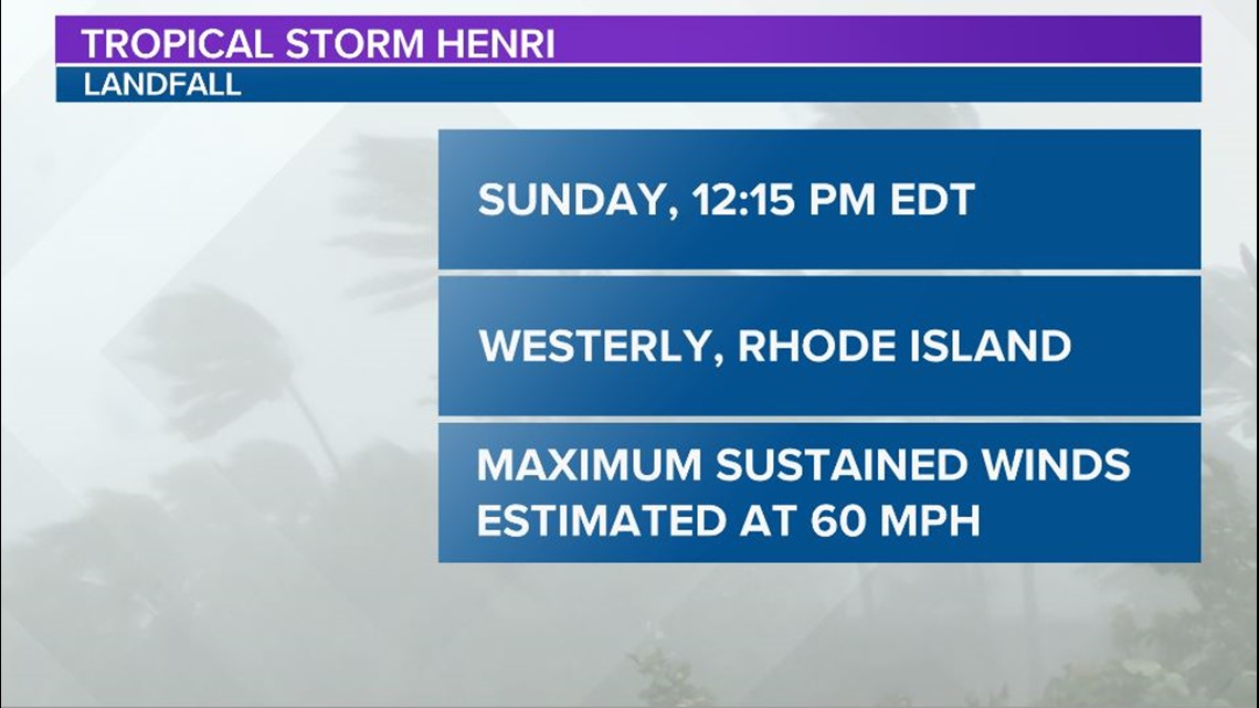
Henri made landfall early Sunday afternoon as a tropical storm. The system made landfall near Westerly, R.I. at 12:15 p.m. Sunday. It had maximum sustained winds estimated at 60 mph.


Heavy rainfall will continue to lead to considerable flash, urban, and small stream flooding, along with the potential for additional minor to isolated moderate river flooding over portions of Long Island, New England, eastern New York, New Jersey, and northeast Pennsylvania.
Elsewhere in the Tropics:
Disorganized shower activity over the eastern tropical Atlantic is associated with a broad area of low pressure southwest of the Cabo Verde Islands.
Little, if any, development is expected to occur during the next couple of days. Some gradual development, however, is possible by mid-week as the system moves northwestward at 10 to 15 mph over the central Atlantic.


