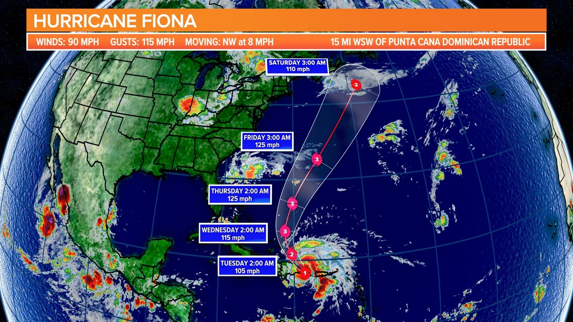
COLUMBIA, S.C. — Hurricane Fiona made its second landfall early Monday morning. The storm is forecast to become the first major hurricane of the 2022 season but stay away from the continental United States.
Fiona made landfall along the southwestern coast of Puerto Rico near Punta Tocon Sunday afternoon. The storm had winds of 85 mph with stronger gusts.
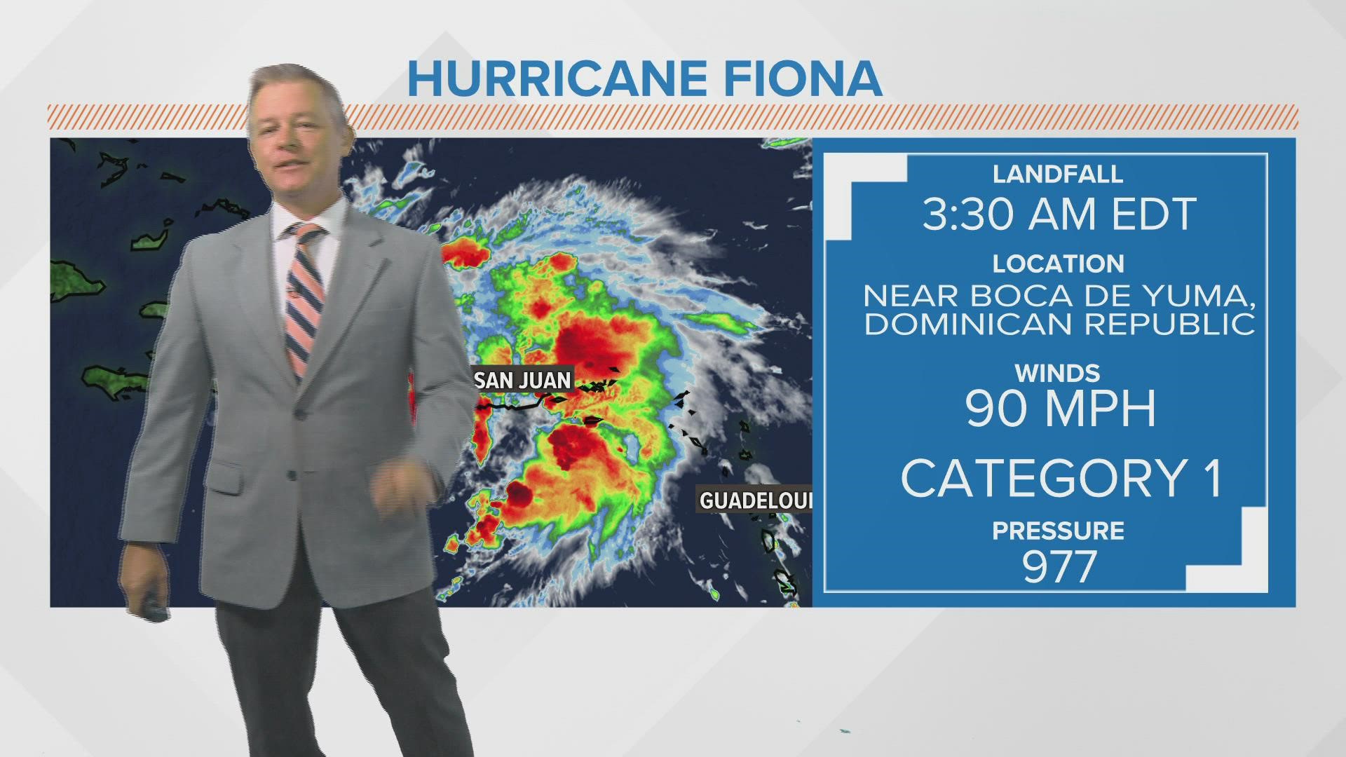
It made its second landfall early Monday along the coast of the Dominican Republic. The eye of Fiona made landfall near Boca de Yuma at 3:30 AM EDT. It had maximum sustained winds of 90 mph at landfall. The Punta Cana International Airport reported a wind gust of 79 mph.


Hurricane Fiona has caused major flooding and mudslides in Puerto Rico. One rain gauge in the Rio Grande de Loiza basin reported nearly 25” of rain according to the U.S. Geological Survey. A rain gauge in the Rio Bucana basin reported over 26” of rain over the last seven days.
Hurricane Fiona struck on the island on the anniversary of Hurricane Hugo. That storm hit Puerto Rico 33 years ago as a Category 3 storm.
Hurricane conditions are spreading across parts of the Dominican Republic. Tropical storm conditions will continue across Puerto Rico through this morning and over portions of the Dominican Republic through tonight.
Heavy rains from the outer bands of Fiona will continue across Puerto Rico into this afternoon. The center of Fiona will persist over the eastern Dominican Republic into this afternoon with heavy bands then lasting through tonight.
These rainfall amounts will continue to produce life-threatening and catastrophic flooding along with mudslides and landslides across Puerto Rico. Life-threatening flash and urban flooding is likely for eastern portions of the Dominican Republic.
Fiona is forecast to strengthen after moving away from Puerto Rico and the Dominican Republic. Hurricane conditions are forecast for the Turks and Caicos on Tuesday, and tropical storm conditions are expected in the southeastern Bahamas by late Monday or early Tuesday.

