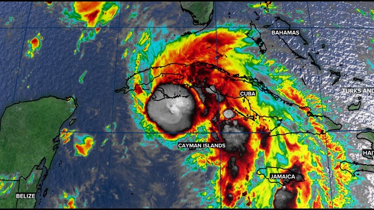
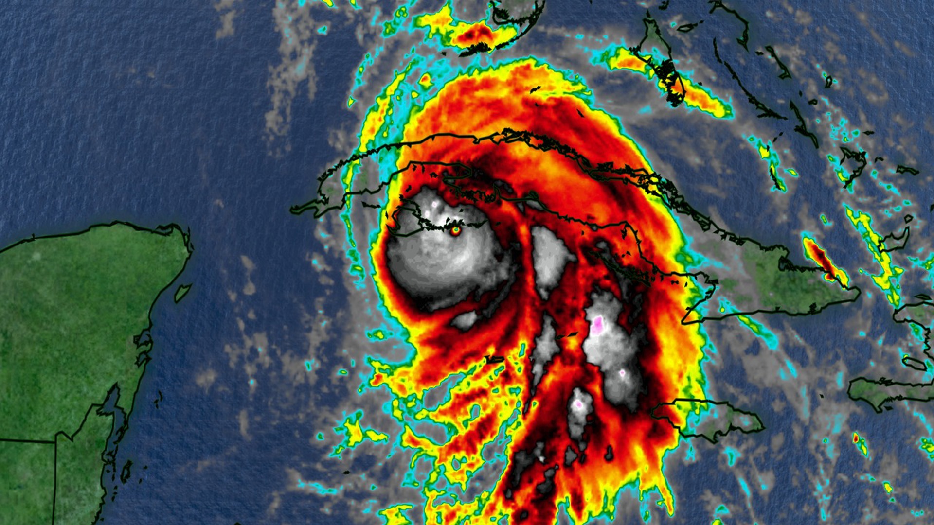
COLUMBIA, S.C. — Forecasters say Ida has become a hurricane and made landfall in Cuba. They say it could grow rapidly into a major Category 3 hurricane with top winds of 120 mph when it nears the U.S. coast.
Maximum sustained winds are at 75 mph. Tropical storm force winds extend outward up to 90 miles from the center. The storm was moving northwest at 15 mph.
There are some model timing differences, but they are in good agreement that Ida will make landfall in Louisiana late Sunday or early Monday.
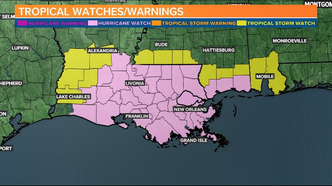
A storm surge watch is in effect for Sabine Pass, Texas to the Alabama/Florida border. A hurricane watch is in effect for Cameron, La. to the Mississippi/Alabama border. A tropical storm watch is in effect for the Mississippi/Alabama border to the Alabama/Florida border.
There is an increasing risk of life-threatening storm surge inundation along the coasts of Louisiana, Mississippi, and Alabama, where a storm surge watch is in effect. Interests in these areas should follow any advice given by local officials.
New Orleans Mayor Latoya Cantrell has said everyone who lives or works outside the city’s levee protection system should evacuate. Gov. John Bel Edwards has declared an emergency for all of Louisiana.
RELATED: Local Forecast
There is an increasing risk of dangerous hurricane-force winds beginning Sunday along the portions of the coasts of Louisiana and Mississippi, including metropolitan New Orleans, where a hurricane watch is in effect.
Ida is also expected to produce heavy rains across the central Gulf Coast from southeast Louisiana to coastal Mississippi, Alabama, as well as the Lower Mississippi Valley starting Sunday into Monday, resulting in considerable flash, urban, small stream, and riverine flooding.


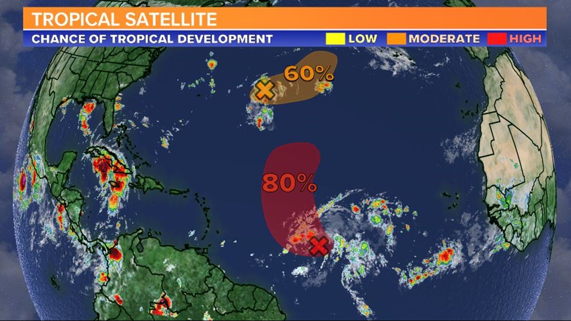
An area of low pressure located over the central Atlantic about 650 miles east of Bermuda is producing disorganized showers and thunderstorms. Environmental conditions are only forecast to be marginally conducive for development, but a tropical depression could still form over the weekend.
The system is expected to move slowly eastward during the next day or two, but a faster northeast motion is expected to begin on Sunday.
A tropical wave located about midway between the Cabo Verde Islands and the Lesser Antilles continues to produce a large area of disorganized showers and thunderstorms.


Gradual development of this system is expected, and a tropical depression is likely to form during the next couple of days.
The disturbance is forecast to move west-northwest for another day or so and then turn northward over the weekend.


