COLUMBIA, S.C. — Just when it looked like hurricane season was over, we have another system we will be tracking all week. Subtropical Storm Nicole looks like it will impact our weather towards the end of the workweek. In the short term, it will be dry with temperatures gradually cooling.
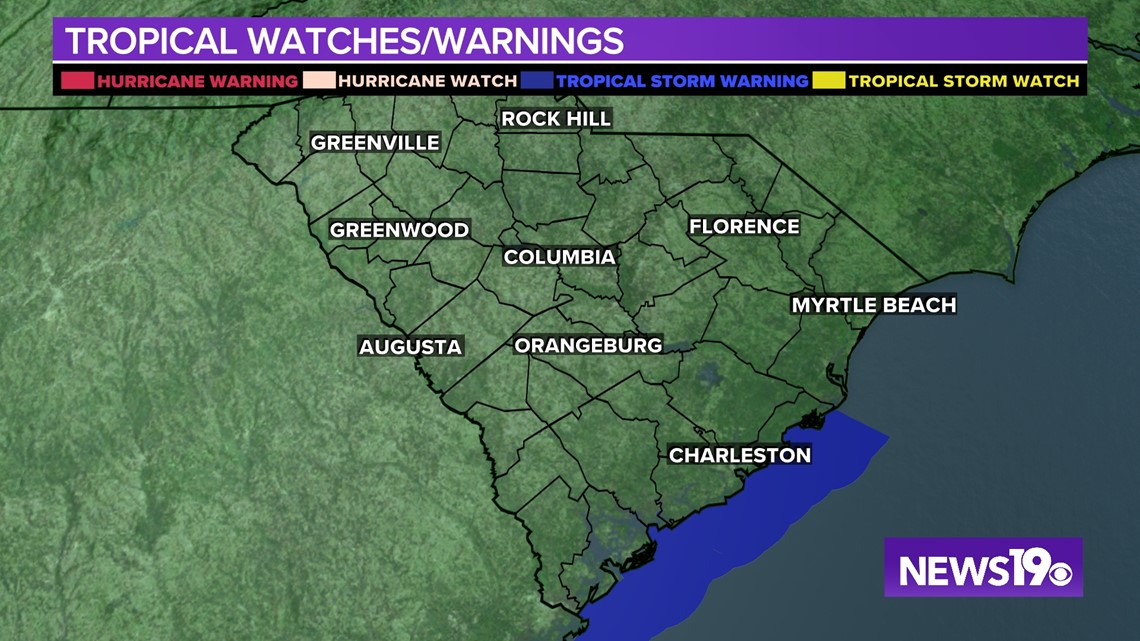
Tropical Storm Warnings have been issued along the South Carolina coast until further notice. This includes Beaufort, Colleton, and Charleston counties. Nicole is expected to bring windy conditions to the state later on in the week.


It was a warm and overcast weekend. Highs were in the upper 70s to lower 80s for most of the Midlands. A good portion of the area got some much-need rainfall. The Columbia airport reported 0.33” of rain Sunday.
Skies will be mostly sunny today. It will be another warm day with highs climbing into the lower 80s this afternoon.
A backdoor front will move through the area tonight. A few clouds will be possible. Temperatures will be a little cooler Tuesday morning. Lows will be in the upper 50s to near 60 degrees. Tuesday will be a little cooler than today.
A reinforcing shot of cool air will move into the area Wednesday. Lows will drop into the middle 40s. Highs will be in the middle 60s under mostly sunny skies Wednesday afternoon.
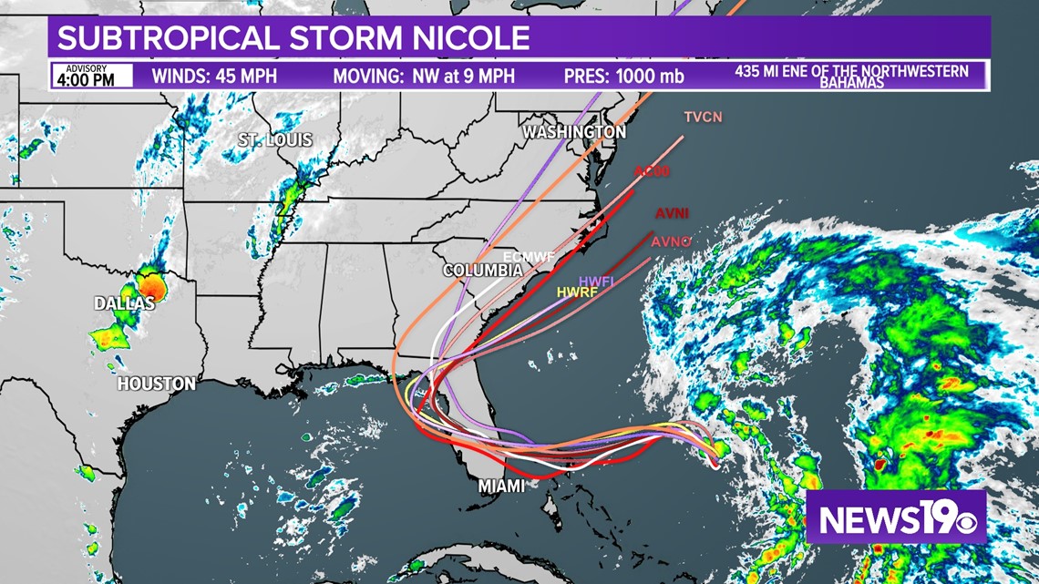
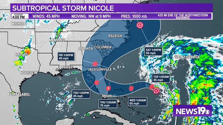
The clouds will start to increase Thursday as Nicole moves towards Florida. Nicole is forecast to be a large storm, and regardless of its exact path, widespread impacts are expected. Coastal flooding, tropical-storm-force winds, heavy rainfall, rough surf and rip currents, and beach erosion are likely along much of the southeastern coast.
Nicole could be near hurricane strength when it moves near the northwestern Bahamas and the east coast of Florida Wednesday and Thursday, bringing the potential for a dangerous storm surge, damaging winds, and heavy rainfall to parts of those areas.


Heavy rainfall appears to be the greatest threat for the Midlands as Nicole moves north, but the specifics will depend on the speed and strength of the storm. A slower track would likely produce more rain. A faster track would likely produce less rainfall for the Midlands.
Drier air will filter into the area for the weekend and temperatures will likely be below normal.


