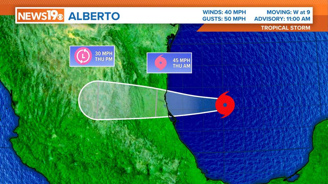
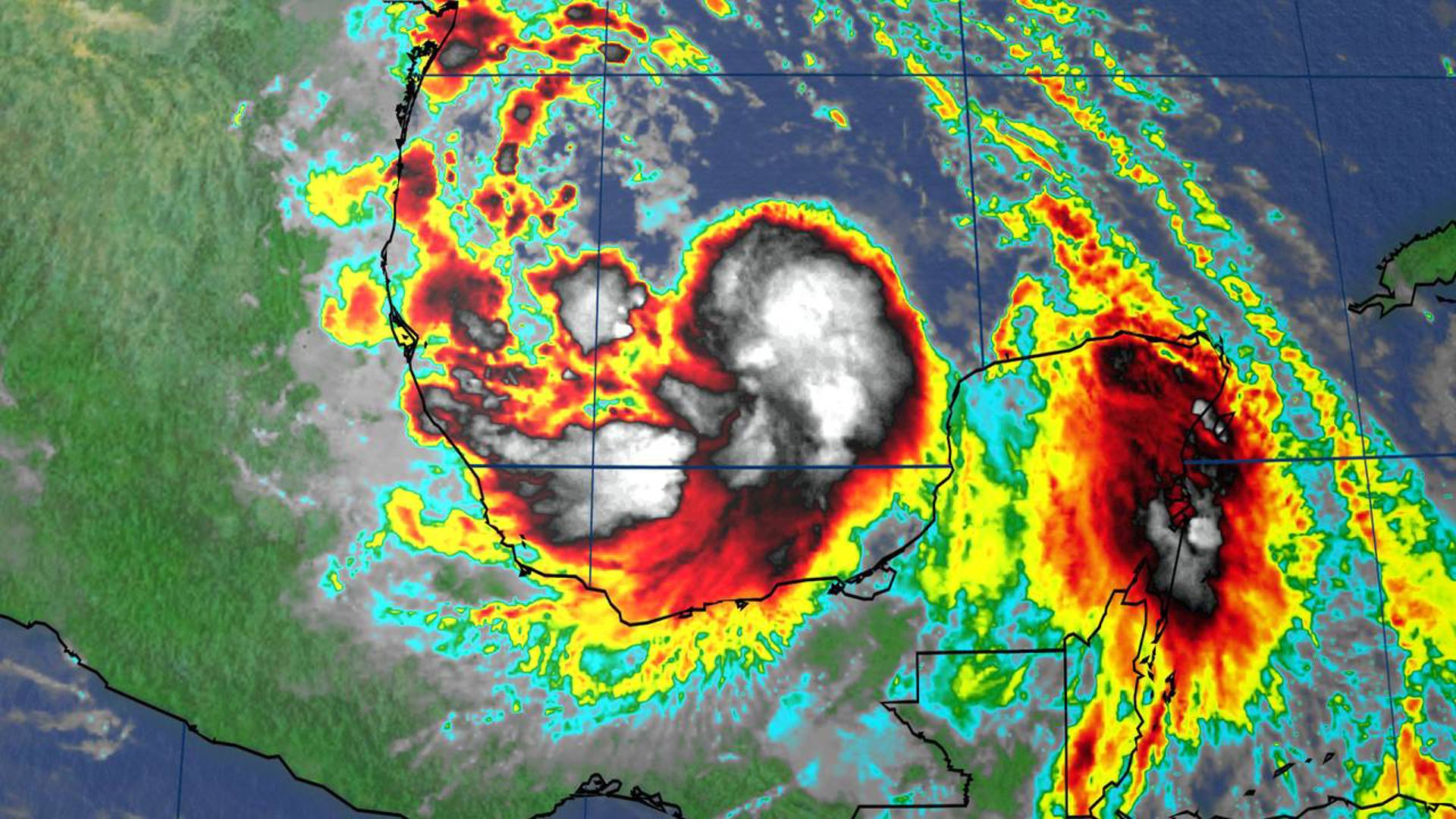
COLUMBIA, S.C. — The first named storm of the 2024 Atlantic hurricane season has formed. Tropical Storm Alberto officially became a named storm earlier Wednesday.
The storm was moving west at 9 mph. It had maximum sustained winds of 40 mph. Heavy rainfall, coastal flooding, and gusty wind are expected to impact the coasts of Texas and northeastern Mexico through Thursday.
The storm was located about 295 miles south-southeast of Brownsville, TX.
A tropical storm warning is in effect for the Texas coast, from San Luis Pass to the mouth of the Rio Grande to Tecolutla.
A tropical storm warning means that tropical storm conditions are expected in the warning area. Once Alberto makes landfall, late tonight or early Thursday, it will weaken rapidly.


Tropical Storm Alberto is a large storm, with tropical-storm-force winds extending outward up to 415 miles.
Regardless of its exact path, the storm is expected to bring heavy rains, moderate coastal flooding, and tropical-storm-force winds to a large area. Notably, the northern side of the storm will have unusually strong winds that could extend well beyond the storm's center.
Key Messages:
- Broad Impact Area: Do not focus solely on the storm's exact track. Heavy rain, coastal flooding, and wind impacts will affect regions far from the storm's center, including parts of Texas and northeastern Mexico.
- Heavy Rainfall: The storm will bring significant rainfall to Central America, northeastern Mexico, and South Texas. This could lead to flash floods, urban flooding, and river flooding. Life-threatening flooding and mudslides are possible in higher-terrain areas of Mexico, particularly in the states of Coahuila, Nuevo Leon, and Tamaulipas, including cities like Monterrey and Ciudad Victoria.
- Coastal Flooding: Moderate coastal flooding is expected along much of the Texas coast through midweek.
- Tropical Storm Conditions: Tropical storm conditions are expected today along parts of the Texas coast south of San Luis Pass and along portions of the northeastern coast of Mexico within the Tropical Storm Warning area.

