COLUMBIA, S.C. — Tropical Storm Danielle continues to get stronger. The storm became the first hurricane of the 2022 Atlantic season late Friday morning. There are two other areas in the tropics being tracked by the National Hurricane Center, but none of the systems in the Atlantic pose a threat to any landmasses right now.
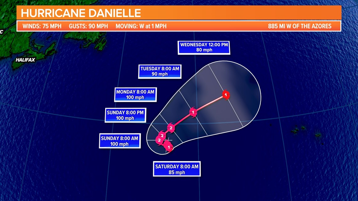
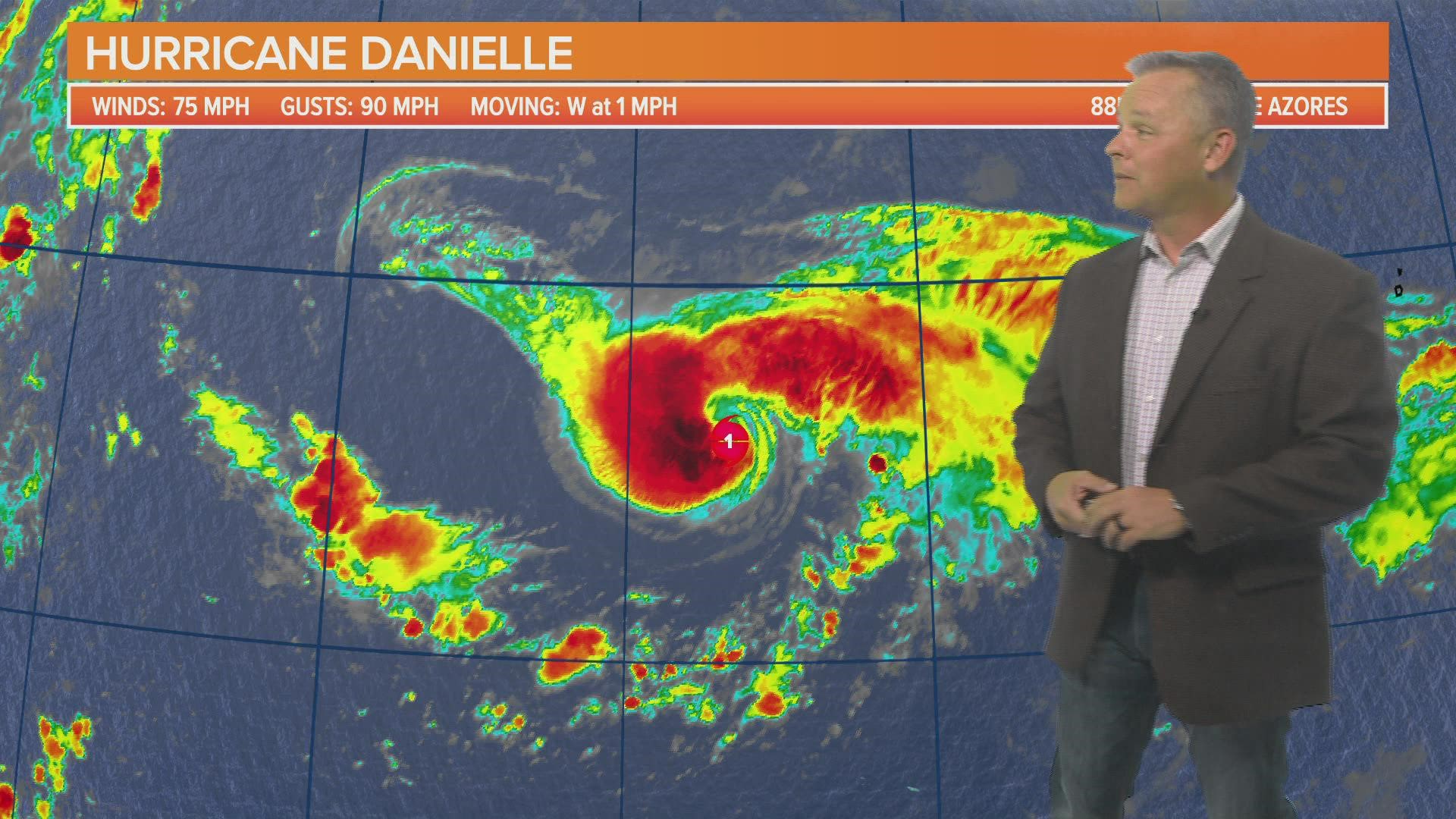
Satellite images show Danielle has continued to strengthen. The storm had winds of 75 mph along with stronger gusts. It was moving east very slowly.
The hurricane is forecast to meander over the open Atlantic during the next couple of days, then slowly turn northeast early next week.
Hurricane-force winds extend up to 15 miles from the center of the storm. Tropical-storm-force winds extend outward up to 115 miles from the center.
There are no coastal watches or warnings in association with Danielle.


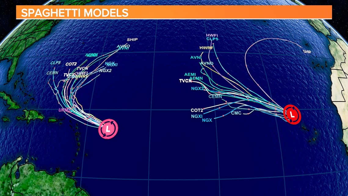
There are two other areas being monitored by the NHC. The first is east of the Leeward Islands. Even though conditions are only marginally conducive, any additional development of the system over the next few days could lead to the formation of a tropical depression.


The disturbance is expected to move west-northwest slowly, toward the adjacent waters of the northern Leeward Islands. Regardless of development, locally heavy rains may occur over portions of the Leeward Islands during the next couple of days. Interests in that area should monitor the progress of this low.
An Air Force Reserve Hurricane Hunter aircraft is scheduled to investigate the system this afternoon, if necessary.
The other low pressure system is farther to the east. It is located northwest of the Cabo Verde Islands. Even though showers have increased with this system, significant development is not expected.

