COLUMBIA, S.C. — This past weekend you would have been very lucky to get a peak at the sky above. Clouds covered the region for days straight along with multiple rounds of rain. Temperatures remained cool thanks to the plentiful cloud cover.
This is in stark contrast to our historical weather which shows the period of late May through Mid July as our typically sunniest part of the year.

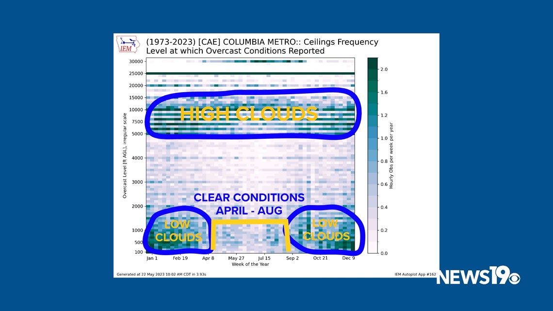
Let’s address how clouds form. Air moves around due to temperature changes and can cause a certain level of the atmosphere to become saturated. This creates clouds.
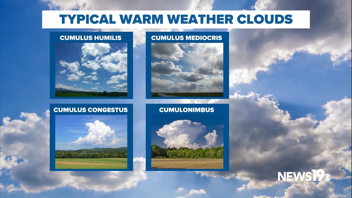
In the warmer months we are in now these look like puffy clouds that mix in with plenty of sunshine known as Cumulus clouds and can even lead to Cumulonimbus clouds which are thunderstorms.

Instead, we have had much greyer conditions with layers of stratus and cirrus covering our skies more often than not.

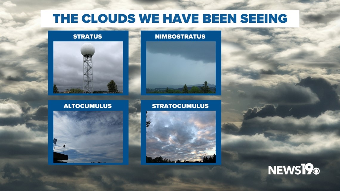
A cold front that stalled in the area along with what we refer to as the Carolina Wedge provided northeast flow and is continuing to do so this week. This led to a very cloudy pattern along with some rain.

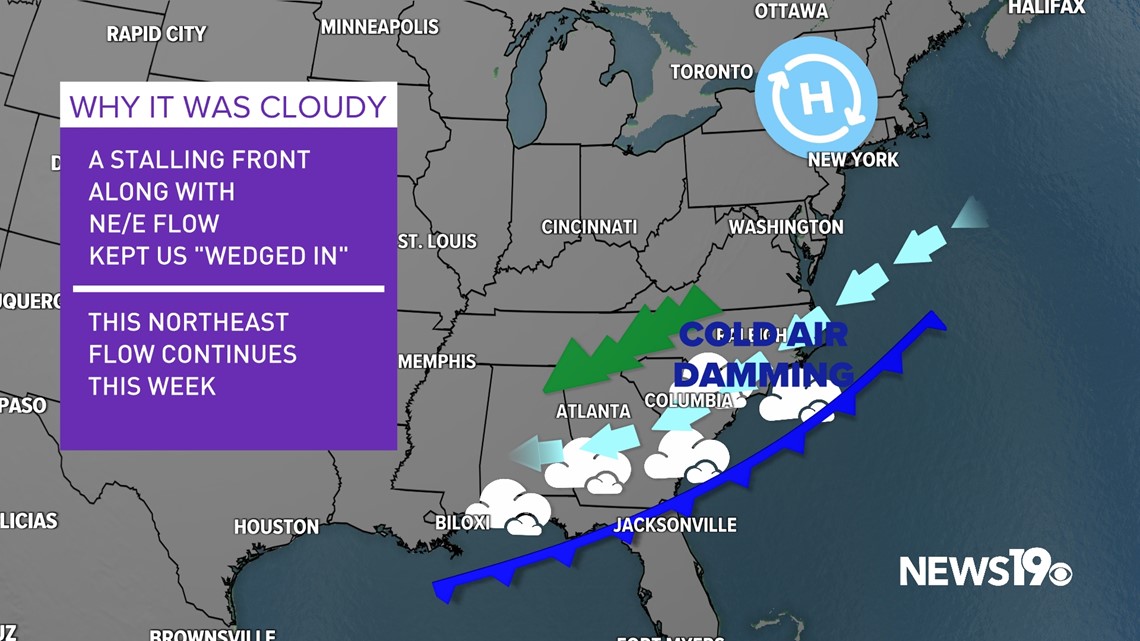
Going forward we are likely to remain wetter, especially along the coast with winds out of the northeast. Temperatures during this period look to remain below average with some daytime highs close to 10 degrees below average for this time of the year. Around midweek, dewpoints are expected to drop into the 40s which means there should be some sunshine on the horizon in a few days.

