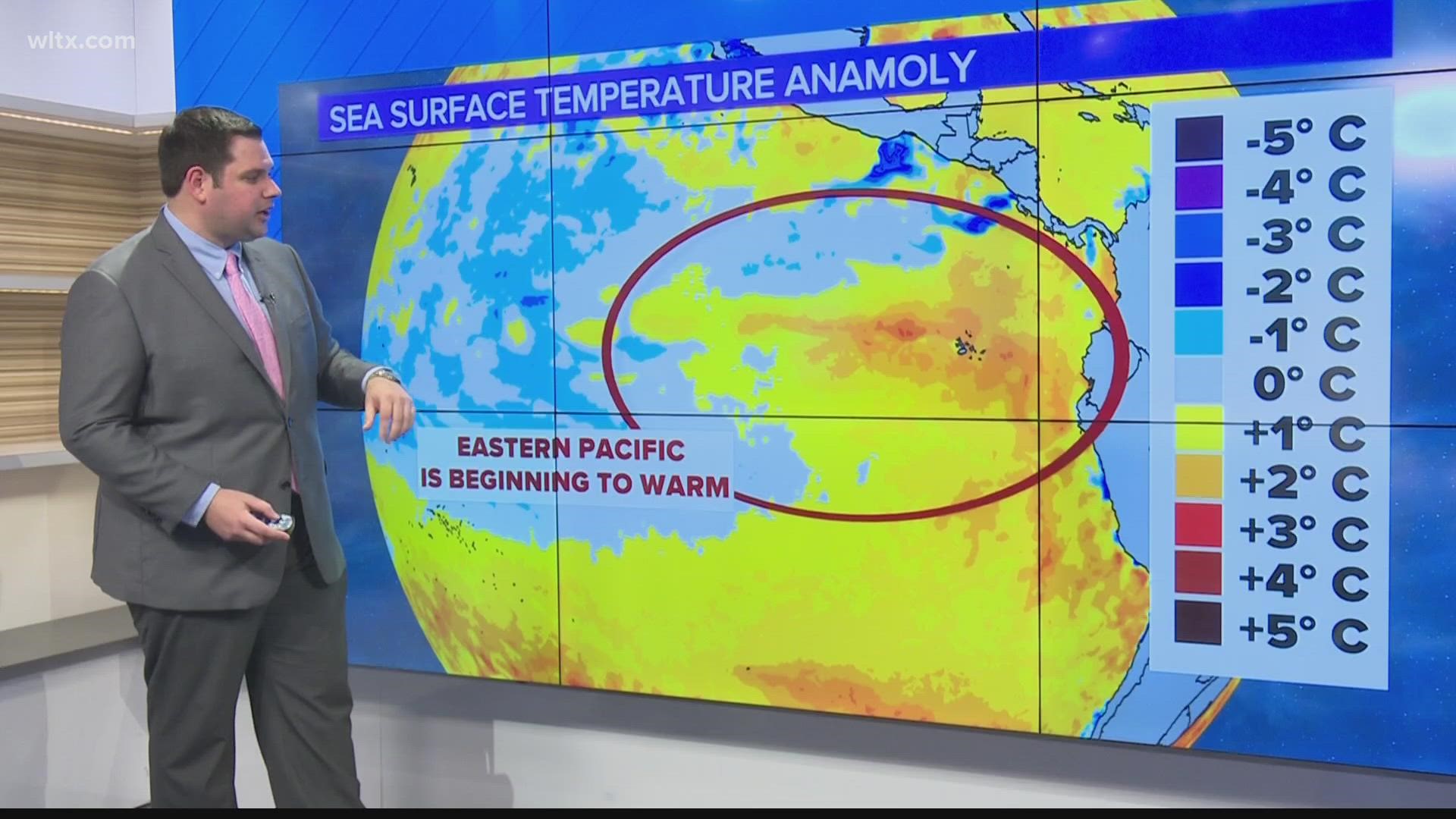
COLUMBIA, S.C. — Last month NOAA put out the forecast that La Nina, which is the cooler ocean pattern we have been in is likely coming to an end in the near future. Since then observations have shown we are under that transition now and the predictions for the future have become much more clear.
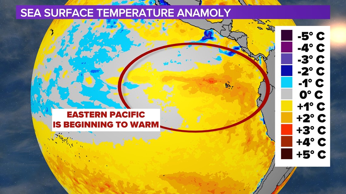
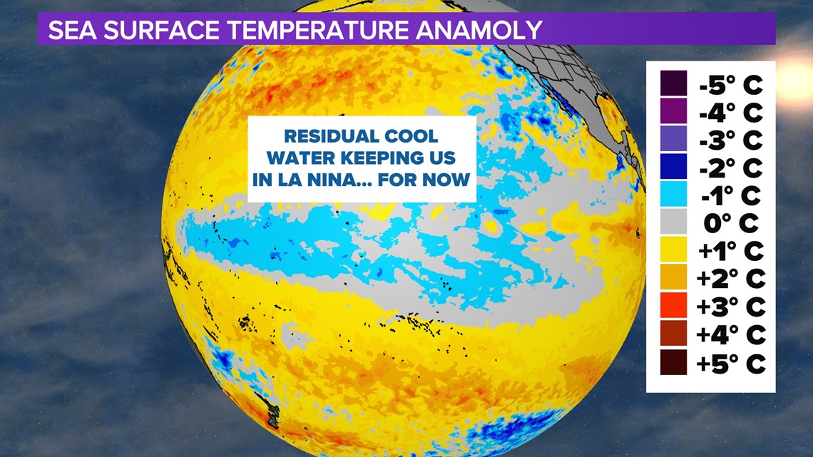
Sea surface temperatures have changed drastically even over the last month. What used to be near-average conditions off the South American coast are now running nearly 1 to 2 degrees Celsius above average as seen by all of the oranges and yellows. The only reason we remain in a La Nina pattern by definition is the residual cold pool that still exists in the Equatorial- central Pacific.


With this change happening in real-time NOAA has become a lot more confident in their forecast showing that neutral conditions will likely start within the next month before El Nino Arrives. With there now being a 60% chance we head right into El Nino by the second half of the summer.

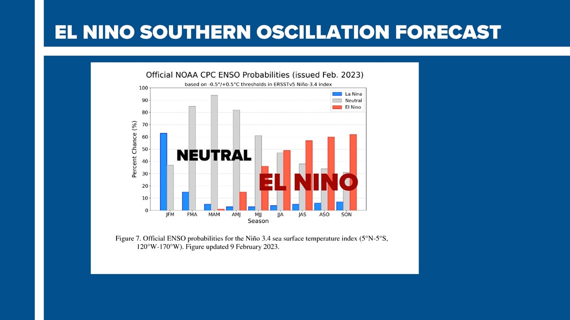
This spring will be the first time in 4 years we will not see La Nina or El Nino conditions. Long-range models have been showing typical variability but with an increasing trend of warmer conditions being prominent.

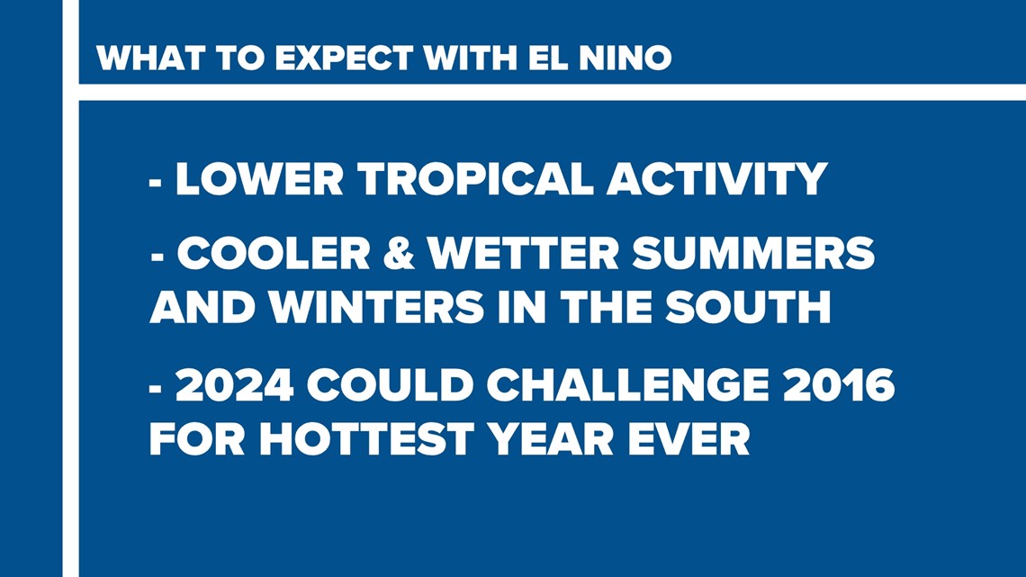
Past the Spring, El Nino typically leads to lower tropical activity in the Atlantic with cooler and wetter summers and winters across the southeast. The biggest concern though with the return of El Nino is that as early as 2024 we could be challenging 2016 for the warmest year on record.
According to NOAA, 3 of the top 4 hottest years globally on record were El Nino years with all of them occurring in the past 10 years.
Of course, all of these things will be a bit more clear as we get later into this year.

