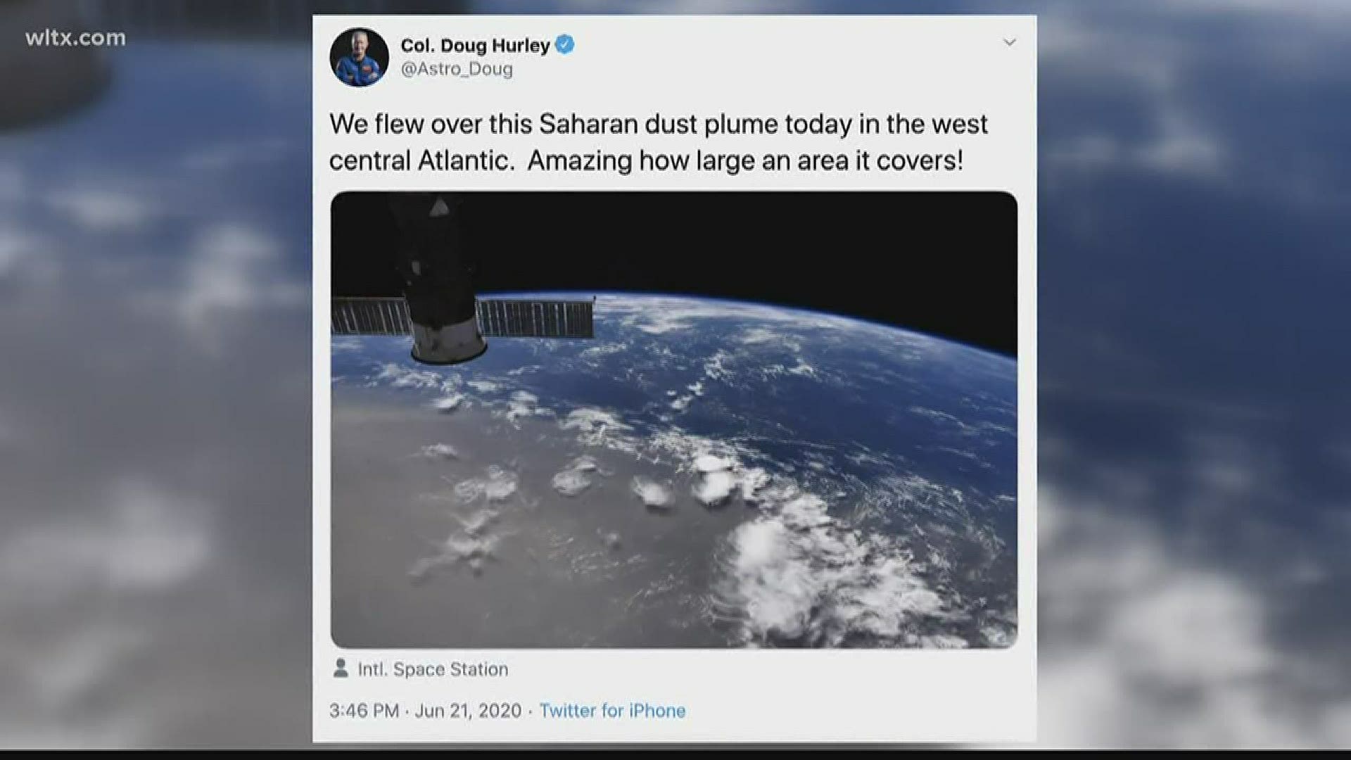
COLUMBIA, S.C. — A plume of dust from the Sahara Desert has traveled across the Atlantic and is forecast to move over the Southeast at the end of this week.
The area of dust, also known as the Saharan Air Layer or SAL, is a widespread area of dust particles that helps suppress tropical activity in the Atlantic.
The Saharan Air Layer is an extremely dry air mass. In some cases, the air is 50 percent drier than normal tropical air. This, alongside strong winds and warm dusty air, helps to suppress the formation of tropical storms in the summer.
Not only does the dust inhibit tropical activity, but it also helps build beaches in the Caribbean and fertilizes soil in the Amazon, according to NASA.
The occurrence of dust plumes moving across the Atlantic is not uncommon. Areas of dust often cross the waters every few days during the summer.
According to NASA, each year hundreds of millions of tons of dust are picked up from the deserts in Africa and travel across the Atlantic Ocean.
The plume of dust currently in the Caribbean is one of the thickest plumes that have been seen.
NASA Astronaut Doug Hurley was even able to see the plume from the International Space Station as it exited off the coast of Africa earlier this week.
Reduced visibility and diminished air quality have both been reported in Puerto Rico this week.
This dust is expected to move into the Southeast later this week and over the weekend.
Across the Midlands, skies will be a bit hazy over the weekend. Sunrises and sunsets could also be more vibrant, as the dust scatters sunlight in different ways.
No matter if we see a lot of dust or not, it will still be a famously hot weekend in South Carolina.
RELATED: Local Forecast

