COLUMBIA, S.C. — The polar vortex is bringing historically cold temperatures and rounds of wintry weather to the central United States. However, here in South Carolina, we've been getting hit with rounds of rain.
This volatile weather pattern can all be attributed to the polar vortex. But what is the vortex?
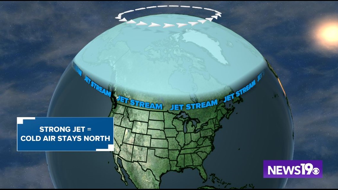
The polar vortex is a large area of low pressure with cold air that is always at both the north and south pole. When the vortex and jet stream are strong, the cold air stays north with the vortex.


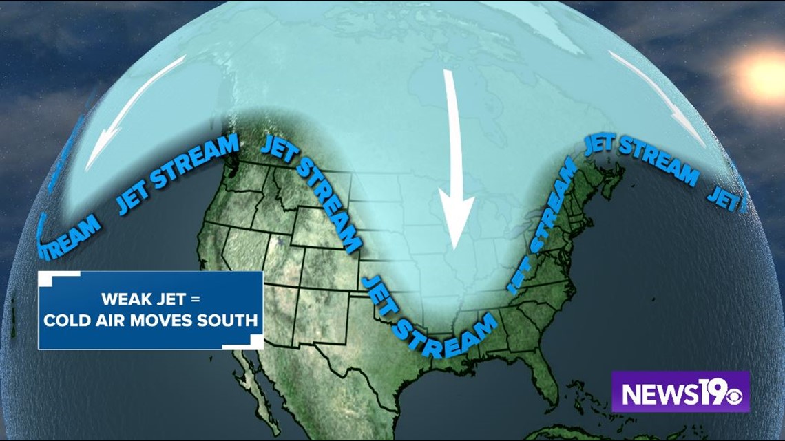
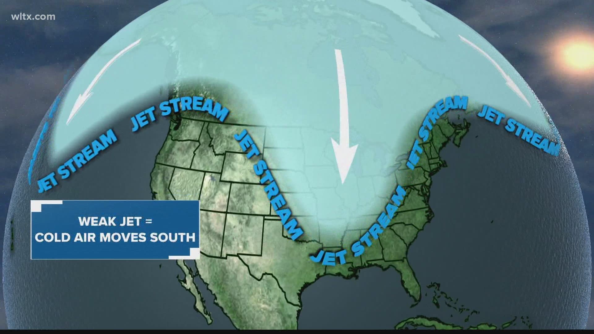
However, during the winter, the vortex can weaken and pieces of Arctic air can dive south with the jet stream. Wherever that dip, or trough in meteorology, goes is where the coldest air will be.


This also sets up an active weather pattern along the jet stream. To the north side of the jet stream storms bring snow and ice, meanwhile on the southern side, like where we live in South Carolina, we get hit with multiple rounds of rain.
Many people have wondered why we have not seen any of this cold air in South Carolina. The answer to this question comes by taking another look at the upper atmosphere.
Surrounding the area of low pressure in the central US are two areas of high pressure in the Pacific and southeastern Atlantic. These two areas of high pressure essentially block the Arctic air in the center of the country, keeping the cold away from South Carolina. Currently, it does not look like the Arctic air will reach the Southeast.


