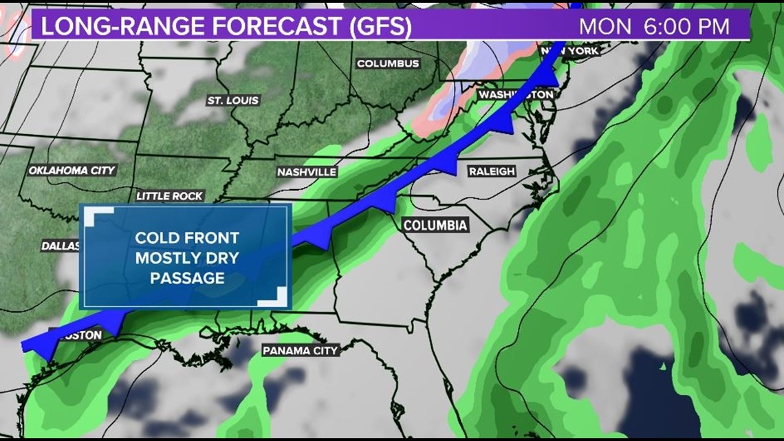
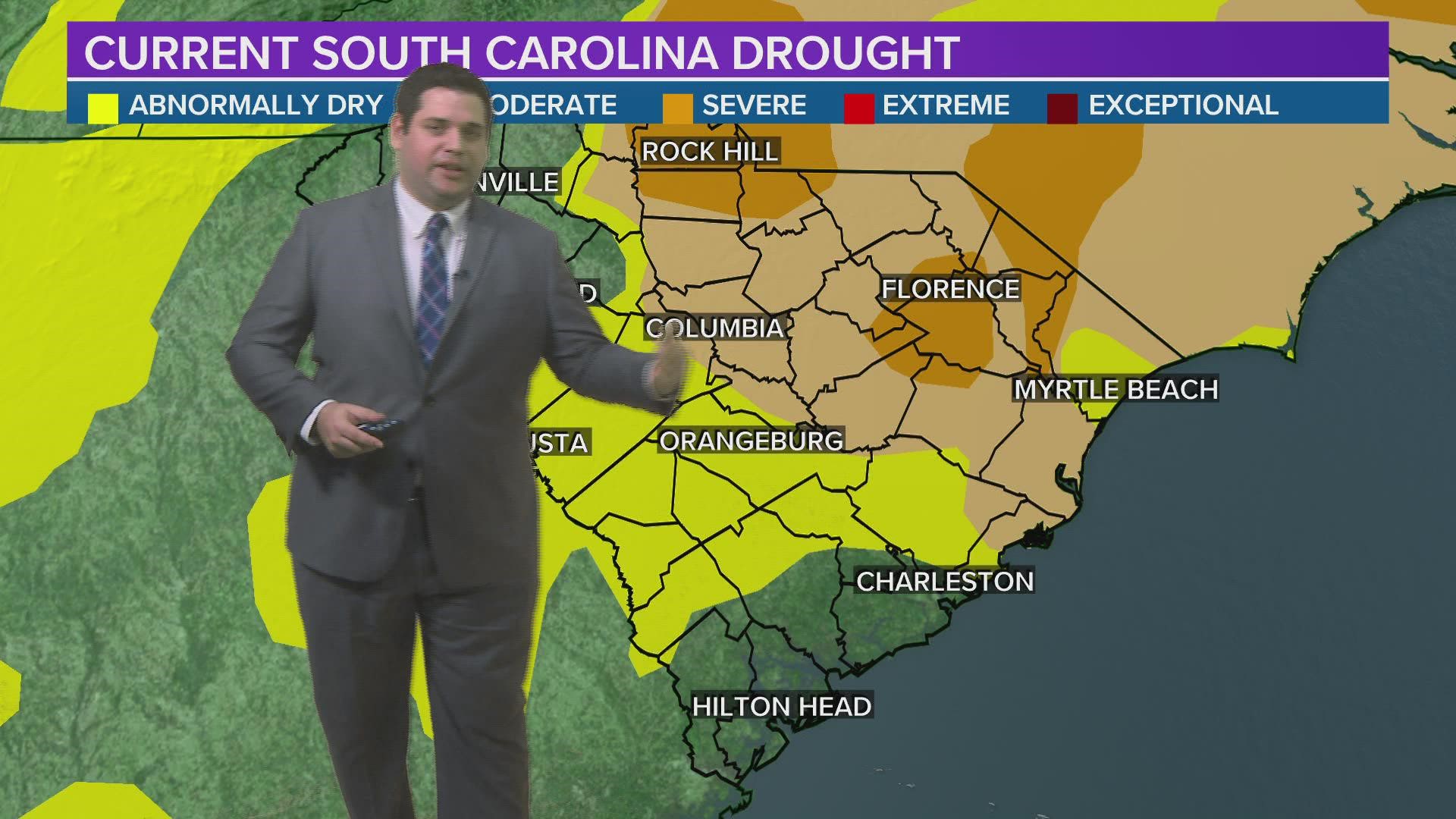
COLUMBIA, S.C. — Most of the Midlands are in desperate need of rain. Drought conditions have begun to spread over the past few weeks on top of the driest Novembers on record for Columbia. As we look towards next week there is our first good chance of rain but lets break down what we can expect.
Let's start on Tuesday. We are expecting a strong high across the Northeast and that means the return of cold air damming. Temperatures will likely be held into the upper 50s making for quite a chilly day across the region.


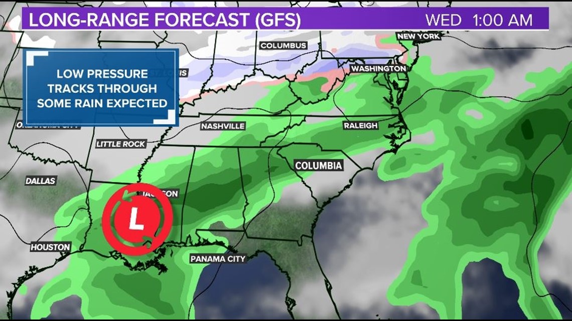
Meanwhile, towards the Gulf Coast we will likely see an area of low pressure forming along an old frontal boundary. As the low moves to the northeast, that moisture will help provide us with the "classic" wedge conditions on Tuesday. Light showers, plenty of clouds, and some drizzle are all likely at this point.


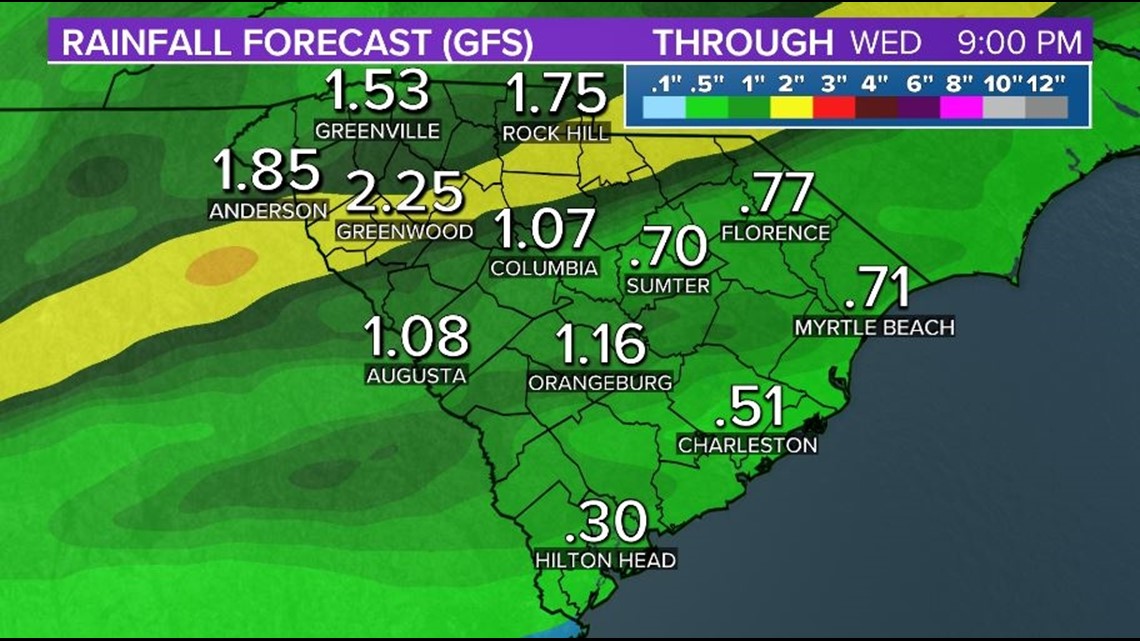
As we go into Wednesday, this low pressure will start to track into the region providing the chance for some more widespread rain for the middle of the week. Unfortunately, rain chances have really backed off on the latest model guidance to the point we are only expecting around .5-1" of rain this upcoming week. While any rain is welcome, this event will not help us get out of drought.


Looking towards the end of the week, some isolated showers are possible but high pressure quickly returns as we go into the weekend. Warm and dry conditions will return through at least Saturday.
RELATED: Local Forecast

