

COLUMBIA, S.C. — The state is in for a wet spell today, with rain expected to persist into tonight. As we head into Saturday, the forecast calls for cloudy skies with diminishing chances of rain as the cold-air wedge weakens. But do not pack away your umbrellas just yet—this weekend marks the start of a warming trend as a high-pressure system moves in.
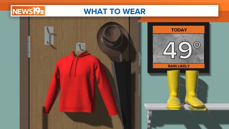
Expect the rain to intensify today, particularly as it encounters dry air, which will reinforce the cold-air wedge. This means we can anticipate steady temperatures throughout the day, hovering in the 40s for most areas. However, some eastern regions closer to I-95 might see temperatures creep into the 50s. The heaviest rain is likely to fall from midday into the afternoon, with totals averaging around 1 inch, though some spots could see a bit more.

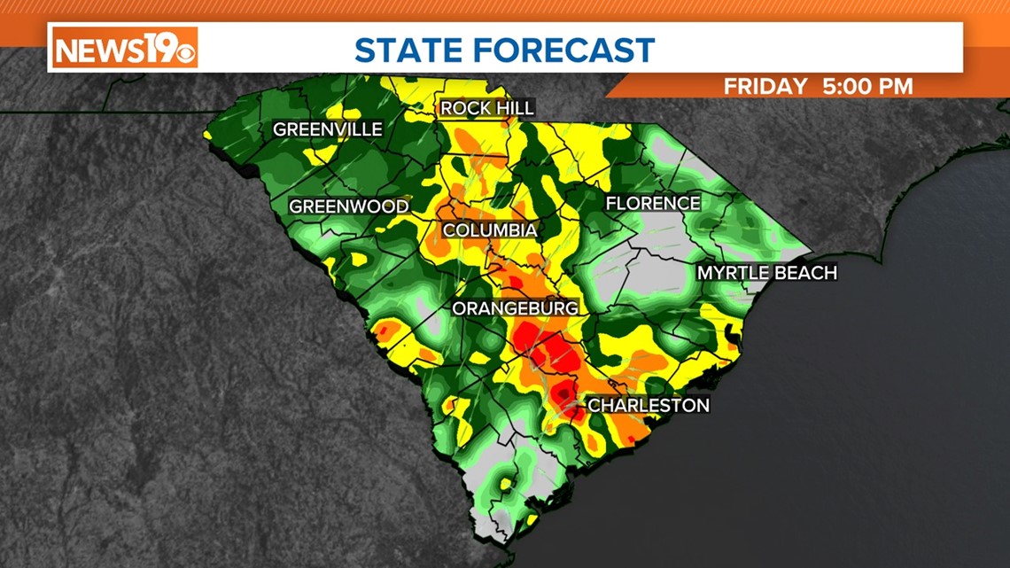
While isolated thunderstorms are possible, the likelihood is low, and severe weather is not expected. Rain rates should ease off into the evening as moisture shifts northward, but light rain or drizzle may persist overnight, maintaining the overcast skies and cool temperatures.
Saturday morning might bring a few stray showers, but overall, it is shaping up to be a drier day. Cloud cover will persist through the weekend, though, with temperatures reaching the mid-60s on Saturday, closer to seasonal norms.

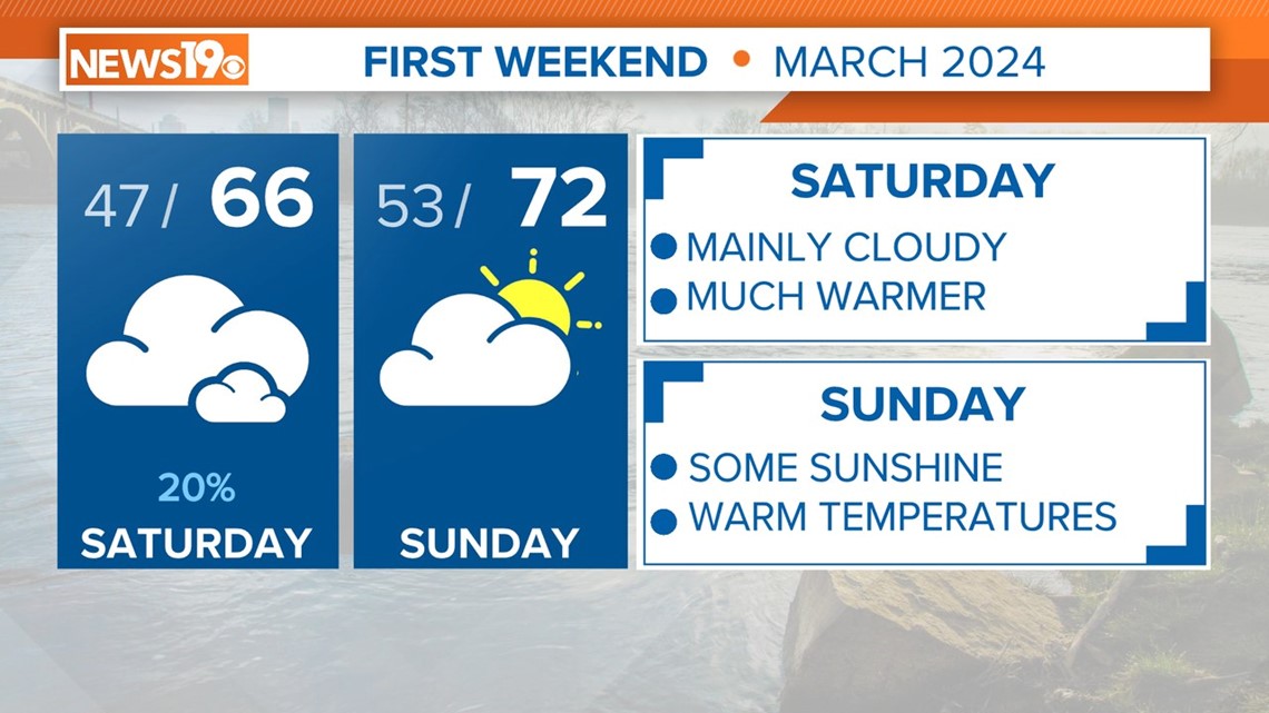
Sunday is looking brighter, both figuratively and literally, as high pressure settles in, bringing partial clearing and warmer temperatures in the lower 70s. Monday is expected to stay dry under partly cloudy skies, but keep an eye out for the next storm system brewing in the central United States, which could impact us midweek.
