COLUMBIA, S.C. — Scattered showers and storms are expected to develop this afternoon and this evening. It will be another hot day before the rain moves in. Thursday and Friday will be hot and mostly dry. More showers and storms are forecast for Saturday. High pressure will build in for the second half of the weekend. Temperatures will be warming up next week.
There were a few isolated showers and storms Tuesday afternoon, but most of us did not get any rain. Highs were in the upper 80s to lower 90s. The Columbia airport hit 90 degrees. This morning was mild with lows mainly in the lower 70s.

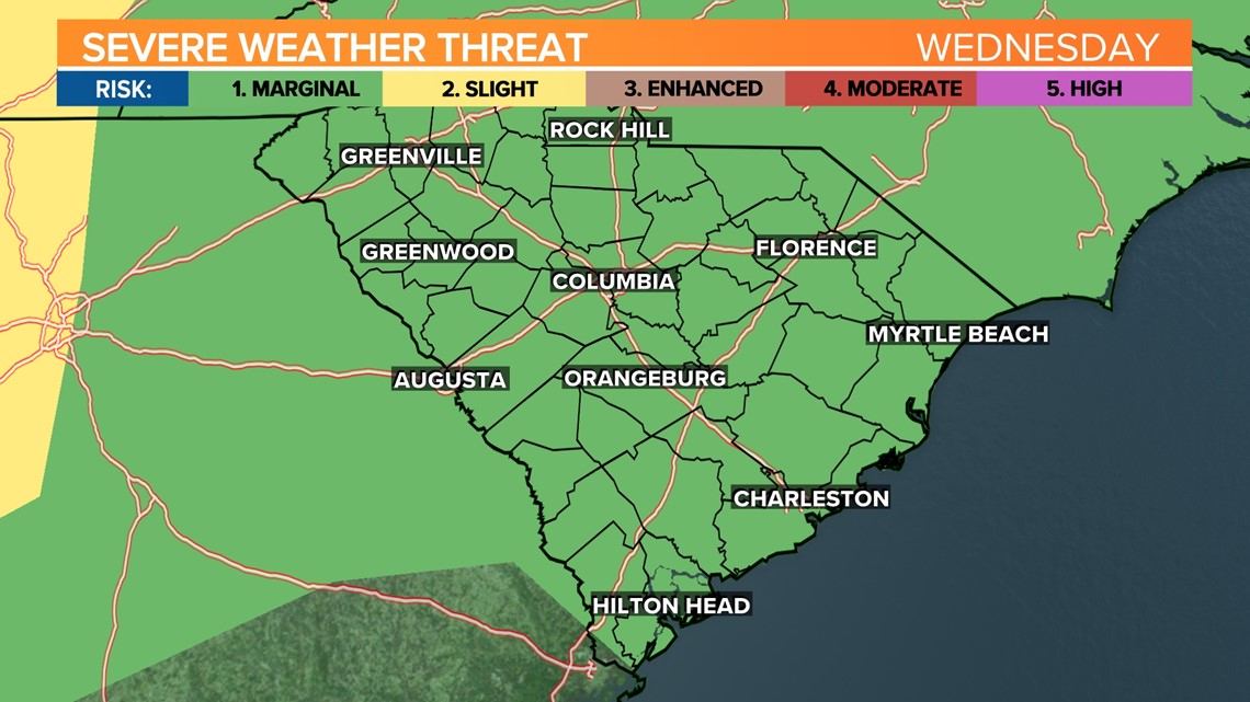
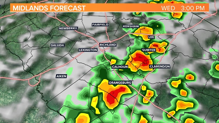
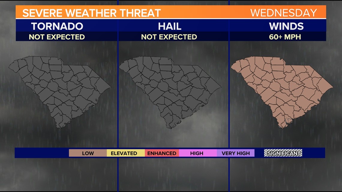
Storms are forecast to form this afternoon. The Storm Prediction Center does have the Midlands under a marginal risk of severe weather today. This is the lowest risk level. This is issued when strong to borderline severe storms are possible.
Thunderstorms are expected to be limited in organization and only last a short time with a marginal risk level. If a severe thunderstorm were to develop Wednesday, the greatest threat would be damaging wind gusts. Some heavy rainfall will be possible too.

High temperatures today will be in the lower 90s again. A stray shower or storm will be possible early Thursday. Highs will be in middle 90s.
Friday will be hot and dry. High temperatures will return to the middle 90s, but it will be a little cooler Saturday with some rain possible.
High pressure will build in for the second half of the weekend. Temperatures will be climbing next week. Highs may reach the upper 90s to possibly the triple digits.

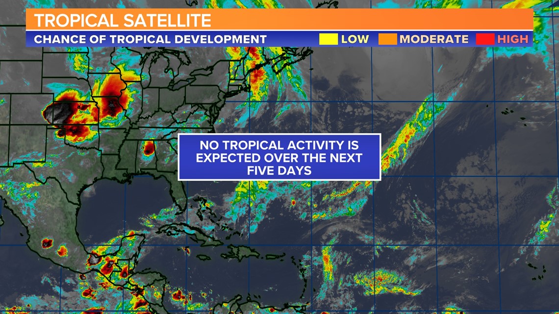
Tracking the Tropics:
No tropical activity is expected over the next five days.