COLUMBIA, S.C. — The weather is going to stay warmer than usual through the weekend. Today, there will be more moisture in the air, which will lead to scattered showers and thunderstorms ahead of a cold front moving in. The front may hang around the region over the weekend, bringing more rain, especially in the southern part of the state. Next week, expect cooler and drier weather, with Monday night being the coldest night with lows in the lower to middle 30s.
Today will be very warm again, with temperatures rising into the upper 70s to 80° during the afternoon. Columbia hit 83° Thursday, which was the first time the city has made it to the 80-degree range since November 9, 2023.


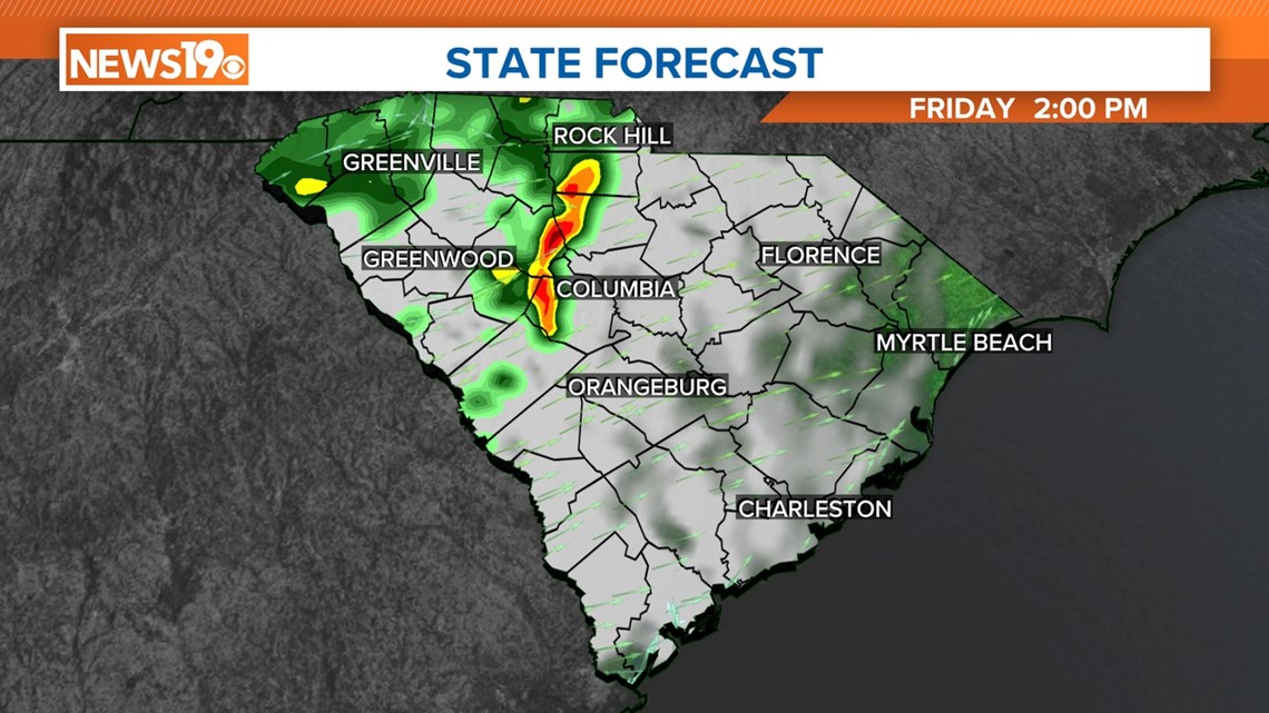
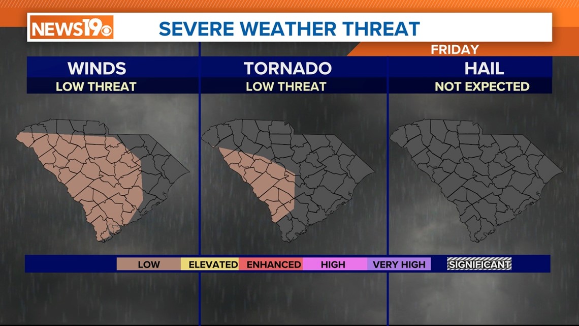
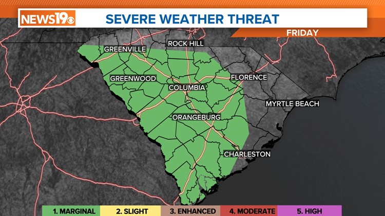
There will be a chance of showers and thunderstorms this afternoon. The Storm Prediction Center has the majority of South Carolina at a marginal risk for severe weather today.
A marginal risk for severe weather means weather conditions could potentially lead to isolated severe thunderstorms. While the overall threat is low compared to other risk categories, there is still a possibility of localized instances of severe storms, such as isolated thunderstorms, hail, gusty winds, or brief tornadoes.


It is important for people in affected areas to stay informed through weather updates and to be prepared to take appropriate safety measures if severe weather occurs.
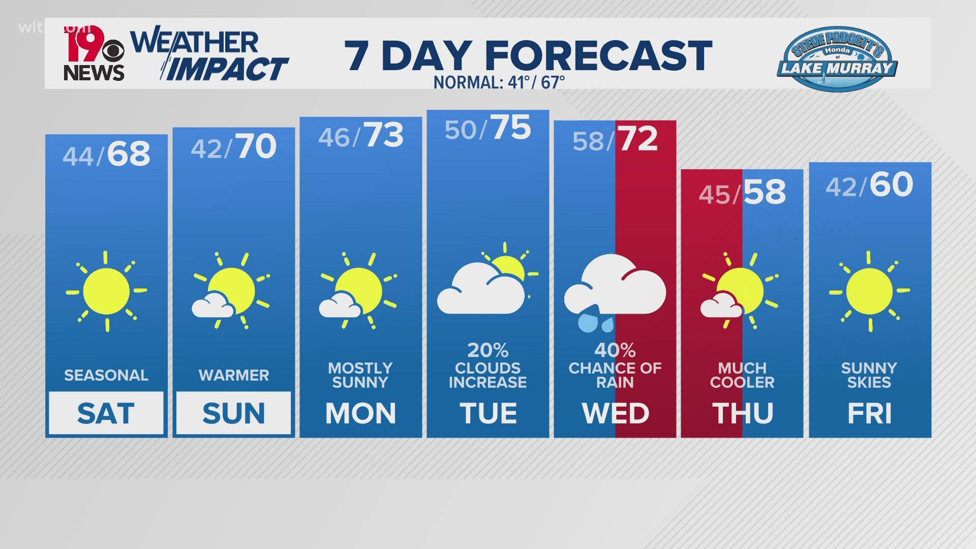
Rain will continue to be possible this evening, and tonight, gradually, the chance for showers will decrease. Lows will be in the upper 50s on Saturday morning. Fog is possible early Saturday, but it will mix out by the mid-morning hours. Saturday afternoon will be partly cloudy, with high temperatures in the middle to upper 70s.
The chance for rain will return to the state late Sunday into very early Monday. Highs on Sunday will be in the middle 70s. Cooler, drier air moves into the state at the beginning of the workweek.
There is a chance of freezing or frosty conditions on Monday night and Tuesday morning. Temperatures will then level out, staying close to or just a bit above the usual range by Wednesday and Thursday.


