

COLUMBIA, S.C. — We expect calm and dry weather, with temperatures close to normal for this time of year. The skies will be mainly clear today. The chance for rain returns to the area on Friday. The heat and humidity will begin to build into the Midlands over the weekend.
The skies will be mostly sunny today. It will be seasonably hot, with high temperatures in the lower 90s for most of the area. Tonight will be mostly clear with low temperatures in the middle to upper 60s.
An area of low pressure near the Bahamas is forecast to move south of our area tomorrow. The National Hurricane Center gives this disturbance a low chance of developing further over the next 48 hours.
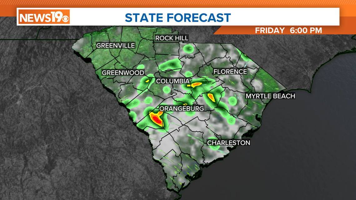
While it is not expected to develop much, it will bring more moisture into our area. This increase in moisture will likely lead to some showers and thunderstorms tomorrow afternoon, particularly in areas south of I-20.
Friday's temperatures will be a bit warmer than today, with highs reaching the lower to mid-90s. Friday night, expect temperatures to be in the upper 60s to around 70 degrees, with more clouds providing some insulation.

A significant warming trend will start on Saturday. Highs are forecasted to reach the mid-90s, and some locations might even see temperatures in the upper 90s. The wind will shift, bringing more moisture from the south, which will raise humidity levels. This southerly wind will increase the moisture in the air, leading to higher humidity.
Despite the increased moisture, the heat will be the main story. Daytime heating could trigger isolated afternoon thunderstorms, but these should taper off after sunset. Saturday night will be mild, with lows only dropping to the low 70s.

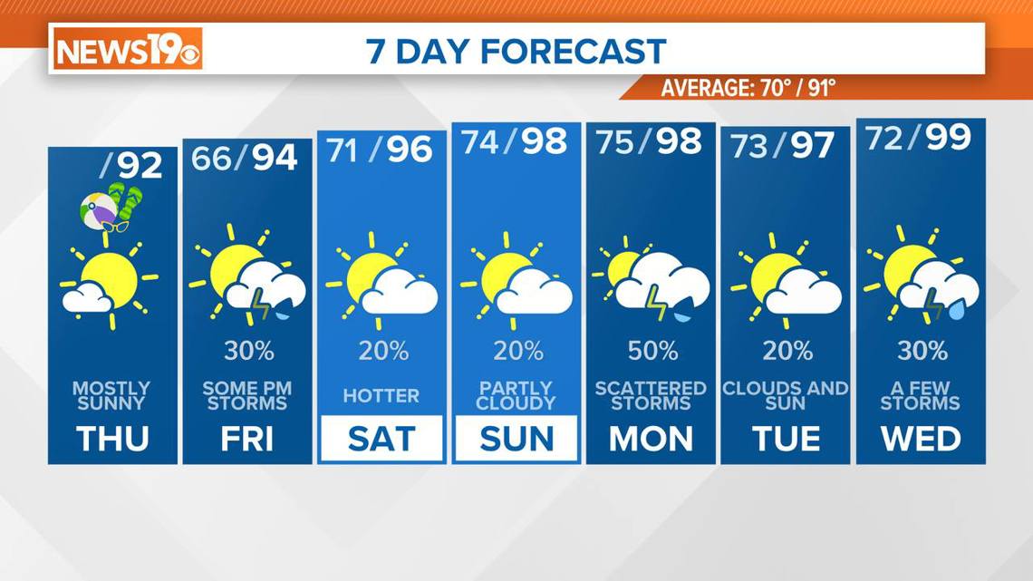
Looking ahead to Sunday and into early next week, the heat will intensify. We can expect temperatures to soar well above normal, with highs in the middle to upper 90s. Combined with high humidity, heat indices could reach between 98 and 103 degrees. Overnight lows will also be warmer, staying in the low to mid-70s.
There is some uncertainty as we move into the middle of next week. A couple of weather disturbances are expected to move through the region, which could bring more active weather. The forecast models disagree on how much moisture these disturbances will bring, so it is unclear whether we will see significant rain or just continued hot and humid conditions.
Overall, it looks like we are heading into a more typical summer pattern with plenty of heat and humidity. Be prepared for potentially uncomfortable conditions, especially during the peak heating times of the day, and stay hydrated.