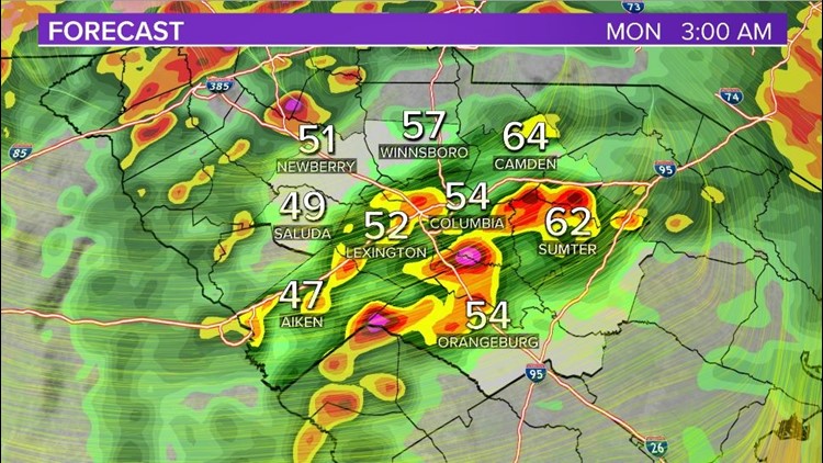
COLUMBIA, S.C. — Severe storms will be possible into early this morning as an area of low pressure moves through the region.
This low pressure system will strengthen as it exits the deep south and moves northeast towards the Carolinas. With that being said, there is a lot of wind energy with this system and that is why the entire viewing area is under a slight risk for severe weather.

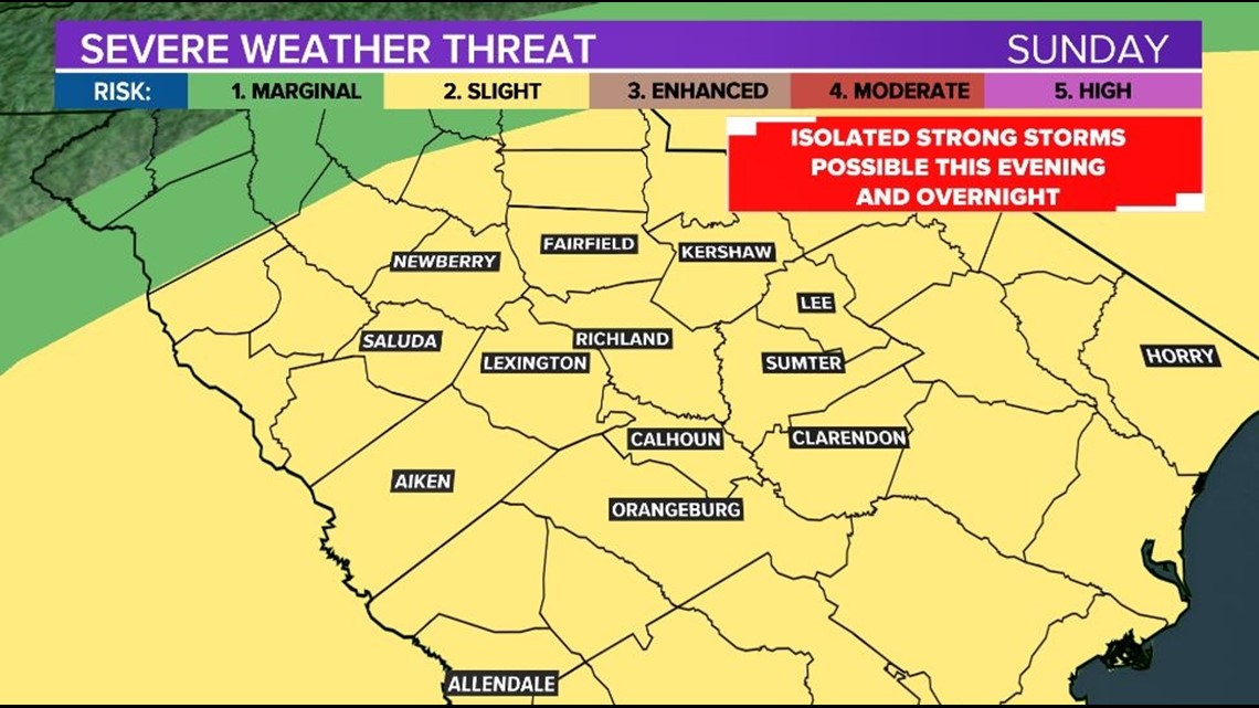
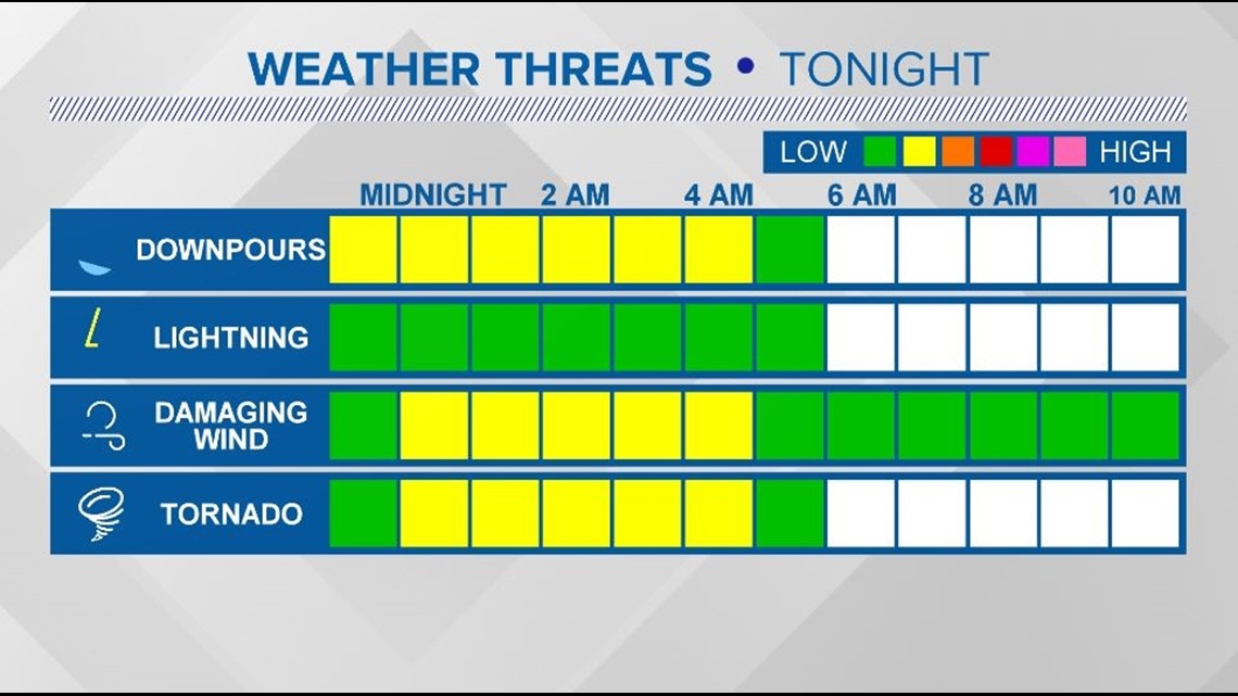
The current thinking is that through about 5 a.m. we could see some stronger storms associated with this system as they move from the west. There is some question unto how much storm energy we can build up which is why the threat remains isolated at this point in time.
Models have the strongest storms ending by 5 a.m., make sure you have a way to get weather alerts through the overnight.


As for thought on weather impacts, Isolated tornadoes will be possible overnight along with damaging winds. Like stated before, the big question will be if we see enough energy to see these storms go severe. Regardless, I do think wind is the biggest concern especially considering winds will be gusting 30-45 mph outside of thunderstorms to begin with.
RELATED: Local Forecast

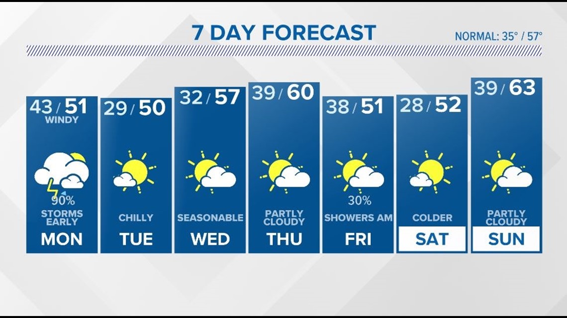
As we go into Monday morning, we should see things die down pretty quickly after 5 a.m. Showers will be possible on the back end of this system through about midday and winds will be quite stout out of the NW. As for temperatures we will be cold with highs struggling to reach 50° in the afternoon.

