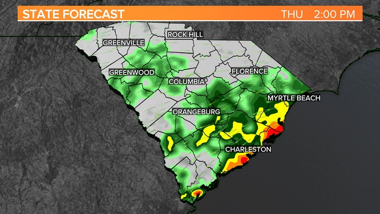
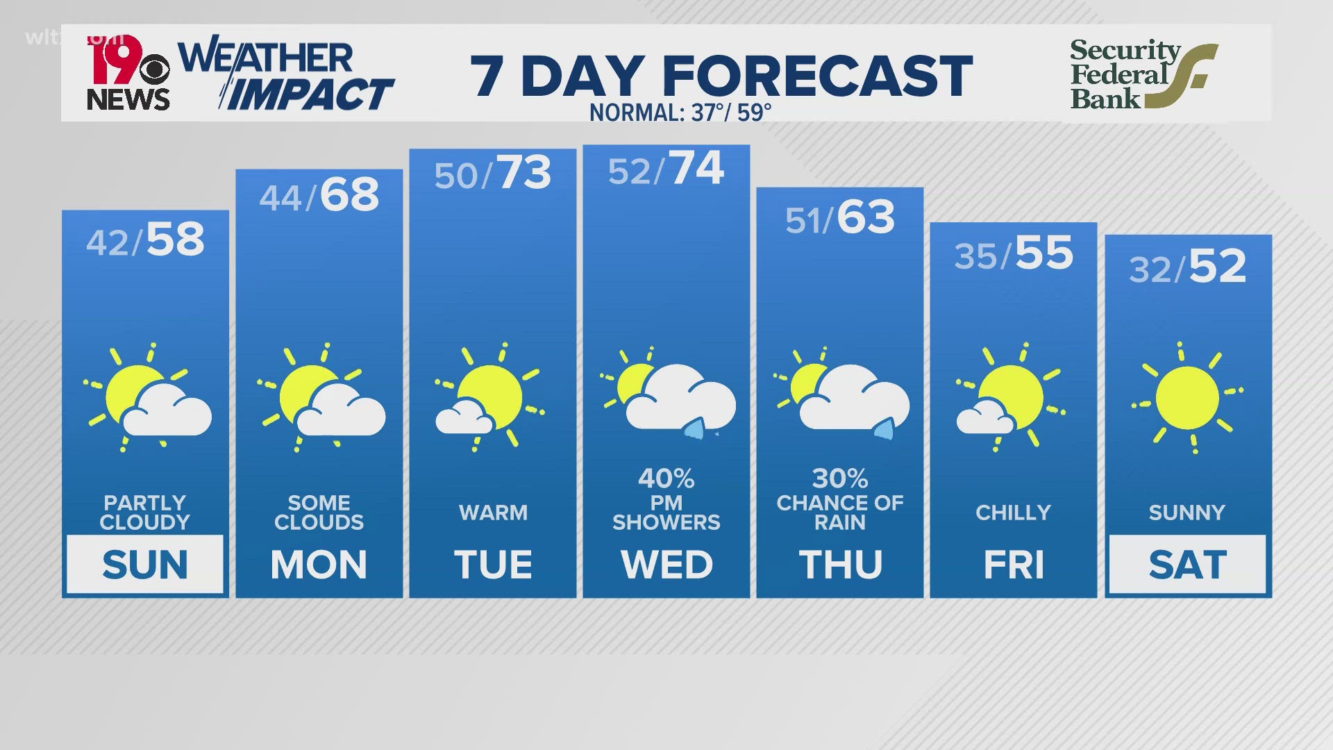
COLUMBIA, S.C. — Showers and cooler temperatures are expected for the rest of today. Rainfall could be heavy at times. The rain chances will decrease early Friday. Saturday will be partly cloudy, with temperatures climbing back to normal levels. Showers and storms are possible for the second half of the weekend.
The front responsible for this rainy weather will remain stalled over the southern half of the area today and then begin to slide eastward tonight. This sets up a complex scenario through the period, with showers and the potential for a few stray thunderstorms, while winds from the northeast try to usher in drier air to the northern Midlands.

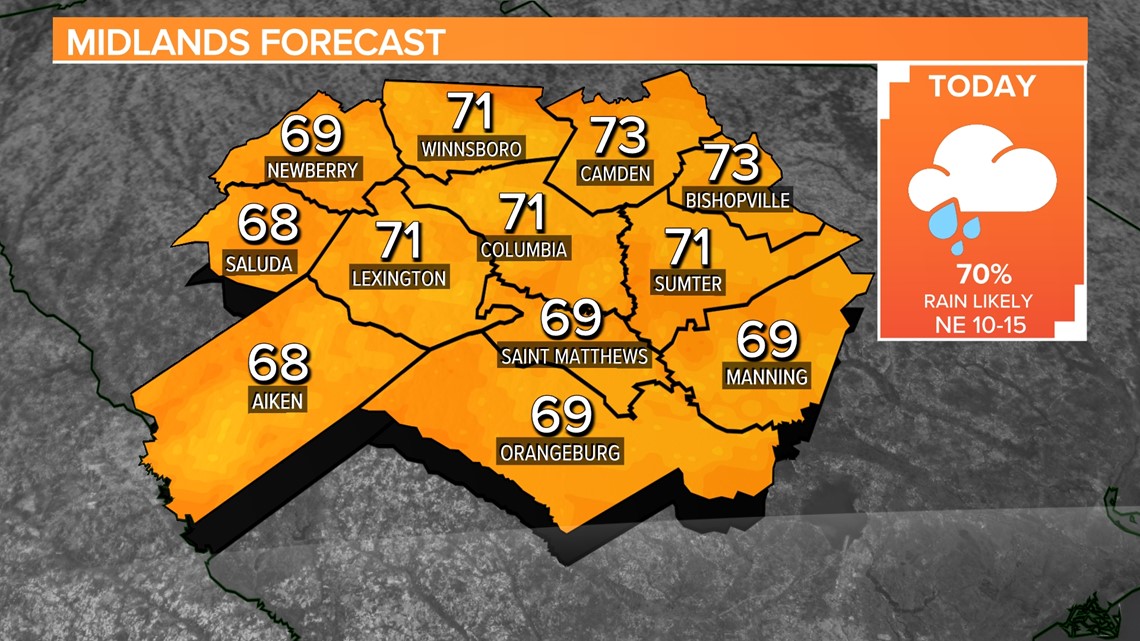
Rainfall amounts up to nearly 2 inches will be possible in the southern half of the Midlands. The northern half of the area will not get as much. Although there will be ample moisture in place, instability will be lacking, and extensive cloud cover across the region will effectively limit daytime heating. As a result, expect showers through much of the day, with the highest chance of precipitation in the central Midlands and southern Midlands.

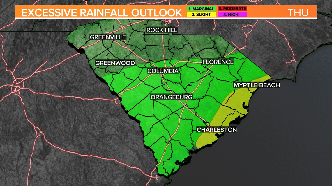
While the potential for localized flooding remains low, areas of heavy rain in the southern Midlands will be monitored closely. Early tonight, the front will start sliding out of the area as low pressure is expected to develop off the Georgia coast during the early morning hours.
This progression will lead to decreasing chances of precipitation, with showers pushing northeastward. However, some showers may persist through daybreak on Friday, mainly in the northern Midlands.

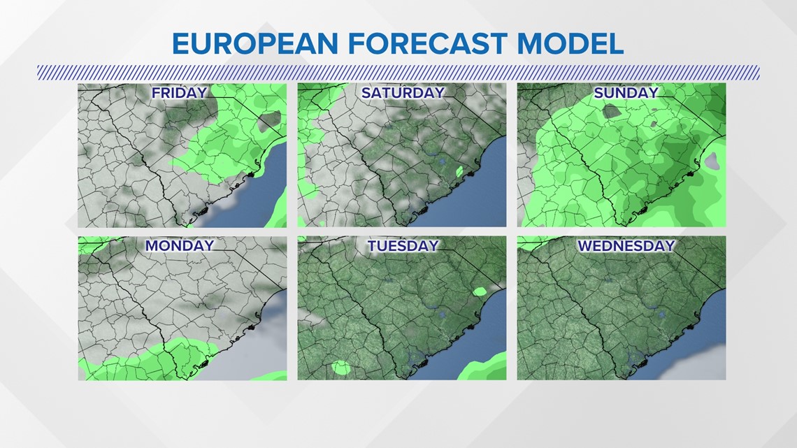
High temperatures this afternoon will range from the upper 60s to the low 70s, providing a relatively mild day. Overnight, lows are expected to be in the mid-50s to around 60 degrees.
Friday will be mostly cloudy once the rain moves out. Temperatures will still be a little below normal. Look for highs in the middle 70s.
The first half of the weekend will be dry, but there is a chance for showers and storms Sunday. High temperatures over the weekend will be in the lower to middle 80s.


