
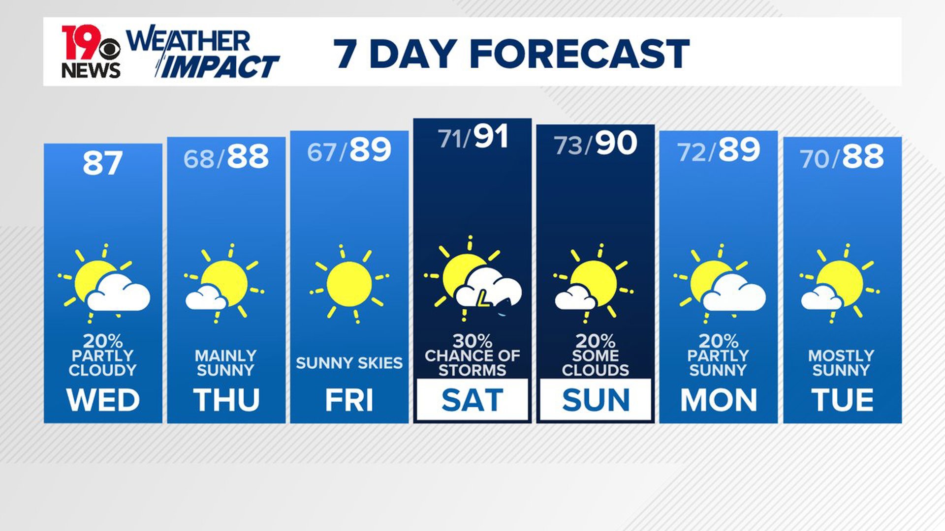
COLUMBIA, S.C. — A high-pressure system will bring dry weather and slightly cooler temperatures to the area through the end of the workweek. However, as a weak cold front moves in this weekend, the chance of rain will increase. The front might linger over the Southeast early next week, which could lead to some light rain.
An upper ridge is situated over the southern Plains and the lower Mississippi Valley, while a deep low-pressure system is affecting the Canadian Maritimes. This low is creating a trough along the East Coast, which is gradually shifting eastward.
Over the Carolinas, there is a northwest flow in the upper atmosphere. The frontal boundary that was previously over the area has now moved south, allowing high pressure from the Mid-Atlantic region to extend into the area. This will lead to a northeast low-level flow, bringing in cooler and drier air, especially later this afternoon.

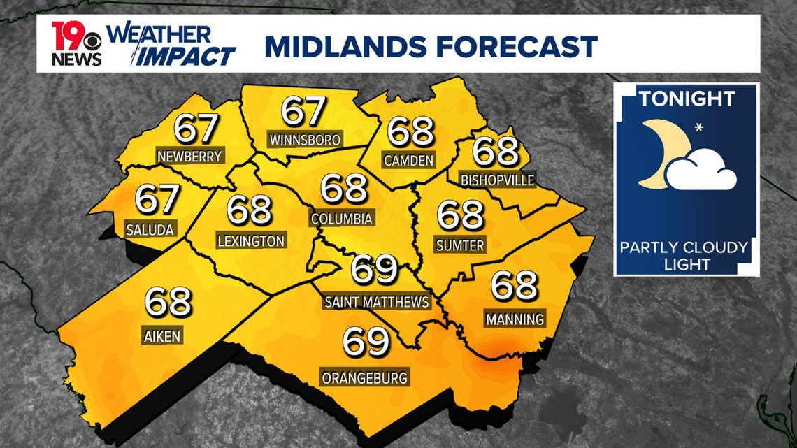
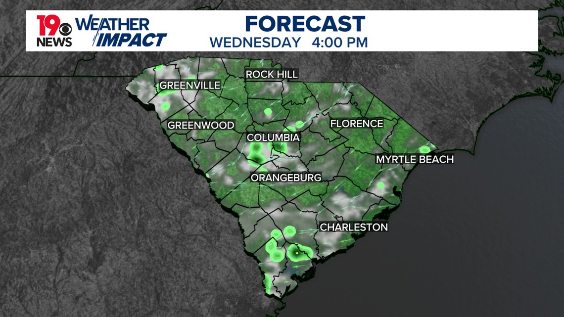
A few isolated showers or possibly a weak thunderstorm, mainly in the southeast Midlands near the sea breeze convergence zone, are possible today. Afternoon temperatures are expected to reach the middle to upper 80s, with overnight lows dropping to the upper 60s. If we do drop into the 60s, this would be the first time the Columbia airport has been in the 60-degree range since July 3.

Thursday and Friday will be pleasant for August. Highs will be in the middle to upper 80s. Afternoon dewpoints will be in the middle 60s. This will be a nice change compared to what we have been experiencing.
Our in-house forecast model does bring a small chance of rain to the Midlands very late Friday night, but there will be a better chance for a few showers and storms Saturday afternoon.