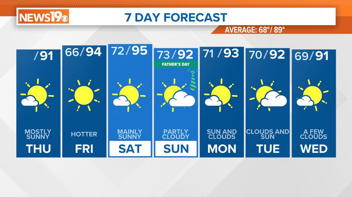
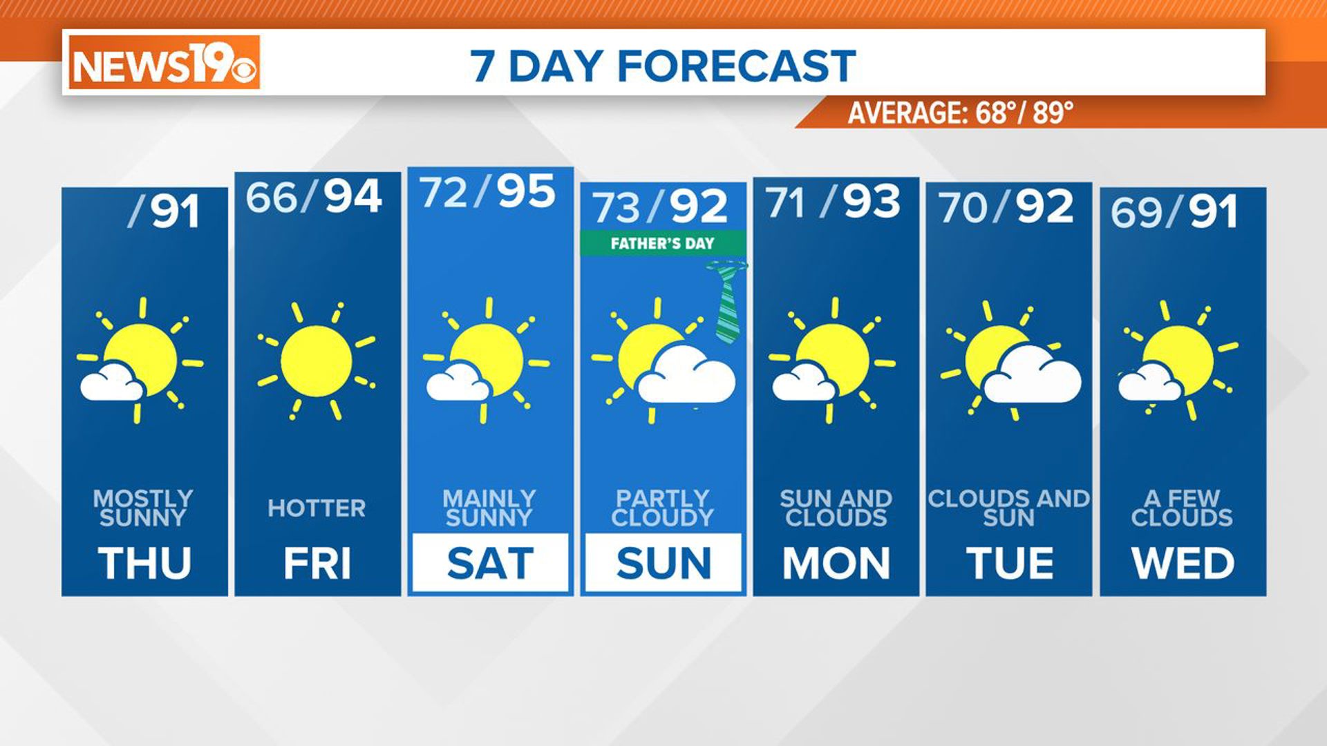
COLUMBIA, S.C. — As we head towards the end of the week, high pressure remains dominant over the region, ensuring dry and hot conditions through Friday. However, changes are on the horizon as moisture levels will start to rise on Saturday.
An upper trough moving into the Southeast from the Deep South is bringing enough mid-level moisture to produce some cloud cover this morning. This trough will continue moving eastward today and tonight.
Meanwhile, surface high pressure stays over the area. A sea breeze front may bring showers to the Lowcountry of South Carolina, but the chance of these showers reaching our area is very low.
Expect mostly fair conditions today, with highs in the upper 80s to lower 90s. Skies will clear overnight, potentially allowing fog to develop near bodies of water, with lows in the mid-60s to around 70.
On Friday, the upper trough will pass through New England, and an upper-level ridge will build into the central and southeastern US. A weak boundary will approach from the north but will lose its strength by Friday evening.
Another weak boundary offshore will move from the Georgia coast to the Carolinas, accelerating into the Atlantic Basin by Friday night. With high pressure building, temperatures will climb, reaching the mid-90s in most areas. Though it will be slightly drier than usual, the heat index will still approach the upper 90s, so those spending time outdoors should take frequent breaks and stay hydrated.


Saturday's weather will remain like Friday, with high pressure moving eastward. Highs will range from the low 90s in the north to the upper 90s in the south. With a bit more moisture, heat index values will rise to the low 100s in some areas. Though the high pressure will weaken, dry mid-level air and light winds will likely prevent any rain.
Surface high pressure will move from off the New England coast to the Northwest Atlantic by midweek, turning winds easterly and southeasterly and bringing more moisture into the region, but little rain is expected.
Temperatures will stay in the low to mid-90s, and heat index readings will stay in the mid-90s to around 100.

