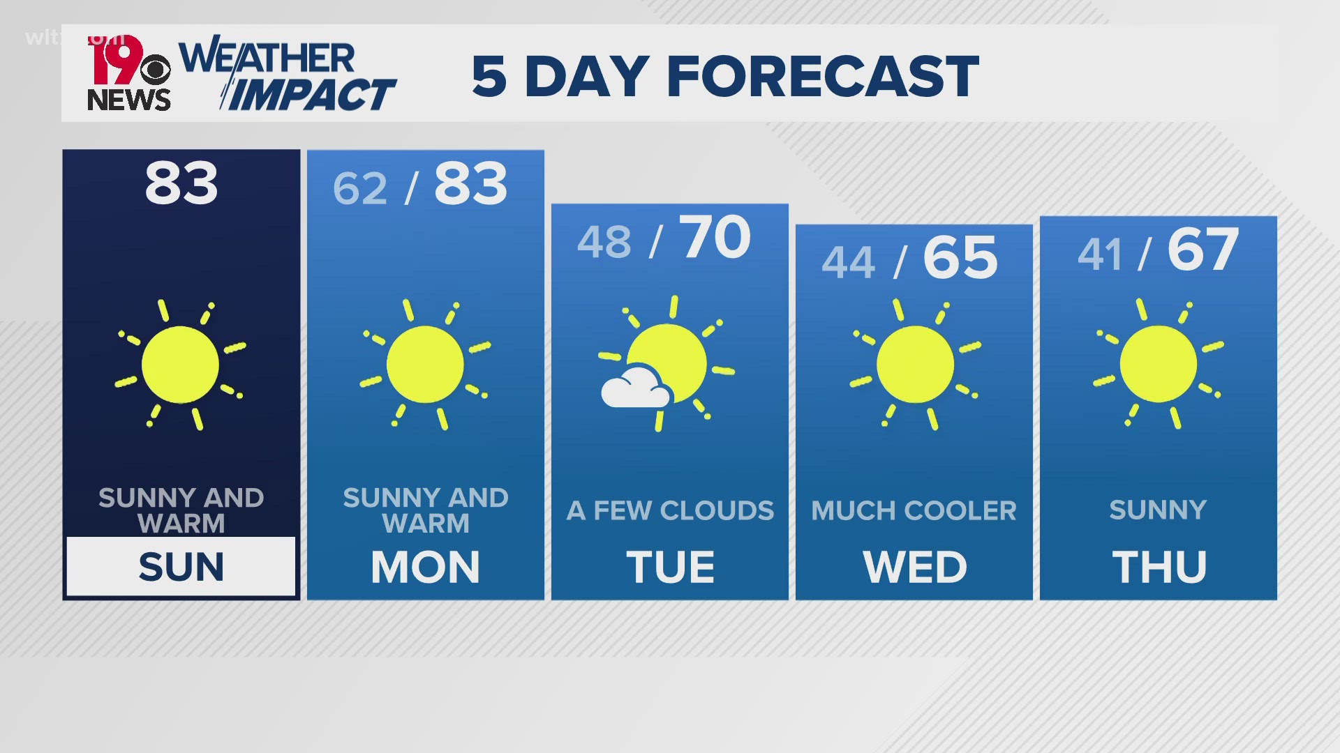
COLUMBIA, S.C. — Rain is back in the forecast once again in the Midlands. Isolated showers and storms are possible in the afternoon on Tuesday with more widespread and heavy rain likely as we get towards the middle of the week.
A stalled front has been situated over the area bringing some rain chances over the past few days. Overall though, things have been a little bit drier than what we saw last week. What is left of this front will provide the chance of isolated storms along the I-95 corridor this afternoon. Highs should reach right around 90 by about 4 pm.


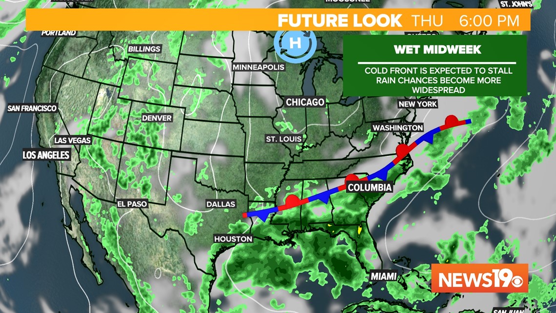
Going into Wednesday, a cold front will be moving in from the north. This frontal boundary will replace the old one meaning we will be seeing widespread rain chances starting on Wednesday.

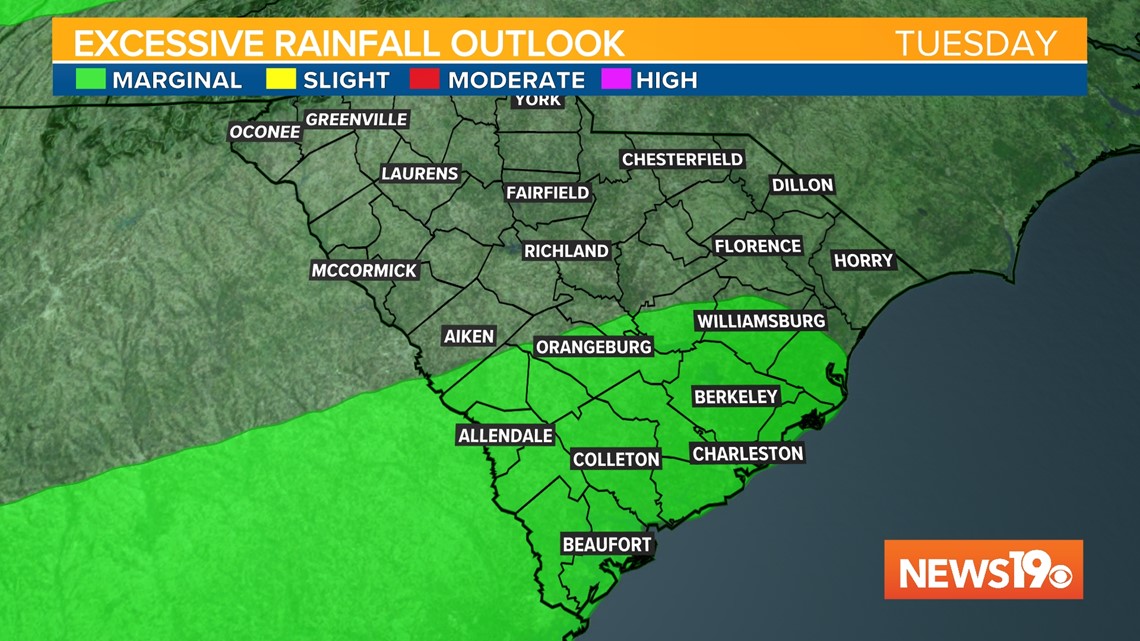
While we will likely see numerous storms tomorrow, we will need to watch for the potential of flash flooding through the end of the week. With the ground already being pretty saturated it will not take too much rain for issues to begin in the Midlands.
As of this morning the Weather Prediction Center has most of the Midlands under a Marginal risk of excessive rain for both Wednesday and Thursday. Around 2-3" of rain look to be possible over this week widespread with locally higher amounts.

Moving on to the tropics, the National Hurricane Center is still watching the low end chance of tropical development along the Gulf Coast over the coming days. Regardless if this forms or not, increased moisture will be brought into the area.