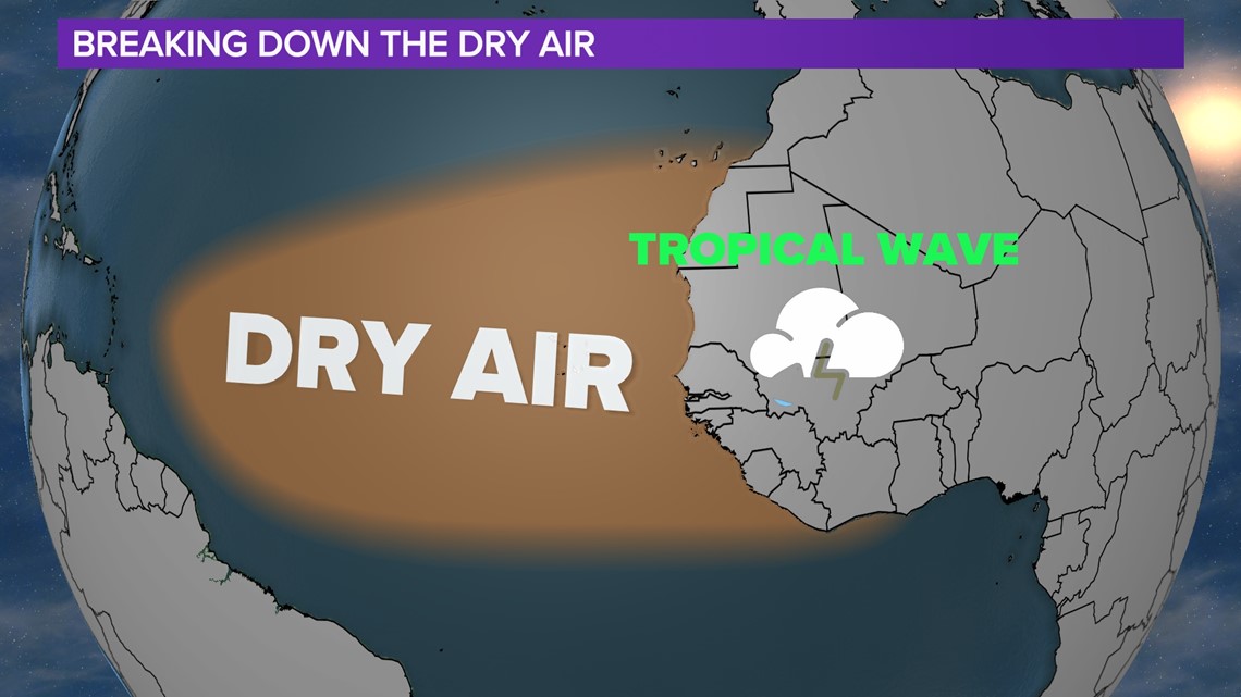
COLUMBIA, S.C. — At the beginning of the month we introduced you to the Saharan Air Layer. This sand suspended in the atmosphere continues to be an issue when it comes to tropical development in in 2022. Tropical systems thrive in a moist environment and the Saharan dust chokes off any developing systems in the tropics.
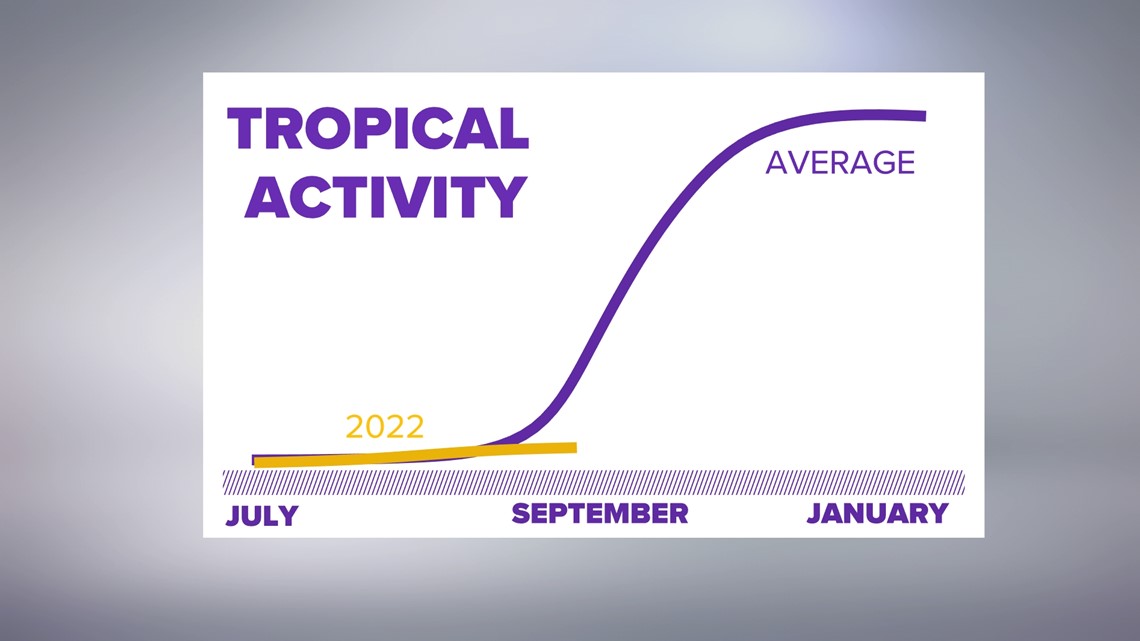
This has been such an issue that a metric we call ACE or Accumulated Cyclone Energy is at near record lows for this time of the year, only about 10% of what we should be as we go into August.


Things look to be changing pretty quickly though as we now have multiple areas of potential development the National Hurricane Center thinks could develop.
The reason for these changes is that we have begun to see tropical waves constantly coming off of the African coast. This is important because these waves will dissipate as they head over the ocean but also eat away at the dry air making a more favorable environment with each wave.


This doesn’t guarantee a hurricane though. You can see, out of all of the tropical waves, only one has a decent chance of development. Even with this being the case, it has a harsh environment right now for strengthening and remains very far from any potential impacts down the road.
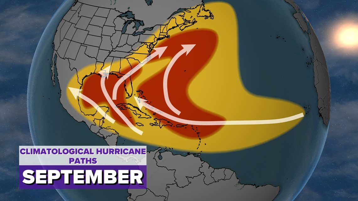
With September around the corner we see tropical activity really ramp up with climatology telling us that storms can come from all over the Atlantic basin thanks to the very warm water this time of the year.


