

COLUMBIA, S.C. — Widespread showers are expected through the late morning as moisture increases ahead of a cold front, but rainfall totals will generally remain below 0.25". A few thunderstorms are then possible in the afternoon as the cold front moves through the region. The front will move east of the area by early evening. Drier and cooler air fills in for Saturday, but a few showers remain possible as an upper-level system swings through. Dry and fair weather is expected Sunday into the middle of the week, and a strong warm-up is expected.
Rain will move through the Midlands Friday morning. Temperatures started off a lot warmer than they were the last several days. Lows this morning were in the middle to lower 50s for the most part across the area. The rain will decrease late Friday morning, but more rain is possible this afternoon in the form of showers and a few storms. Highs will be in the upper 60s to near 70 degrees.
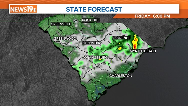
The Storm Prediction Center had most of the Midlands under a marginal risk for severe weather today, but they have now reduced the risk.

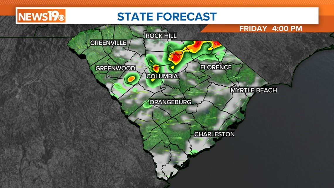
The chance of storms will be mainly from 3 pm to 7 pm today. Skies will clear out tonight as a cold front moves through the area.
Temperatures will be cooler over the weekend. Highs will be in the lower 60s on Saturday. A few light showers will be possible Saturday afternoon as a disturbance moves through the Southeast. Sunday will be sunny and a little cooler, with highs in the upper 50s to near 60 degrees. Temperatures for the start of the new workweek are forecast to be above normal.

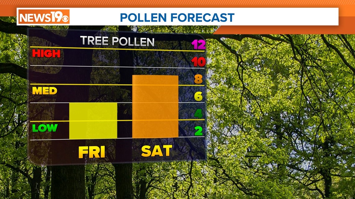
Pollen levels will not be as high today, but they will increase over the weekend. If you are suffering from seasonal allergies, you can likely blame the tree pollen.
