COLUMBIA, S.C. — When it comes to winter weather, there is a lot that goes into a forecast. One thing that you might have heard about and is unique to this part of the country is Cold Air Damming, more commonly known as "The Wedge" or "The Carolina Wedge". This weather feature has big impacts on what we see falling from the sky during the winter months so, let's break it all down.
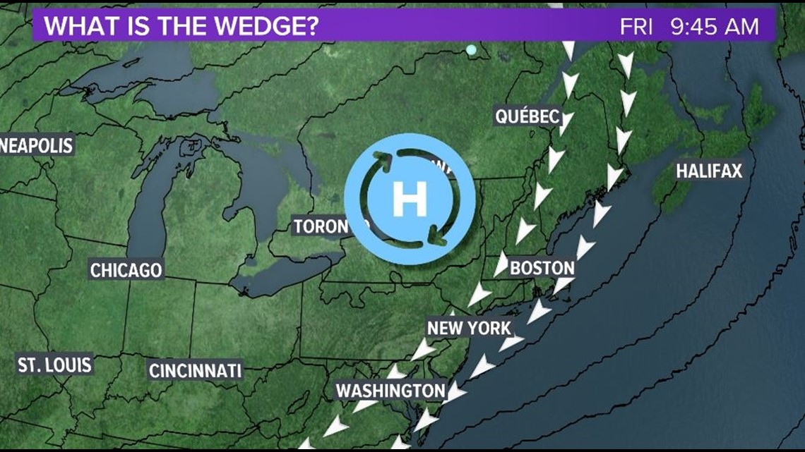
To start things off, we need to look to the north; the Northeast to be more specific. When strong high pressures move over this region they filter much colder air down the east coast.


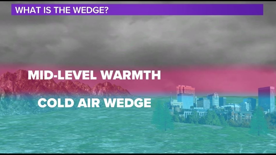
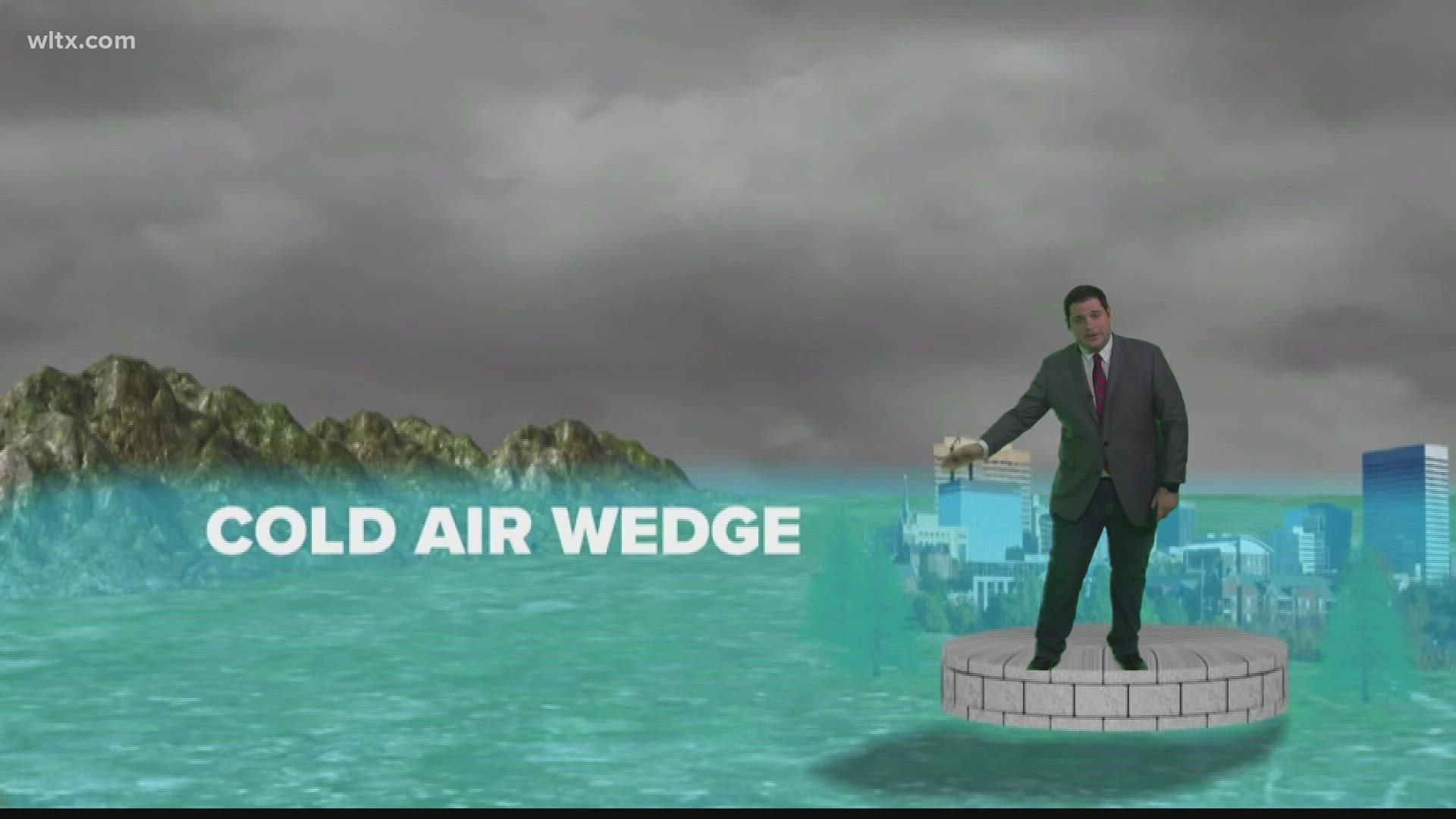
Thanks to the clockwise-flow around high pressure this much colder air is pushed south. This is where the landscape comes into play with this weather setup. The Appalachians act as a wall, further pushing the cold air down to the south reaching places like Georgia and South Carolina.
We are expecting this setup exactly for the end of the week, that's why we should have plenty of cold air in place at the surface for wintry weather across the Midlands.
RELATED: Local Forecast


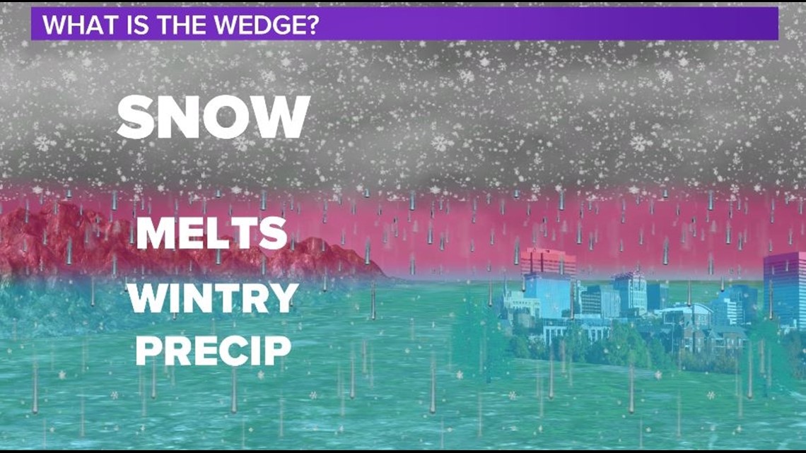
So, with all this being said, why don't we just see snow every time the wedge sets up? That is the tricky thing, the cold air is only about 1-2 thousand feet in depth meaning it is relatively shallow. You take that, and add a typical warm layer of air at the mid-levels that typically develop with low pressure systems and you get mixed/wintry precipitation.


