COLUMBIA, S.C. — The threat of severe and damaging storms in the Midlands has now ended.
The area saw rain for parts of Sunday and again overnight, but as the morning progressed, the rain began to taper off.
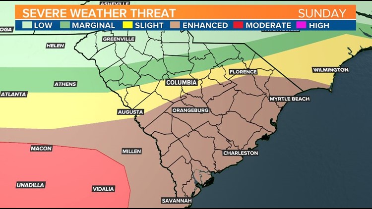
The area was spared, however, from a bout of more significant severe weather, as the strongest storms stayed well south of the Midlands and into southern Georgia and the Lowcountry.
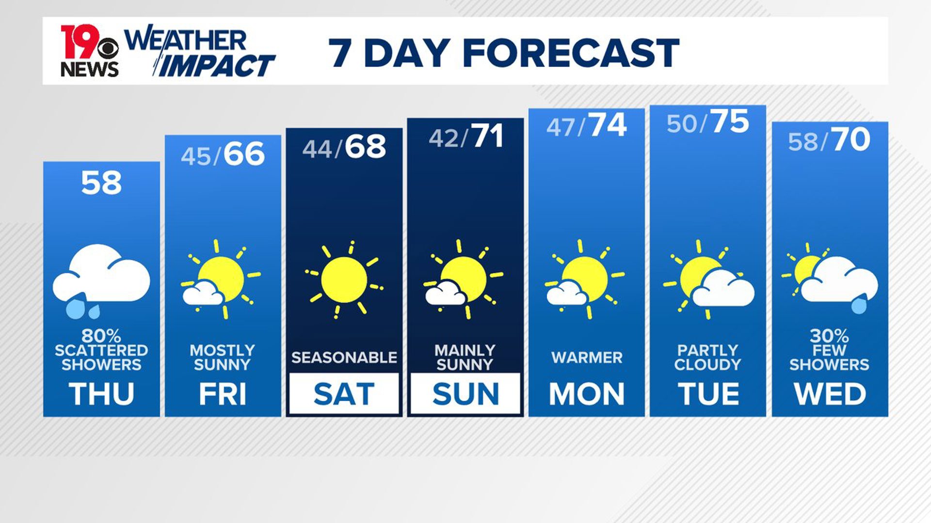
Dry air has moved in behind the system that came through the region, lowering the chance for more precipitation.
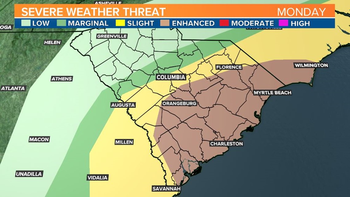
The southern portion of the Midlands had been under an enhanced risk of severe weather which is a 3 out of 5 on the severe weather scale.The central Midlands was under a slight risk of severe weather, while the northern Midlands was under a marginal risk.
There is still a risk of severe weather along some coastal areas until around 10 a.m.


As always, you can download the WLTX app for the latest information.


