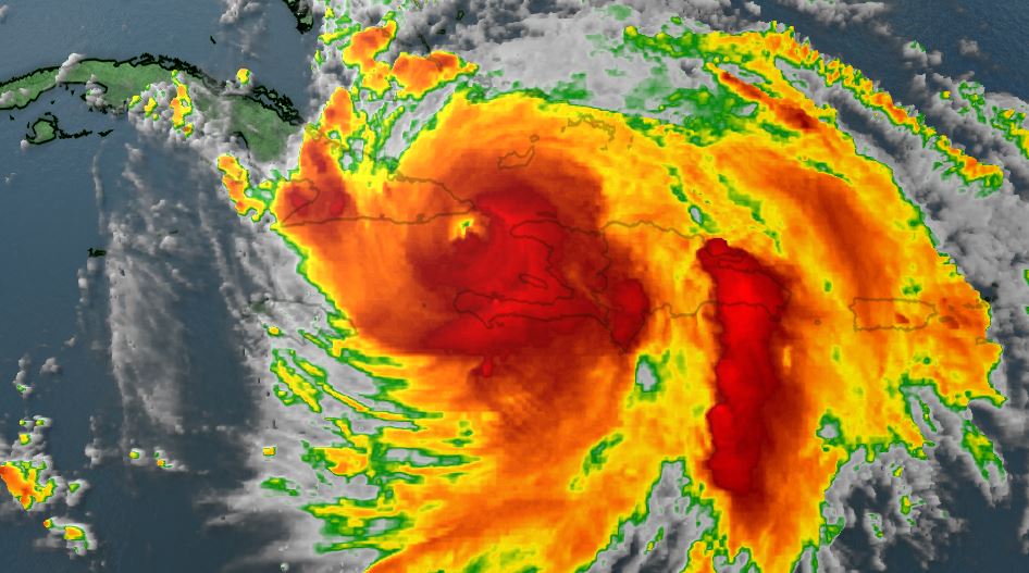
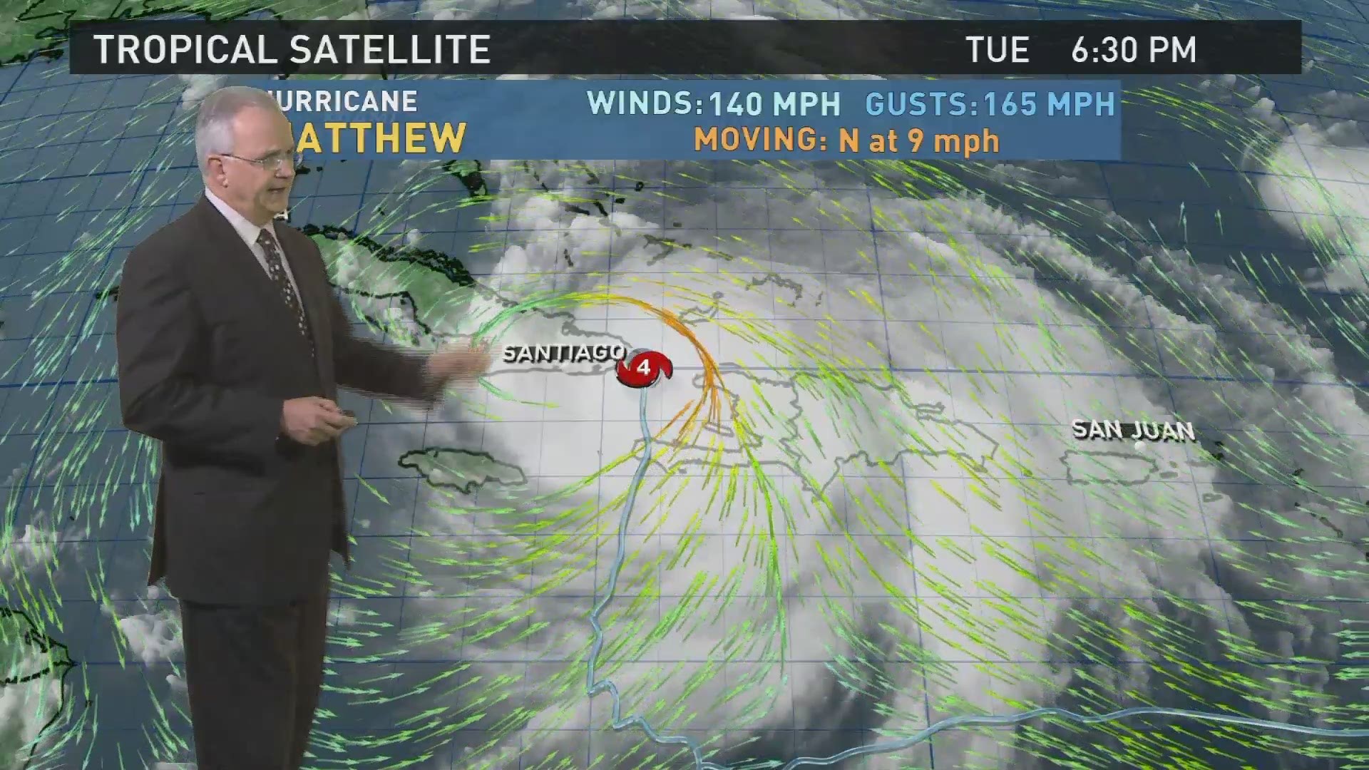
Columbia, SC (WLTX) - Hurricane Matthew's track shifted slightly east in relation to the South Carolina, but the state is still on track to get significant impacts from the storm in a few days.
The storm has maximum sustained winds of 140 miles an hour, and is moving to the north at 9 miles an hour.
Tropical storm and hurricane watches are in effect for the southeastern half of the Florida coast. In response to the threat caused by the storm, South Carolina Gov. Nikki Haley declared a state of emergency and ordered a coastal evacuation, a move that will affect 1.1 million people in the state. She also ordered over half the state's school districts to close beginning Wednesday.
RELATED COVERAGE: Haley Orders Coastal Evacuation
The storm is leaving Cuba, and is headed toward the Bahamas, where it's expected to caused significant damage over the next day or so.
By late Friday, the storm will be along the southern end of the South Carolina coast. Right now, the forecast calls for the system to hug the coastline, then perhaps make landfall near the South Carolina border. The storm would begin to move away from the state during the day Saturday.

If that path holds up, there will potentially be hurricane force winds and significant flooding along the coast. In the Midlands, we could see rain and high winds, but Chief Meteorologist Jim Gandy says how much rain we see, and how high the winds may get
At this point, there remains some chance the path could change, but it's unlikely that there would be a significant alteration that would spare the state from at least some affect from the storm.
You can always get the latest conditions by downloading WLTX's apps or signing up for our text alerts.
Weather App Phone: on.wltx.com/WLTX_Weather_iPhone
Weather App Android: on.wltx.com/WLTX_Weather_Android
iPhone app: on.wltx.com/1NTHH98
Android app: on.wltx.com/1NTHvXq
Sign Up for WLTX Text Alerts: Text Alert Signup Page

