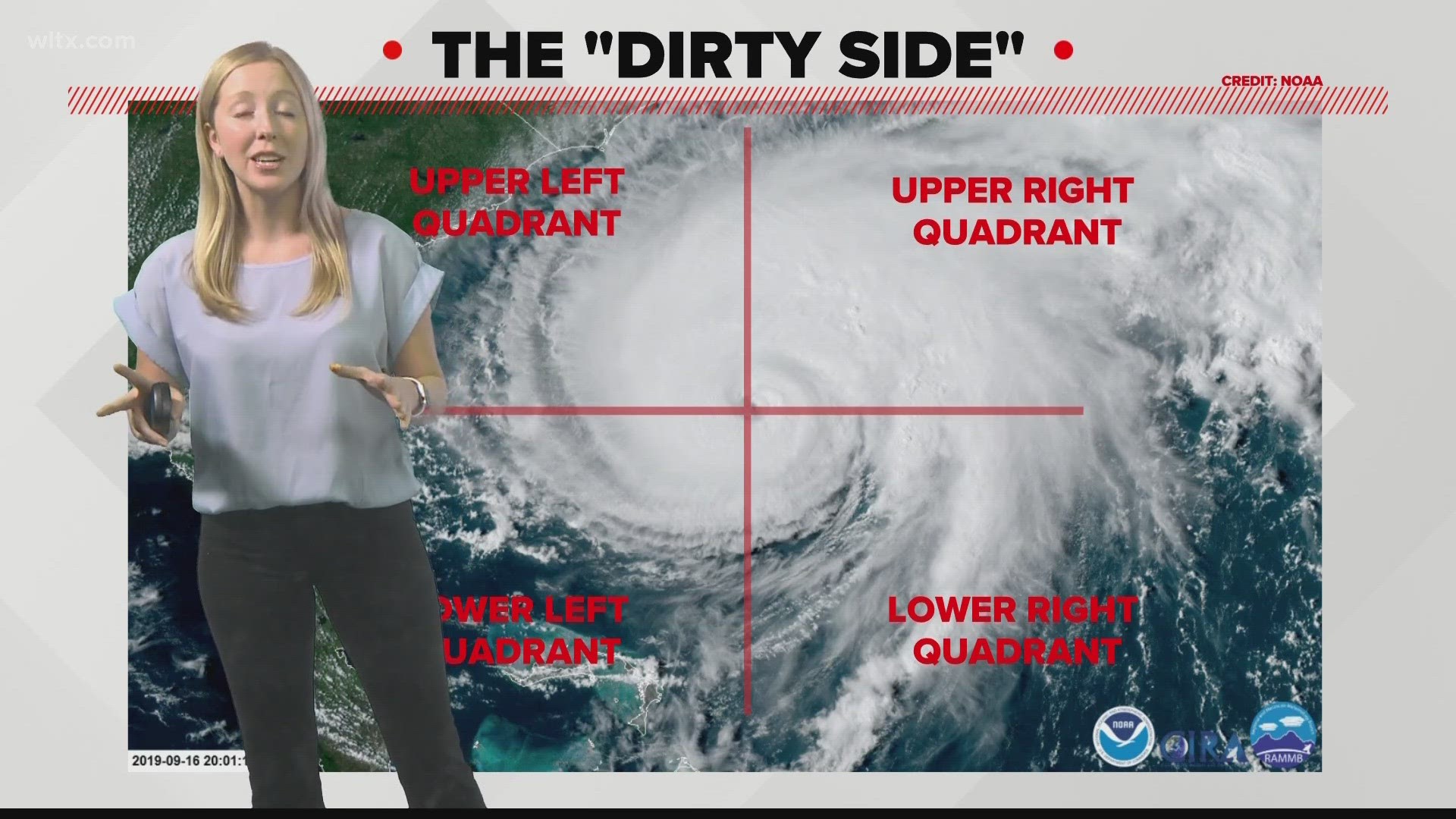
COLUMBIA, South Carolina — Let's talk about the build of a hurricane.
There is the eye at the center, the eyewall surrounding it, and the outer rainbands. We can break down a hurricane into four quadrants, but it's the right side that meteorologists call the “dirty side.”
To be more specific, the upper right quadrant is where some of the biggest dangers lurk. This area is home to the highest wind speeds, the heaviest rainfall, storm surges, and the greatest potential for tornadoes or waterspouts.
In the upper right quadrant, the winds align closely with the hurricane’s forward motion, strengthening the overall wind speed. For example, if the leading winds are at 30 miles per hour and the average wind strength is clocking in at 100 miles per hour, the combined effect would yield a wind speed of 130 miles per hour in the upper right quadrant, according to the University Corporation for Atmospheric Research.
The interaction between these strong winds and the ocean's warm, moist air can trigger the development of tornadoes or waterspouts within the rain bands.
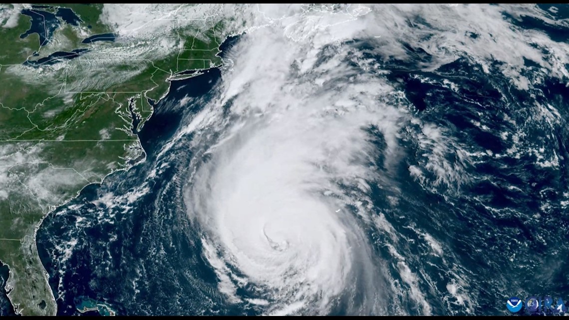
Taking a look at a satellite image of Hurricane Lee, you can now spot the storm’s strongest side.