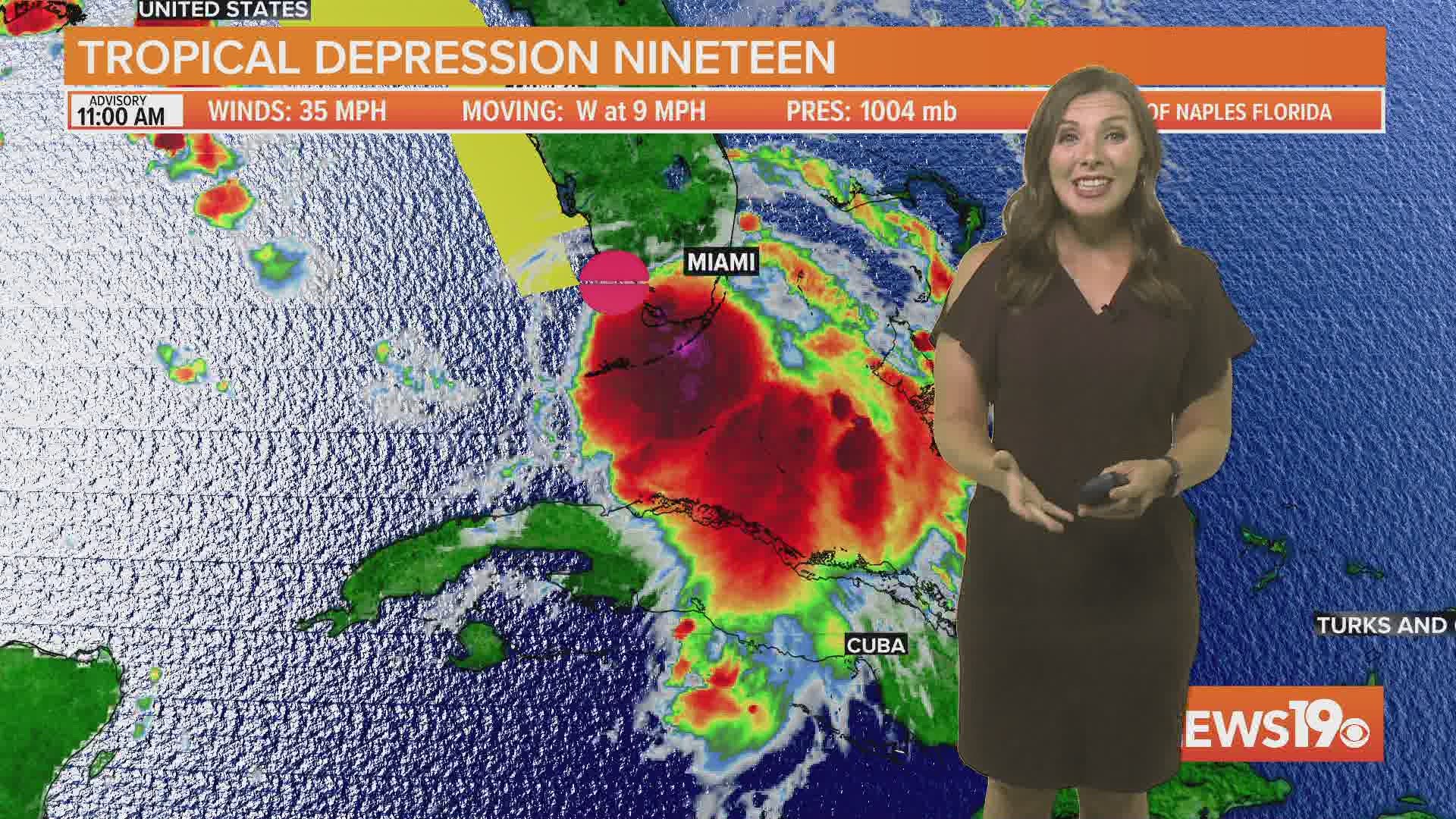
COLUMBIA, S.C. — Tropical Depression 19 is likely to become a tropical storm later today and is now forecast to strengthen to a hurricane as it enters the Gulf Coast this weekend.
A tropical storm watch is in place for portions of Florida.
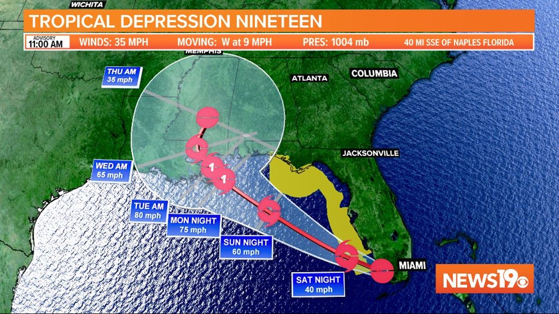
There is not much to inhibit strengthening as the storm moves into the Gulf. Waters remain extremely warm and there is little wind shear present. The current forecast has the storm becoming a category one hurricane on Monday with winds of 75 mph. The storm would be named Sally.
A landfall anywhere between the Florida panhandle through coastal Louisiana is possible midweek.

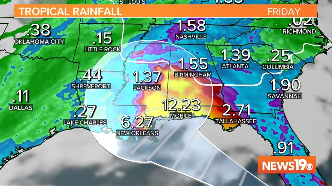
Heavy rainfall is expected with this system along the Gulf Coast regardless of development. Some models have near a foot of rain or more falling through the end of the week.

Currently, there are no concerns with this system for us in the Midlands. There is a small potential that some tropical moisture moves into our area later next week, however it remains too early to tell.
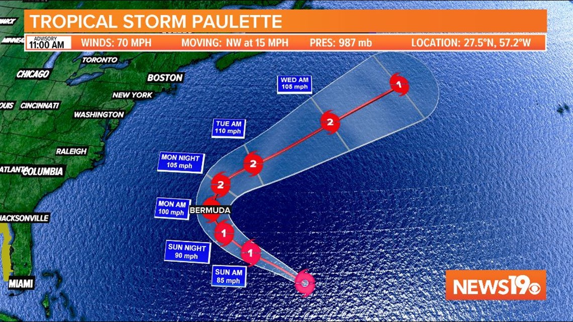
There are two other named storms in the Atlantic right now. Tropical Storm Paulette is forecast to strengthen over the next few days to a category 2 hurricane. Hurricane warnings are in place for Bermuda as the storm is expected to pass over the country before recurving out to sea.

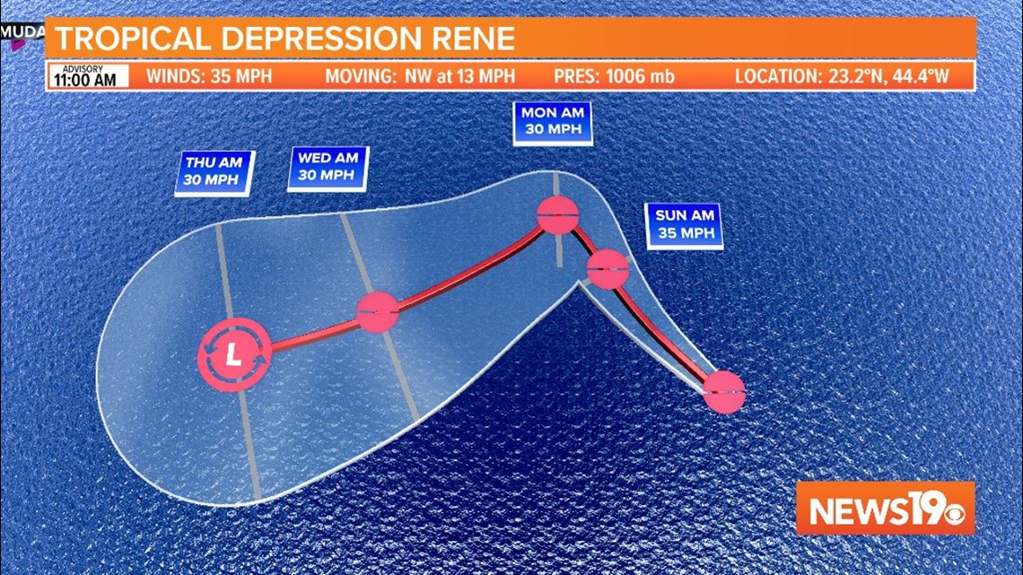
Rene has downgraded to a tropical depression and is forecast to continue weakening over the ocean.

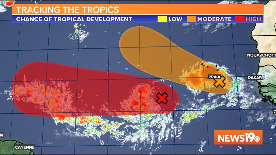
Two other systems off the coast of Africa have medium to high chances of developing over the next few days. Neither system is of immediate concern at the moment. The storm farther south with a high probability of development will need to be monitored over the next two weeks if it continues staying as far south as it is.

