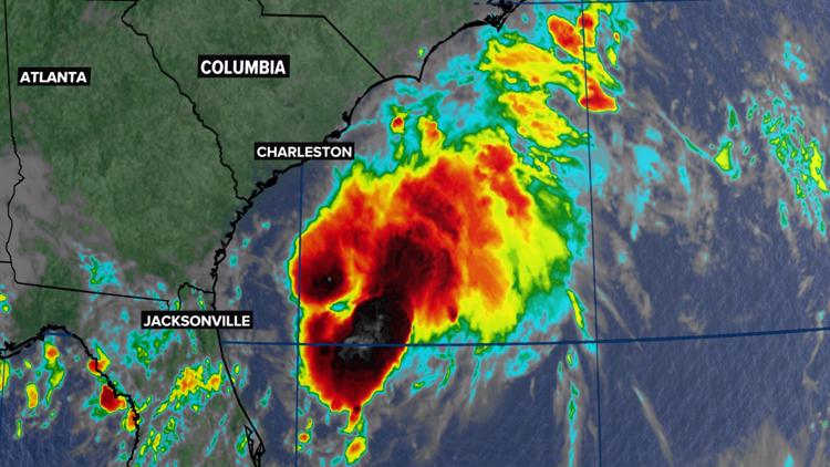
COLUMBIA, S.C. — Tropical Storm Colin formed off the South Carolina coast early Saturday morning. A tropical storm warning remains in effect for parts of the South Carolina coast.
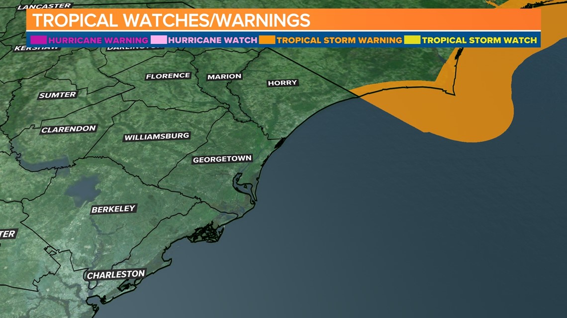
A tropical storm warning was in effect for South Santee River in South Carolina, to Duck, North Carolina, and for Pamlico Sounds early Saturday.
The tropical storm warning for South Carolina was canceled late Saturday morning.
Winds may surpass 40 mph this weekend with the tropical rainbands that move into extreme eastern parts of North Carolina.
A tropical storm warning means that tropical storm conditions are expected somewhere within the warning area within the next 36 hours.
Tropical Storm Colin was moving northeast at 8 mph. The storm had winds of 40 mph with some stronger gusts. It was located 25 miles west-southwest of Myrtle Beach.

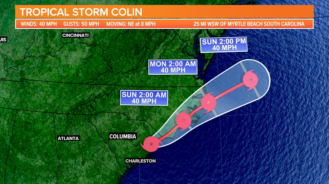
A turn toward the east-northeast with an increase in forward speed is expected late Sunday and Sunday night. On the forecast track, the center of Colin is expected to move northeastward along or just inland of the South Carolina and North Carolina coasts through Sunday, and then emerge over the western Atlantic Ocean late Sunday.
Tropical-storm-force winds extend outward up to 70 miles mainly to the southeast of the center.

Colin will continue to produce locally heavy rainfall across portions of coastal South and North Carolina through Sunday morning. An additional 1 to 2 inches of rainfall, with isolated amounts up to 4 inches, is expected. This rainfall may result in localized areas of flash flooding.
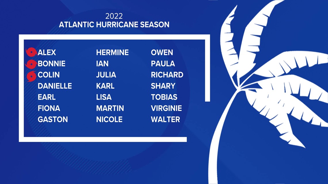
Colin is the third named storm of the season. So far, we have had Alex, Bonnie, and Colin.
Elsewhere in the tropics, the hurricane center is watching a tropical wave that continues to produce a broad area of disorganized showers and thunderstorms over the Windward Islands and eastern Caribbean Sea.

Upper-level winds are not conducive for significant development as the system moves west-northwestward during the next few days across the Caribbean Sea.


