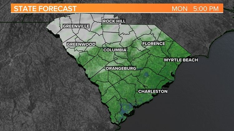
COLUMBIA, S.C. — Temperatures will remain below normal for the start of the workweek. Things will gradually warm over the next seven days as things remain mostly dry. An area of low pressure will lead to our next best chance for rain Saturday. Some rain is possible early Sunday.
It started off unseasonably cold again Monday morning. Lows dropped into the middle teens for a large portion of the Midlands. Columbia dropped to at least 42° earlier today. Camden had a low temperature of at least 12 degrees. Our average low temperature this time of the year is closer to the middle 30s. Normally, we would expect high temperatures in the middle to upper 50s.

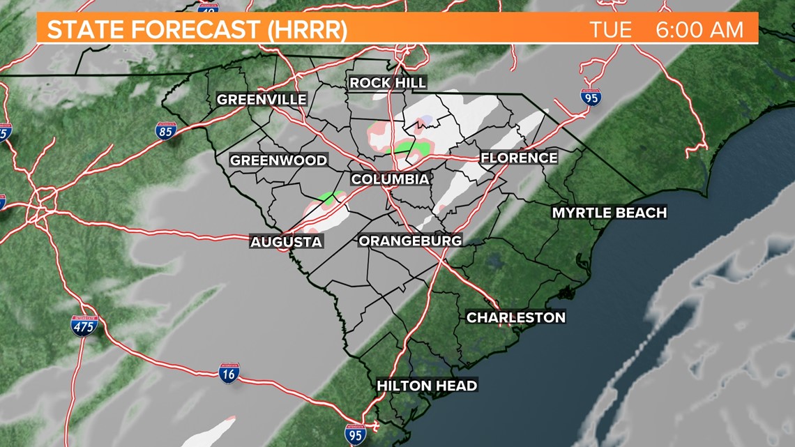
A disturbance will approach the area later today. A few clouds will move into the area. A few flurries will be possible late tonight through early Tuesday morning, but no impacts are expected from any wintry precipitation, if any falls. Low temperatures Tuesday morning will be in the middle 20s.
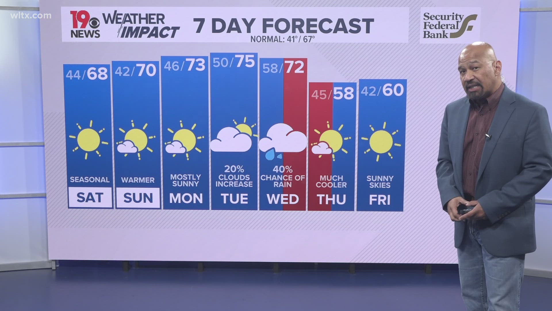
Skies will be mainly sunny Tuesday afternoon. It will still be unseasonably cool. Highs will be in the middle to upper 40s. Wednesday will start off cold, but temperatures should rebound into the lower 50s by the afternoon.

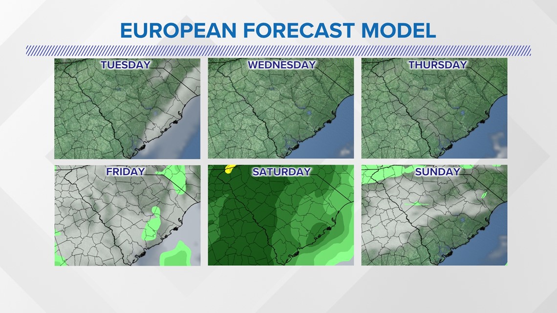
Thursday and Friday will be warmer. Highs will be in the lower 60s both days. Rain is likely for the last day of 2022. Highs will be in the middle 60s. Some lingering rain is possible early Sunday.
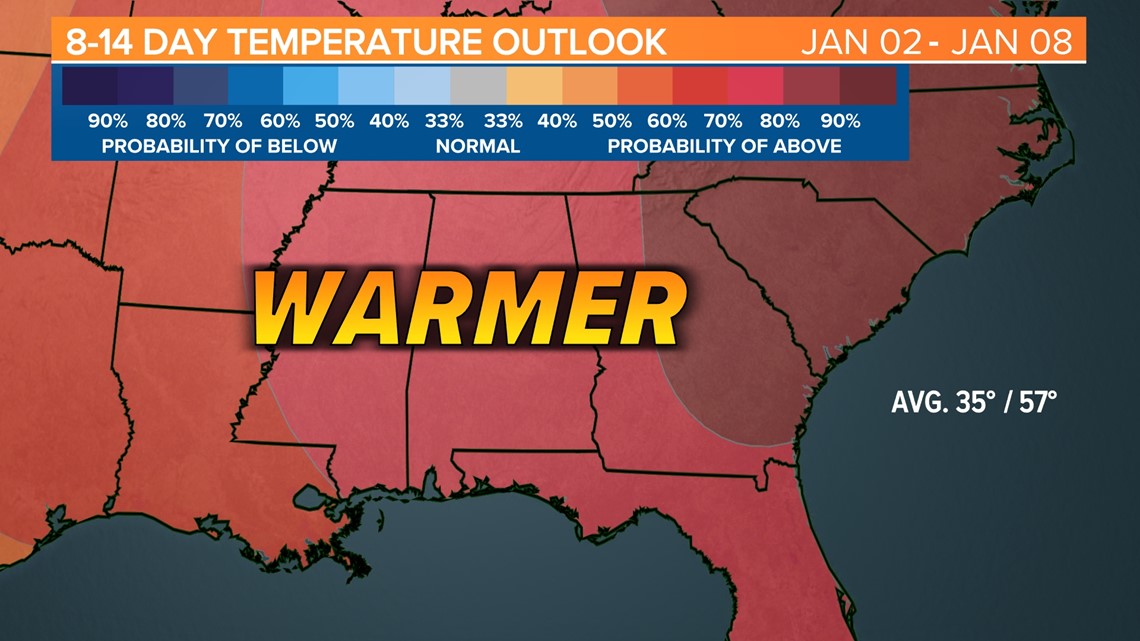
Looking ahead, the 8-14 day temperature outlook shows the potential for warmer-than-normal conditions for most of the South.

