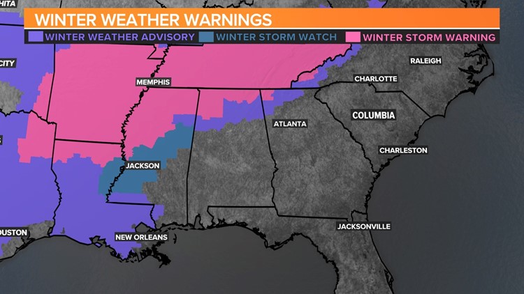
COLUMBIA, S.C. — Get ready for Ol' Man Winter to drag very cold air from Canada down into the Southeast! Freeze warnings are in effect for nearly two-thirds of the U.S. From the northern Rockies to the Great Lakes, extending south to the Southern Plains and parts of the Tennessee Valley, low temperatures are forecasted to be below freezing.

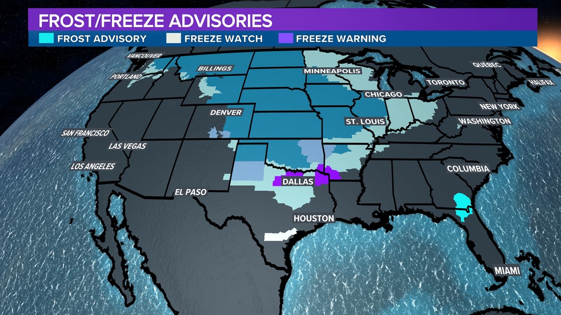
These warnings are in effect for many states through Monday morning. Northern states will experience wind chill temperatures below -40 degrees Fahrenheit, while states along and south of Interstate 40 will have morning lows no higher than the 20s.

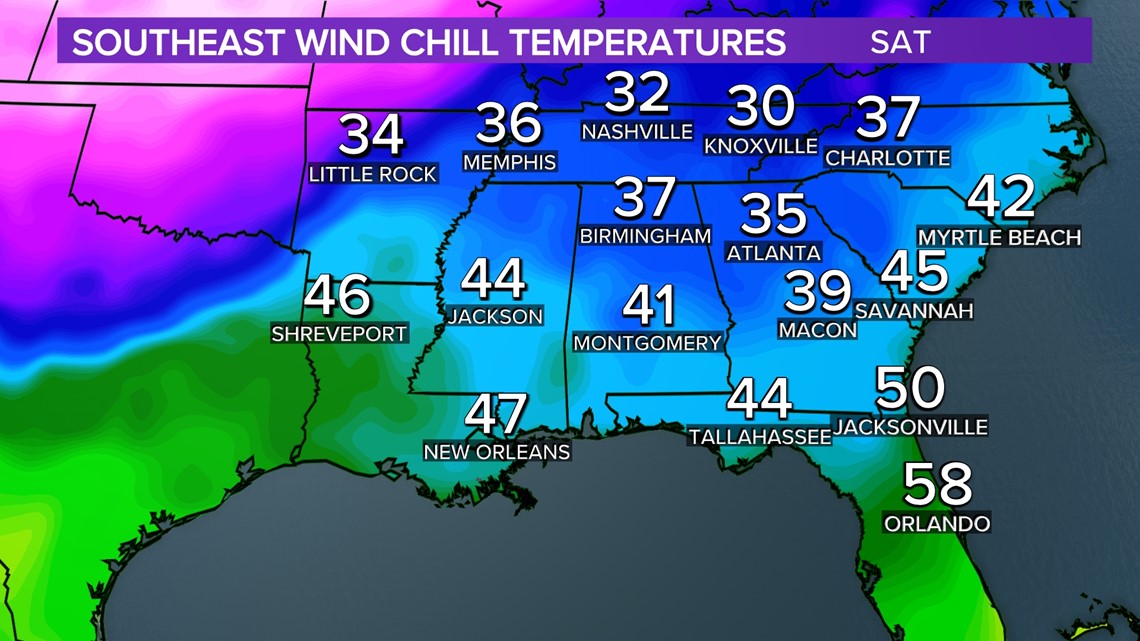
Behind the weather complex that dropped inclement weather to the Southeast Friday, much colder and drier air was pushing through.
While wind chill temperatures in the region by Saturday evening were already in the 30s and 40s, it wasn't due to the Arctic airmass that will be moving in by early next week. Small waves of fronts may produce some precipitation on Monday and Tuesday to some locations south of Interstate 20 and east of Interstate 77. It'll be warm enough to keep the precipitation as rain if it should occur.

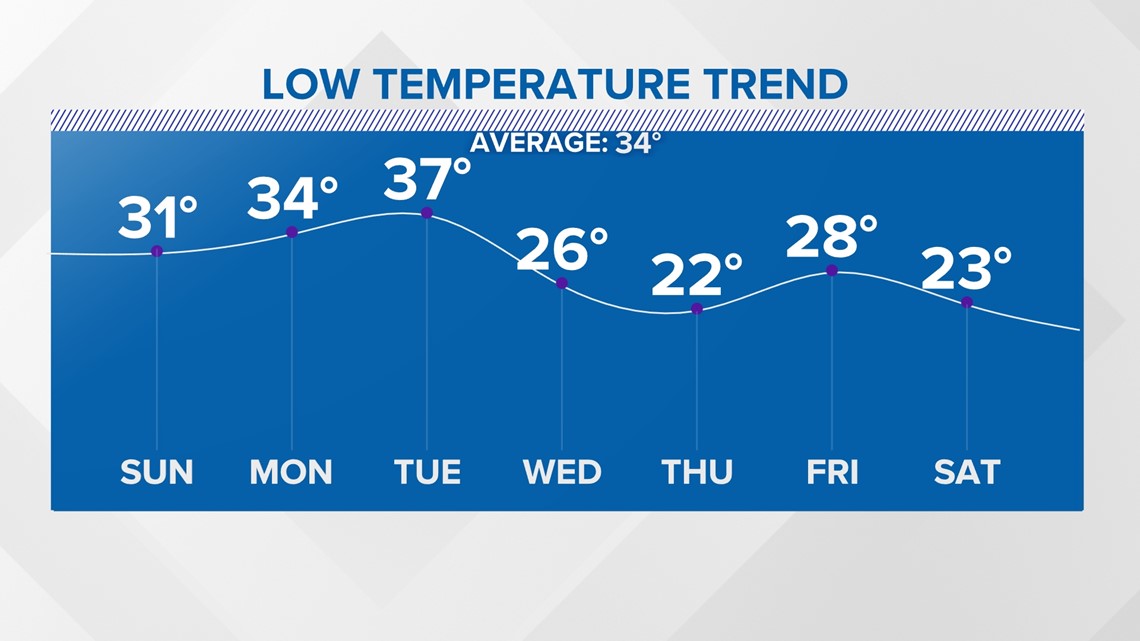
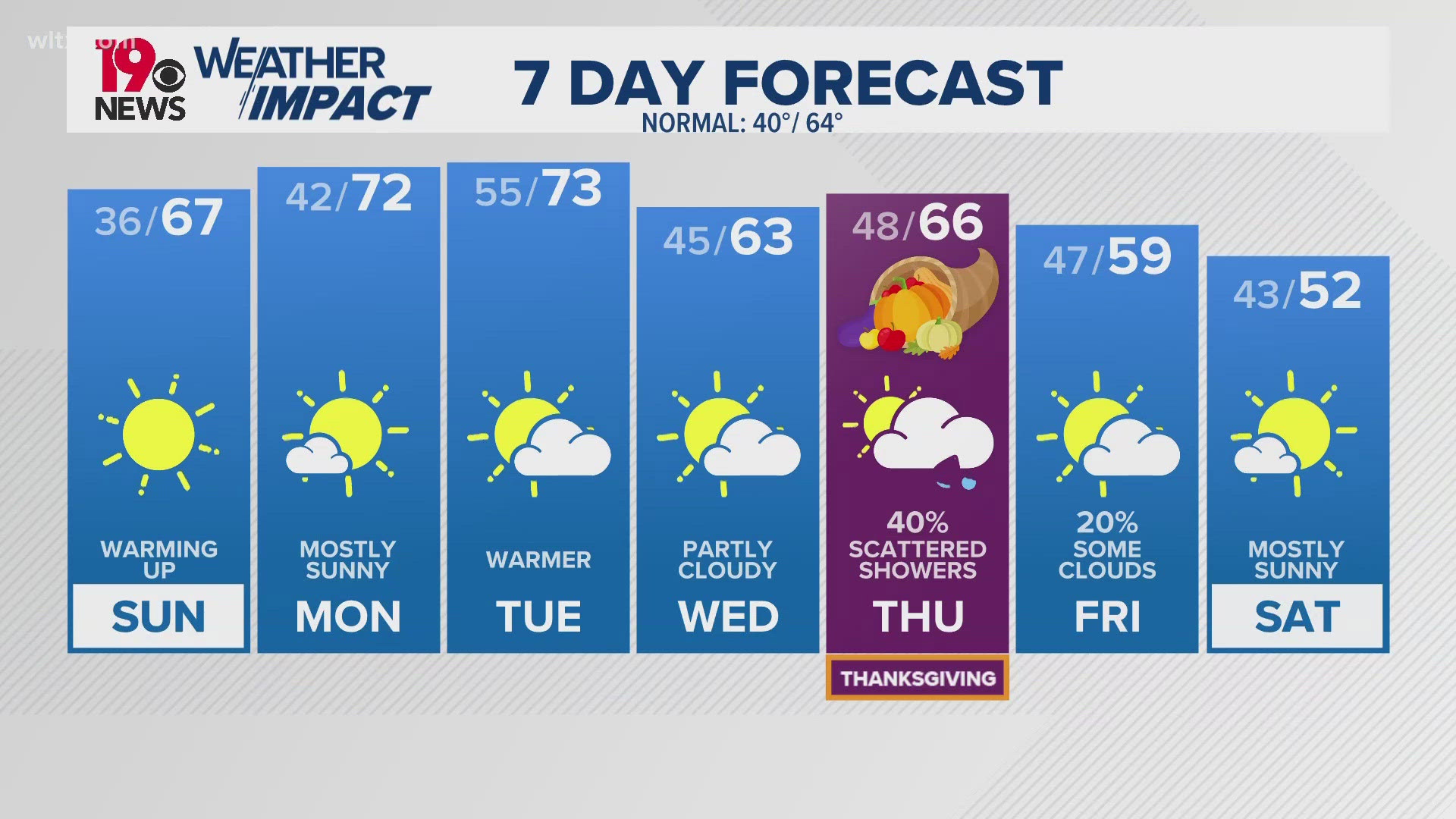
The much colder air will arrive in the Midlands late Tuesday night into Wednesday morning. Most, if not all, of the Midlands counties will have morning low temperatures in the 20s. Afternoon temperatures will be in the 40s, and there is very little chance for rainfall through all of next week.
A second blast of Canadian cold air will push in by next weekend, reinforcing the cold air and making it colder. Many extended long-range models already indicate that the Midlands' low temperatures will be in the teens for a few days by the end of next weekend.
While it's still too early to establish credibility with these potentials, it is worth noting that we will be in a stretch of four to seven days starting Tuesday - that morning temperatures will bottom out in the 20s.
RELATED: Winter driving safety: 5 Fast Facts


