
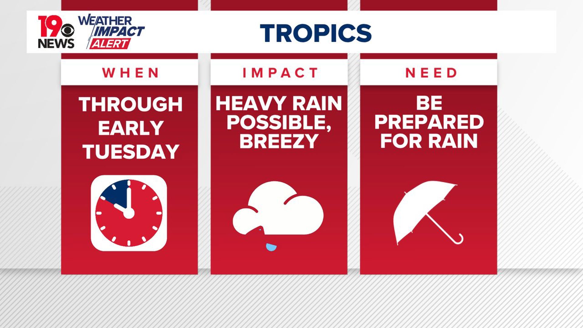
COLUMBIA, S.C. — Potential Tropical Cyclone Eight will bring scattered showers to South Carolina today. The rain chances will be higher in the eastern and northern parts of the state. Breezy conditions will also be likely as the tropical system moves through the area.
The rainfall associated with the tropical system will be the heaviest today and tonight, but no flooding issues are expected. The heaviest rainfall has been in the southeastern part of NC so far today. The storm is currently not expected to become a named storm.
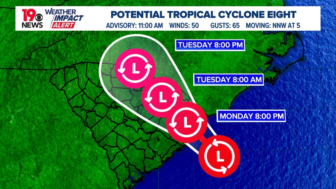
The National Hurricane Center continues to monitor Potential Tropical Cyclone Eight. The storm has not gained strength, and it is not very organized. It was located about 70 miles south-southwest of Cape Fear, N.C.


The storm had maximum sustained winds of around 50 mph with higher gusts. It was moving north-northwest at 5 mph and is expected to pick up speed today and Tuesday before making a gradual turn north by Wednesday.
The developing low-pressure system offshore will drive the rain, bringing a mix of light showers and a few heavy downpours to the Midlands. The heaviest rain will likely stay slightly north of the immediate region.

As we move into Tuesday and Wednesday, expect gusty winds to persist as the low-pressure system moves away. Showers will continue, particularly north of the I-20 corridor, while southern areas might see more sun.
A tropical storm warning is in effect from the Grand Strand to Ocracoke Inlet, N.C. This warning means tropical storm conditions, including strong winds and heavy rain, are expected within the next 24 hours in these areas.
Tropical storm conditions are likely, with winds reaching up to 50 mph and potentially higher gusts. Coastal flooding is also a concern, with water levels possibly rising 1 to 3 feet above normal along parts of the coast. The most severe flooding is expected near the coast, where the storm makes landfall.
Heavy rainfall is another major concern. The storm is expected to bring 4 to 8 inches of rain to northeast South Carolina and southeast North Carolina, with isolated areas receiving up to 10 inches. Other parts of North Carolina could see 2 to 4 inches of rain, with isolated totals near 6 inches.
Additionally, there is a chance of tornadoes in the eastern Carolinas through this evening. The storm will also create dangerous surf conditions and rip currents along the southeastern U.S. coast over the next couple of days.
Residents in the affected areas should stay informed through local weather reports and be prepared for potential flooding, strong winds, and coastal impacts. For detailed information specific to your location, consult the latest updates from the National Weather Service.