
COLUMBIA, S.C. — A heat advisory has been issued for most of South Carolina through 8 p.m. During this period, heat index values are expected to soar up to 110 degrees. The combination of hot temperatures and high humidity increases the risk of heat-related illnesses. Residents should take necessary precautions to stay safe and cool.
To ease the effects of the heat, it is essential to drink plenty of fluids, stay in air-conditioned rooms, and avoid direct sunlight. It is also important to check on relatives and neighbors, particularly those who are vulnerable.
Never leave young children or pets in unattended vehicles, as car interiors can reach deadly temperatures within minutes. When outdoors, wear lightweight and loose-fitting clothing, and try to schedule strenuous activities for early morning or evening.

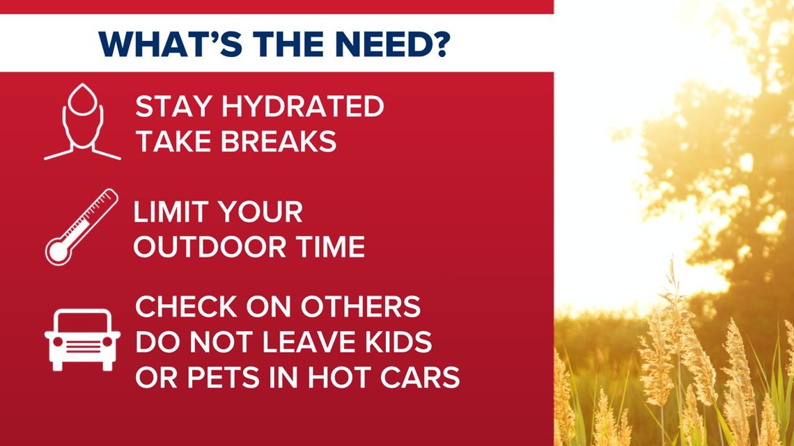
Be alert to the symptoms of heat exhaustion and heat stroke and take immediate action if they occur. For outdoor workers, the Occupational Safety and Health Administration advises taking frequent breaks in shaded or air-conditioned environments. If someone shows signs of heat exhaustion or heat stroke, move them to a cool, shaded area and call 911 immediately. A heat stroke is a medical emergency.
Forecast:
There is a slight chance of thunderstorms, especially along and north of I-20, while areas to the south might see more frequent storms. The main concern with these thunderstorms is the possibility of damaging wind gusts. The Storm Prediction Center has placed the area under a marginal risk for severe weather, with the primary threat being damaging winds.
This evening, thunderstorms are expected to diminish with sunset, but scattered storms may persist into the night due to lingering instability. Skies will remain partly cloudy, with overnight lows in the mid-70s.
Saturday and Sunday are expected to bring widespread showers and storms. Flash flooding is a significant concern, with isolated damaging winds as a secondary threat. A trough moving towards the region will slow down and interact with a tropical wave, increasing moisture levels late Saturday into Sunday. This combination will create favorable conditions for heavy rainfall and storms.
By Saturday afternoon, moisture levels will be high, leading to slow-moving storms that could cause flash flooding, especially along and north of I-20, where recent rainfall has been excessive. The Weather Prediction Center issued a slight risk for excessive rainfall on Saturday. Isolated severe thunderstorms are possible, but flash flooding remains the primary concern.
Tracking the Tropics:
Looking into next week, there is significant uncertainty regarding Potential Tropical Cyclone Four, which will be near the southeastern U.S. by Monday and Tuesday. This system's development and movement will greatly influence the weather, including possible rainfall from tropical moisture.