
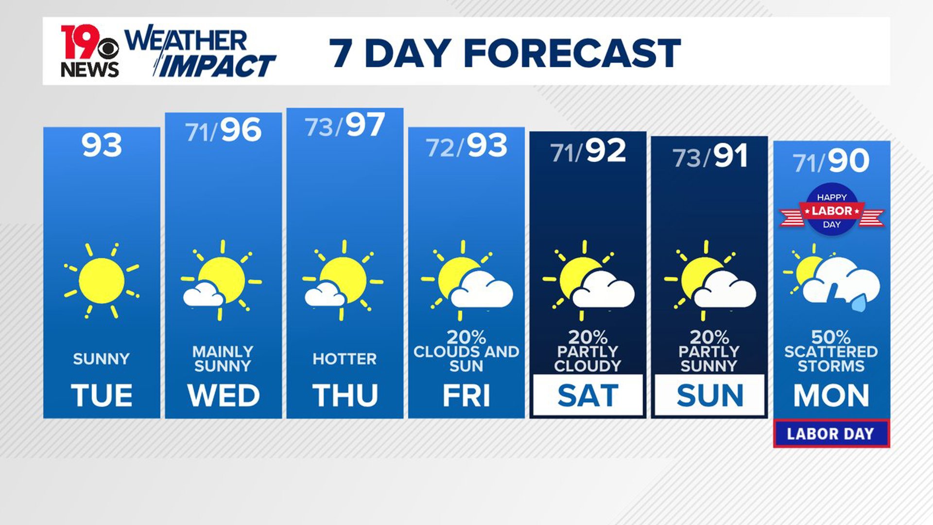
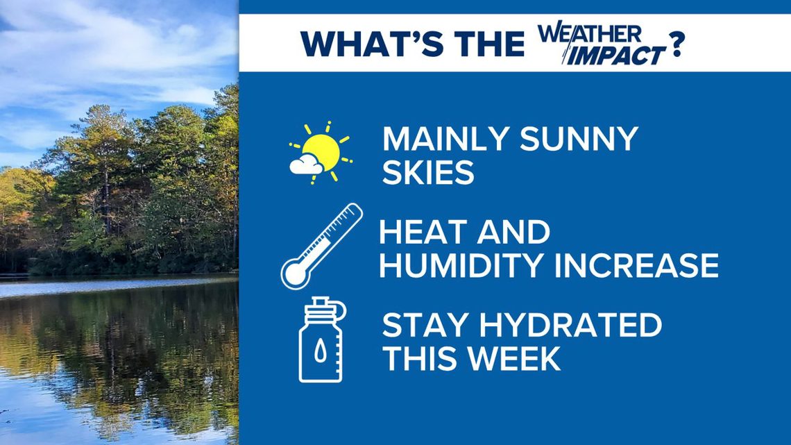
COLUMBIA, S.C. — Temperatures are set to rise across the area as we move through the week, peaking on Thursday. High pressure will keep the weather dry until the weekend, even as moisture levels increase. However, a weak front is expected to approach by the weekend, bringing a slightly higher chance of showers and thunderstorms.
High pressure is dominating the weather across the area. Despite increasing moisture, the dry air in the mid and upper levels will prevent any significant rain today. Expect temperatures in the lower to mid-90s, with slightly warmer overnight lows.
The weather will remain hot and humid through Thursday, with heat index values reaching the triple digits by Wednesday. Rain chances remain low, but a few showers and storms will be possible by the end of the workweek.

As the upper ridge breaks down, cooler and cloudier weather is expected over the weekend. A weak front will bring a higher chance of showers and thunderstorms, especially in the northern areas on Friday and Saturday.
By Sunday, a cold front will increase the likelihood of scattered showers and thunderstorms across South Carolina. Temperatures will return to more seasonal levels.
Tracking the Tropics:

A low-pressure system may develop in the central tropical Atlantic in a few days. As it moves westward to west-northwestward at 10 to 15 mph, conditions could become favorable for slow development over the weekend and into early next week.
The chance of formation in the next 48 hours is very low, but over the next seven days, there is a 20% chance it could develop further.