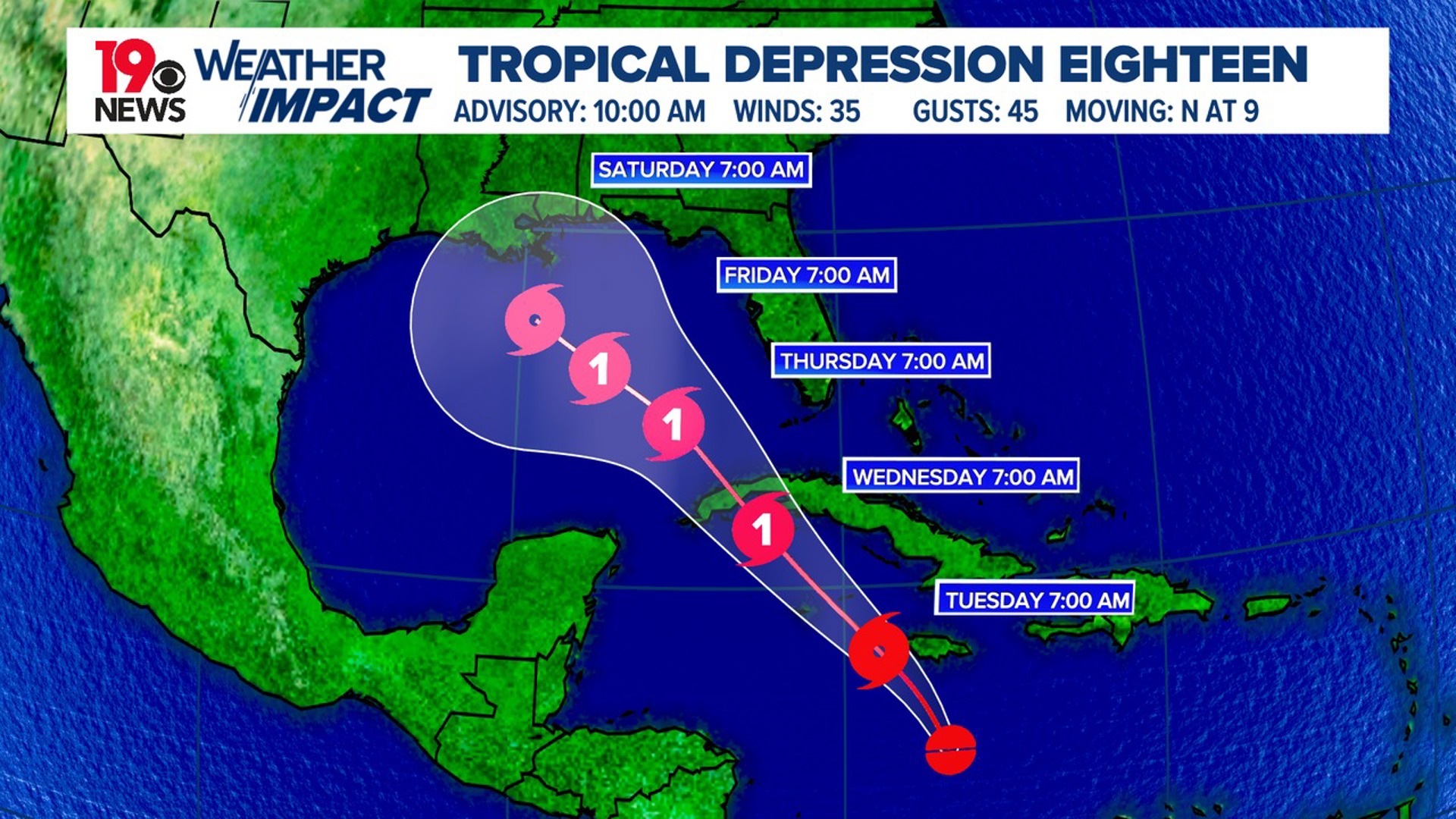
COLUMBIA, S.C. — Potential Tropical Depression Eighteen is showing signs of development, with thunderstorms and heavy rains becoming more concentrated. It is expected to become a tropical depression soon. It is forecast to become a hurricane this week and be called Rafael.
Observations from an Air Force reconnaissance flight and data from satellite images indicate there is not a defined center of circulation. For now, the disturbance remains labeled as a tropical depression, with current winds estimated at about 35 mph. A follow-up flight by the Air Force is expected later today.
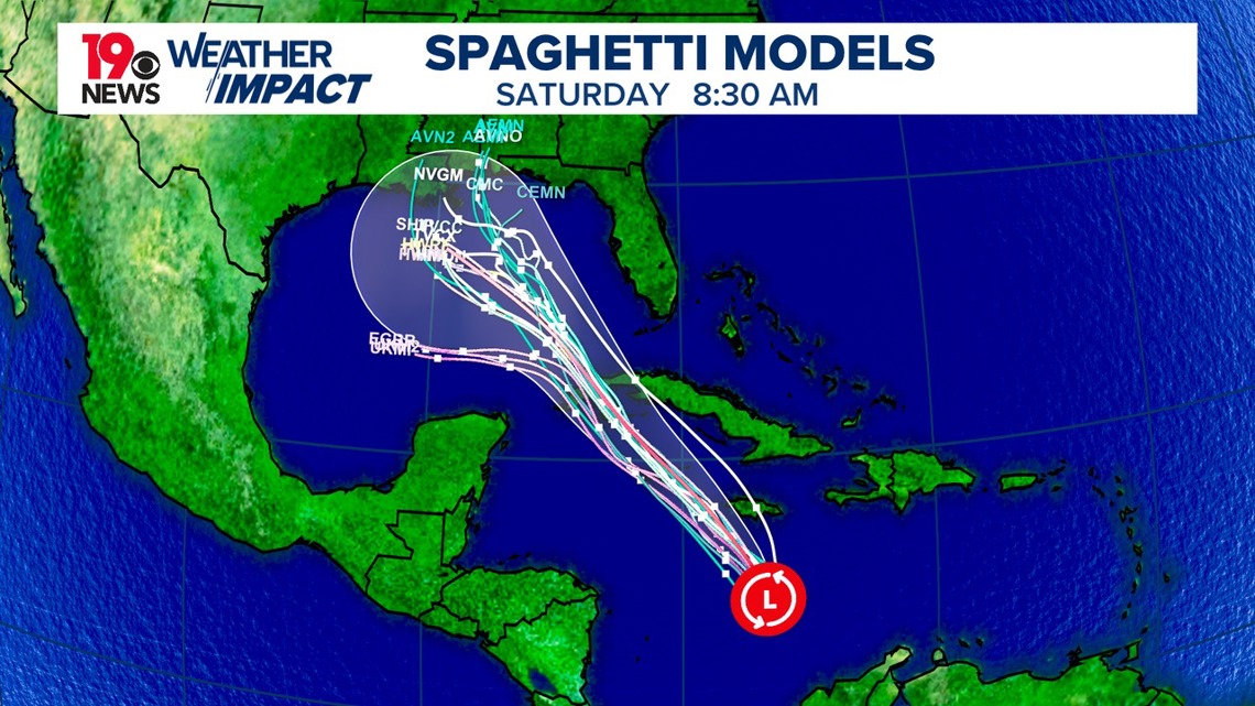
Currently, the disturbance is moving slowly north, but we expect it to shift northwestward over the next few days. However, the long-term track is uncertain, with some models showing the system moving more southwest while others predict it will stay on a northwest course.


The system’s movement will largely depend on nearby high-pressure systems and how much it strengthens over time. This uncertainty also impacts the intensity forecast, as a strong and vertically organized tropical cyclone would follow different atmospheric currents than a weaker, more disorganized storm.
Potential Tropical Cyclone Eighteen is moving over warm Caribbean waters with minimal wind interference; conditions will be favorable for intensification. If a well-defined center develops, the system could strengthen significantly, possibly reaching hurricane status before nearing Cuba.


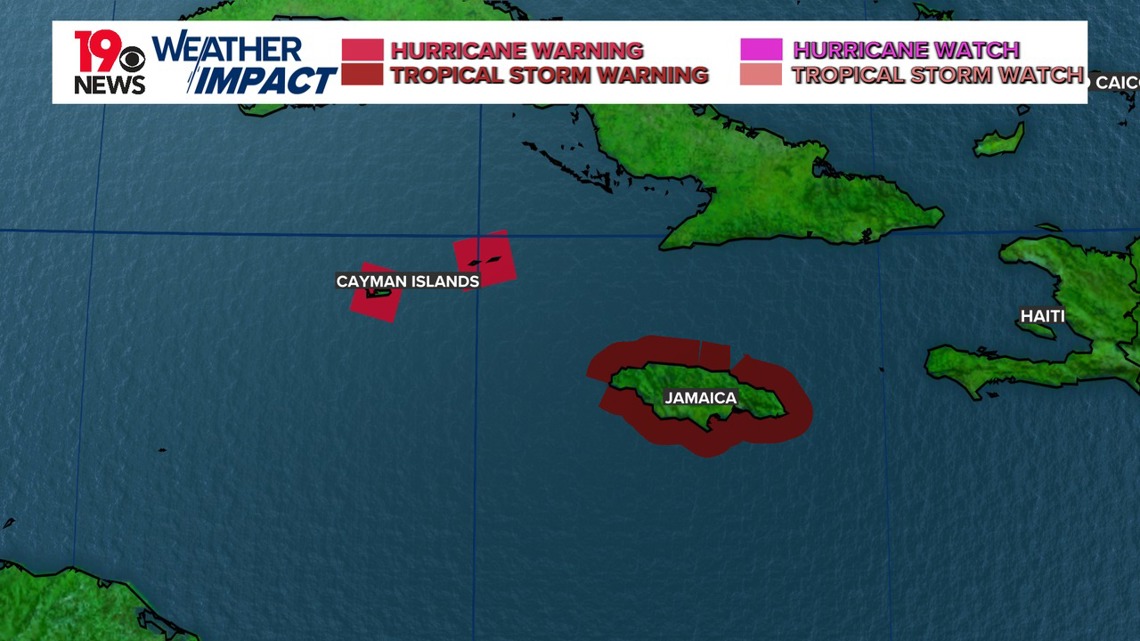
The government of the Cayman Islands issued hurricane warnings early Monday morning for Grand Cayman, Little Cayman, and Cayman Brac. There are no watches or warnings in effect for the United States.
Once it enters the Gulf of Mexico, however, conditions might become less favorable for growth due to stronger winds and drier air.

