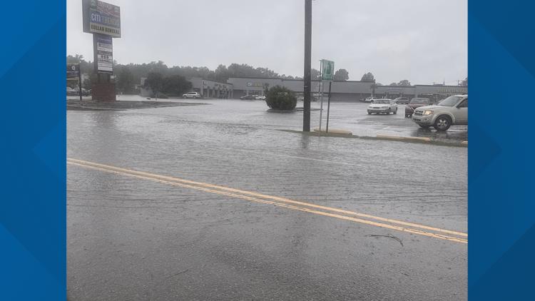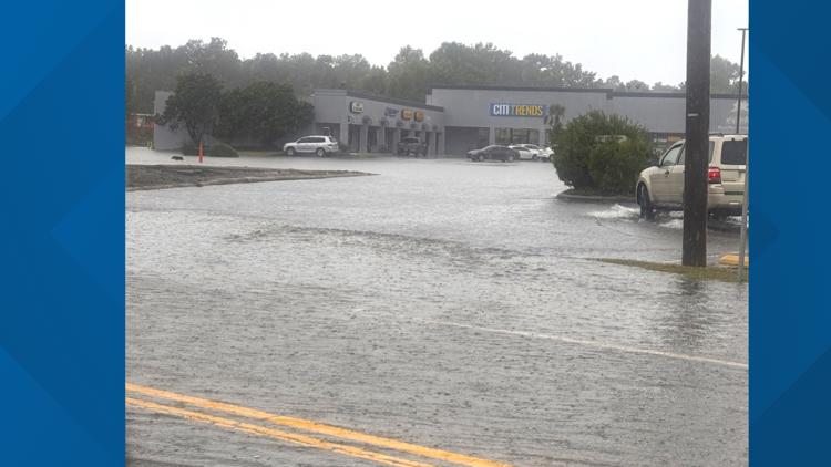
COLUMBIA, S.C. — The effects of what was Hurricane Helene are dying down across South Carolina, but the mess it's left behind will likely linger for days.
CURRENT WATCHES/WARNINGS:
A tornado watch that had been in effect for the entire Midlands has now expired.
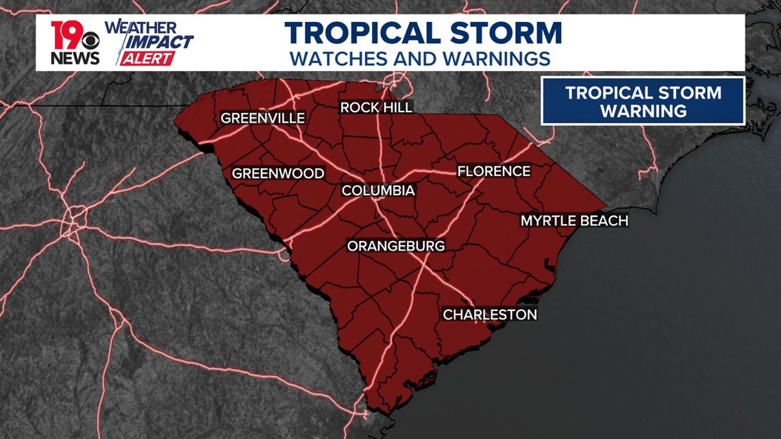
The National Weather Service has also issued a tropical storm warning for all of South Carolina. A tropical storm warning is issued when sustained winds of 39 to 73 mph or higher associated with a tropical cyclone are expected in 36 hours or less.
Helene made landfall Friday at 11:10 p.m. 10 miles west-southwest of Perry, FL as a Category 4 major hurricane with winds of 140 miles an hour. It was still a strong Category Two or perhaps low-end Category 3 hurricane when it crossed into Georgia about two hours later. However, by 5 a.m. the National Hurricane Center confirmed its winds were down to 70 miles an hour, taking it down to tropical storm status. It will continue to downgrade as the day goes on.

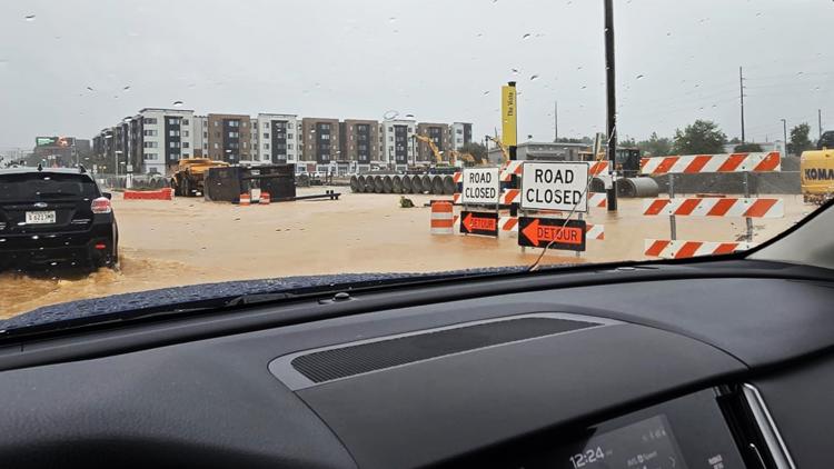
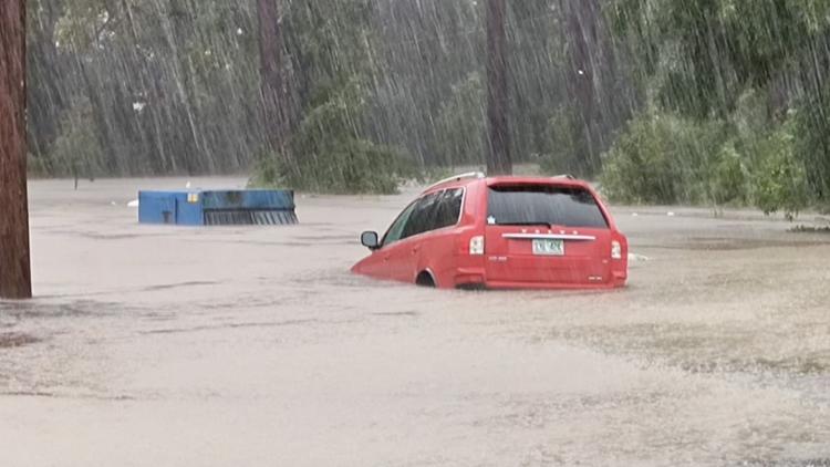
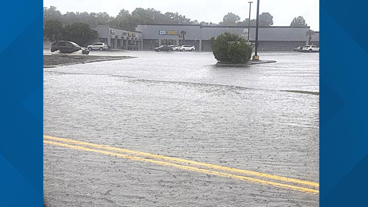
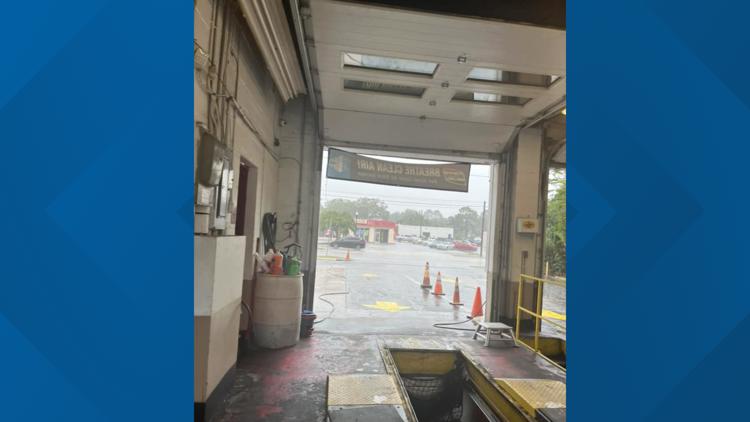
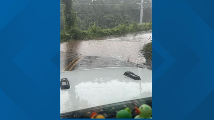
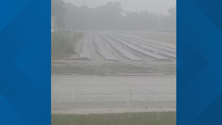
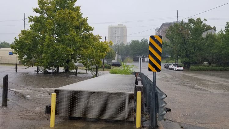
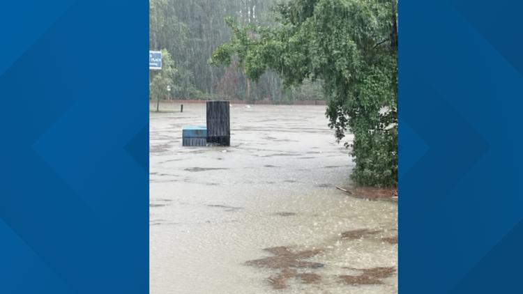
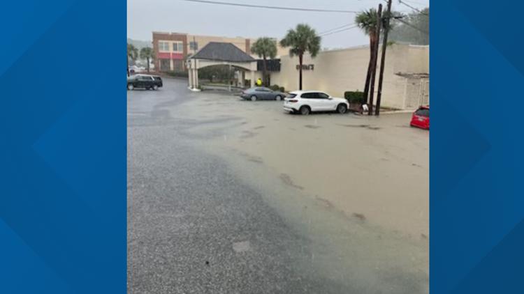
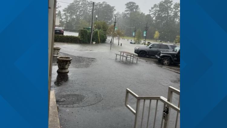
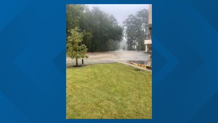
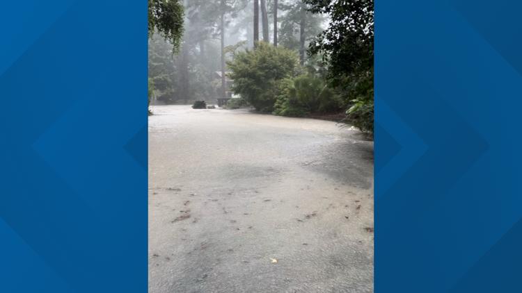
Any chance of additional rain or tornadoes is now over, as the storm has now passed well out of the way of the state. There will be continued breezy conditions however which could continue the risk of several weather.
Power Outages/Trees Down
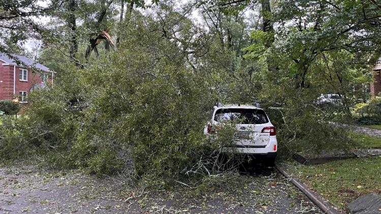
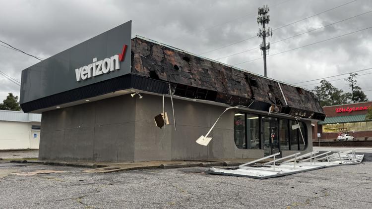
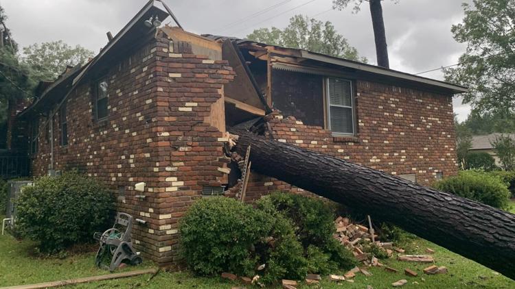
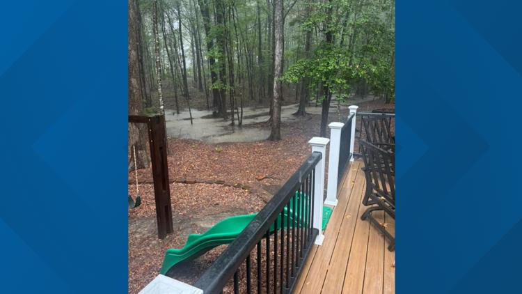
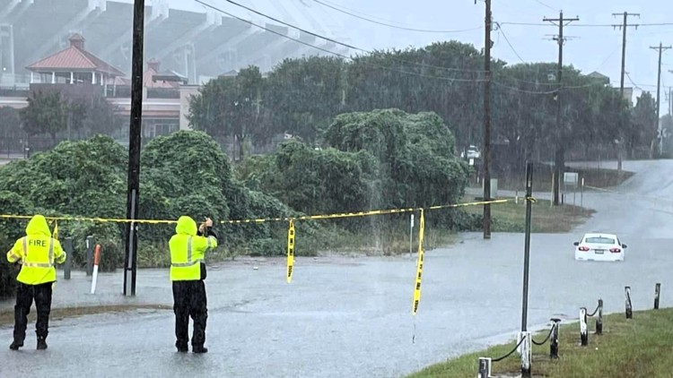
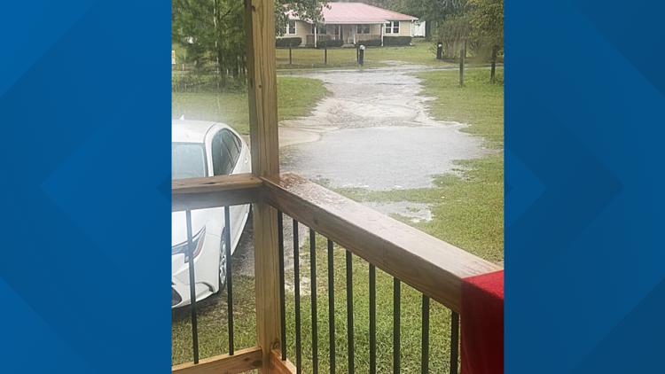
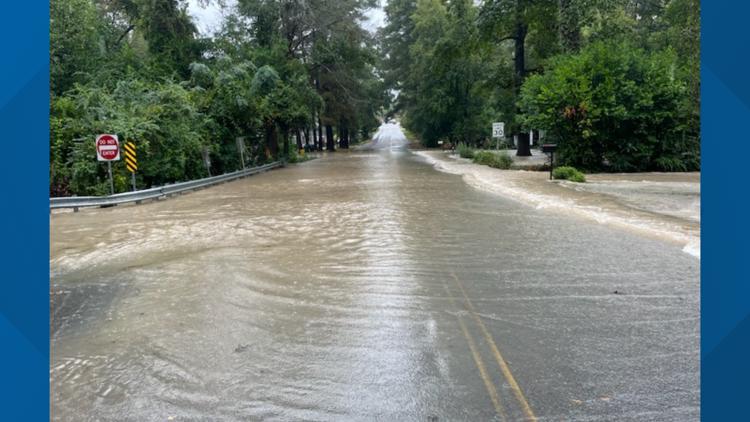
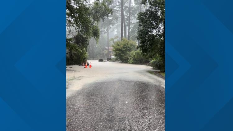
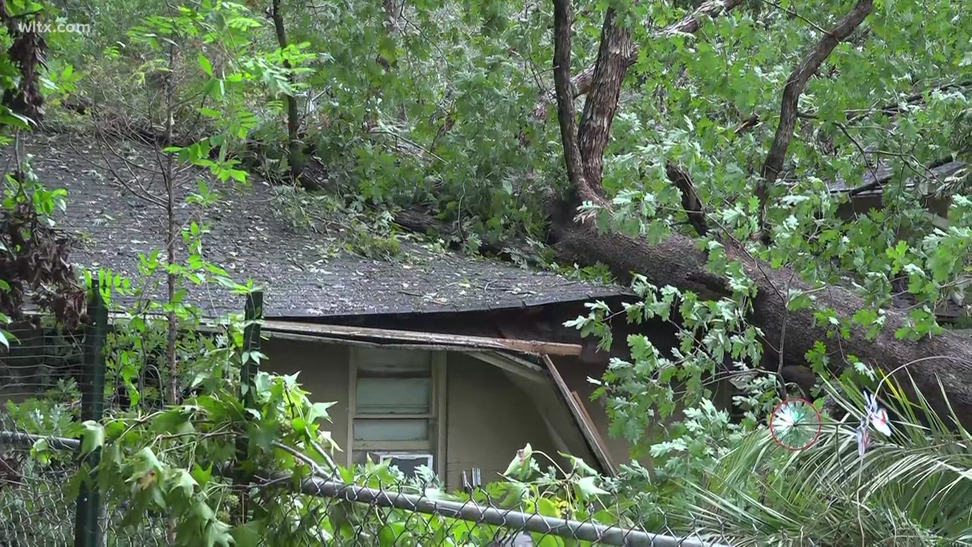
The high winds that came through took down trees and powerlines across the region. Some of those trees fell on homes leading to rescues.
The problem is extensive, with each community reporting extensive problems with trees across roadways that are making it difficult to navigate the area.
Irmo Fire District described the situation as "pandemonium" in a Facebook post early Friday morning. Newberry County Sheriff Lee Foster said it was the worst damage he's seen in his area since he took office--and he's been sheriff since 1989, longer than any sheriff in the state.
Forest Acres also had significant problems reporting over a dozen streets closed due to downed trees.
Even if a roadway has no downed trees, the lack of electricity means traffic lights aren't working.
Helene's rapid movement had led to strong gusts that are significant damage in affected areas. They've already led to downed trees and widespread power outages.
Power outages surged to the highest levels seen in the area in years. At 10:30 a.m., there were over 1.383 million without power statewide, according to PowerOutage.US, an aggregator site. The Associated Press said that represented about 45% percent of the state is without power.
First Death Reported from Helene
One death has been reported in the storm so far. A tree fell on a house Friday morning in Anderson, the Anderson County Coroner’s Office said.
There have been no major reported injuries in the Midlands.
Helene cut a path of destruction across western South Carolina as the storm moved further east than forecast.