

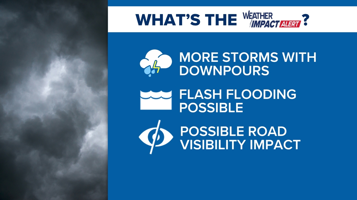
COLUMBIA, S.C. — The News19 Weather Team has issued a Weather Impact Alert Day through tonight for the South Carolina Midlands due to the possibility of heavy rainfall and storms. A Weather Impact Alert Day is a new type of announcement from News19's weather team that informs you about potentially hazardous weather and how to prepare ahead of time.

A flood watch remains in effect through midnight tonight due to the threat of flash flooding caused by excessive rainfall. The watch includes Aiken, Calhoun, Central Orangeburg, Kershaw, Lee, Lexington, Northwest Orangeburg, Richland, and Sumter counties until midnight Friday.

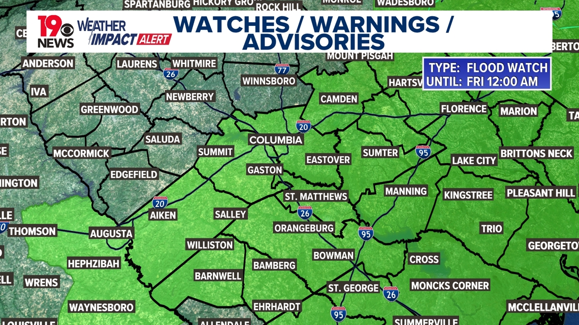
The primary impact continues to be heavy rainfall, which could lead to flash flooding. An additional one to three inches of rainfall is possible. The flood watch issued by the National Weather Service continues until midnight tonight. Excessive rainfall may lead to flooding of rivers, creeks, streams, and other low-lying and flood-prone areas. Creeks and streams may rise out of their banks, and flooding could occur in areas with poor drainage and urban areas.

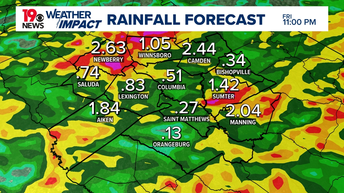
Showers and storms are expected on Friday, with localized heavy rainfall possible. Over the weekend, drier air will move into the region, but a few showers and storms are still possible.
On Saturday, as the upper ridge expands west and the trough deepens over the Atlantic, high pressure will bring in drier air. However, showers and thunderstorms are still expected, mainly in the afternoon and evening. Rainfall rates should be lower than previous days, with high temperatures remaining several degrees below normal.
A few showers and thunderstorms are expected from Sunday to Tuesday, with a reduced threat of heavy rainfall. This will be more of a typical summertime pattern, with temperatures close to normal.