COLUMBIA, S.C. — United States Geological Survey (USGS) confirmed an earthquake that shook the Columbia area Monday afternoon.
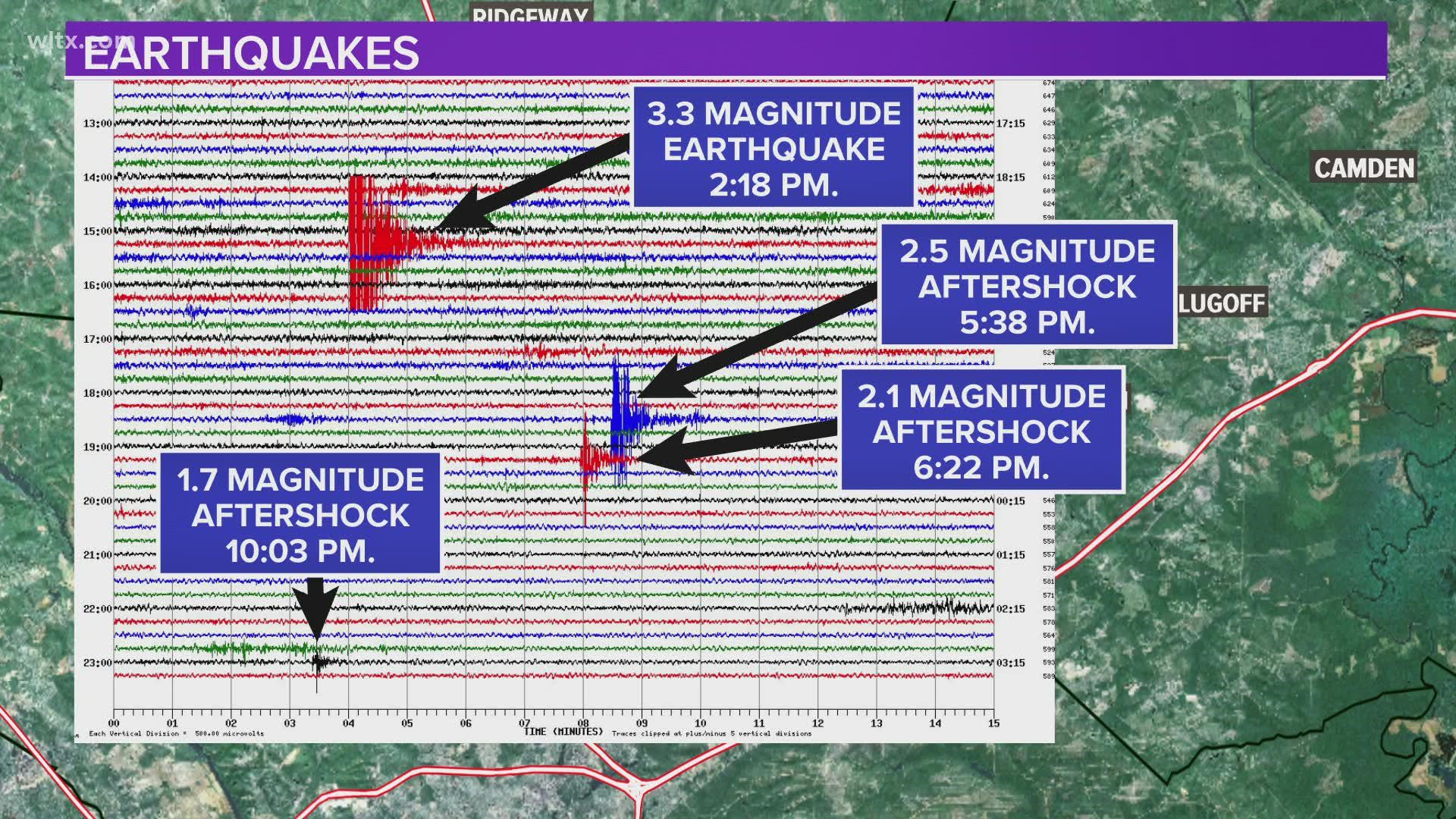
USGS confirms a 3.3 magnitude earthquake about 5 kilometers (3.1 miles) from Elgin rumbled around 2:18 p.m. The exact coordinates of the location are 34.181°N 80.735°W. Originally, USGS recorded the quake as a 2.7 magnitude but revised their information to downgrade it to a 2.5 magnitude around 2:50 p.m. The magnitude was later upgraded by USGS to 3.3 magnitude.
Callers from around the Columbia area -- from Clemson Road to Lexington -- described loud booms and houses shaking.
The earthquake was a rather shallow one, only at a depth of 0.5 kilometers (1,640 feet).
USGS confirmed a 2.35 magnitude aftershock occurred at 5:38 p.m. near Elgin.
A 2.1 magnitude aftershock was recorded at 6:22 p.m., according to USGS.
Another aftershock, this one measured at 1.7 magnitude, was recorded at 10:03 p.m.
If you heard or felt the rumbling, you can report it to the USGS through this link that also has detailed information about the Elgin quake.
In the past two months, a series of seven minor tremors have been reported around the Monticello reservoir in Fairfield County.
If you find yourself outdoors during an earthquake, experts say the best thing to do is stay low to the ground and avoid trees, buildings, and anything else that could fall and injure you.

